We use cookies for your personalized browsing experience, to personalize content and ads, to provide social media features, and to analyze traffic to our website. We also share information about your use of our website with our social media, advertising and analytics partners. Our partners may combine this information with other data that you have provided to them or that they have collected as part of your use of the Services. (incl. US providers)

Start Point

Reith bei Seefeld

End Point

Scharnitz
Difficulty

Easy

Total Distance

18,50 km

Descent Meters

140 m

Ascent Meters

320 m

Highest Point

1200 m

Map & Elevation Profile

Start Point

Reith bei Seefeld

End Point

Scharnitz
Difficulty

Easy

Total Distance

18,50 km

Descent Meters

140 m

Ascent Meters

320 m

Highest Point

1200 m

Cycling

Best Time

Jan

Feb

Mar

Apr

May

Jun

Jul

Aug

Sep

Oct

Nov

Dec

Mountainbike tour

Cycling tour

Route: Bürger- und Tourismusservice Reith - Römerstraße - Reither Waldweg - Ichtyolwerk - Wildsee - Seefeld center - Leutascher Straße - Landgasthof Triendlsäge - Lehenwald - Bodenalm - Gießenbach - Klettergarte Sonnenplatten - Scharnitz center - Naturpark Infozentrum Scharnitz

Route description:

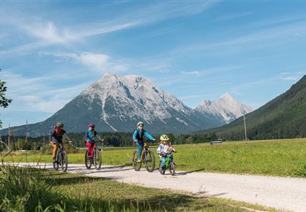
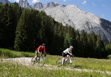
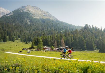
This beautiful bike tour crosses the extensive Region Seefeld along the historic trade axis through the North Tyrolean Alps. The starting point of the tour at the Citizen and Tourism Service Reith is fittingly located directly on the old Roman road to Innsbruck (ancient Roman: Veldidena). Sufficient (paid) parking spaces for motorists are available only a little further at the ICE train station Reith, the arrival by public transport is of course particularly convenient here.

From the village square, the bike tour initially leads along the Römerstraße northward in the direction of Seefeld, but already turns right at the first junction onto the traffic-calmed Reither Waldweg, then crosses the small Schartenbach, makes a turn at the Ichtyolwerk and then follows the course of the road in a right-hand bend to the next large intersection at Hermannstalstraße. Follow this briefly in the direction of Seefeld and then immediately turn left onto the Aulandweg to the edge of the forest.

Read More...

Features & Characteristics

Start Point

Reith bei Seefeld

End Point

Scharnitz

Similar Tour Suggestions

Wettersteinhütte_Wangalm

Cycling

Biketour No. 540 Wettersteinhütte-Wangalm

Length

8,10 km

Uphill

529 hm

Downhill

69 hm

Altitude

1753 hm

Difficulty

Hard

Bike-Tour-durchs-Karwendeltal-aufs-Karwendelhaus

Cycling

Biketour No. 595 Karwendeltal-Karwendelhaus

Length

37,00 km

Uphill

850 hm

Altitude

1771 hm

Difficulty

Medium

Seebensee mit Raeder im Vordergrund

Cycling

Biketour No. 551 Seebensee

Length

11,60 km

Uphill

410 hm

Downhill

30 hm

Altitude

1658 hm

Difficulty

Medium

Verbindung-Seefeld-Reith Pfarrhügel (c) Anna Rieder

Cycling

Bike-connection No. 5030 Seefeld-Reith

Length

10,20 km

Uphill

120 hm

Downhill

115 hm

Altitude

1193 hm

Difficulty

Easy

Radfahrer unterwegs im Gaistal mit Blick auf die Leutascher Ache

Cycling

Biketour No. 552 Gaistal-Hochfeldern Alm

Length

11,20 km

Uphill

560 hm

Downhill

30 hm

Altitude

1732 hm

Difficulty

Hard

Gravelbiker auf der Gleirschhoehe im Hinterautal - Naturpark Karwendel

Cycling

Biketour No. 581 Gleirschtal-Pfeishütte

Length

39,00 km

Uphill

1152 hm

Downhill

1145 hm

Altitude

1922 hm

Difficulty

Hard

Gravelbiken in der Region Seefeld (3).jpg

Cycling

Radwanderroute: Scharnitz - Seefeld - Reith

Length

18,50 km

Uphill

320 hm

Downhill

140 hm

Altitude

1200 hm

Difficulty

Easy

E-Bike-Pause-bei-Huette.jpg

Cycling

Bike-connection No. 546 Mösern-Seefeld

Length

5,30 km

Uphill

100 hm

Downhill

130 hm

Altitude

1240 hm

Difficulty

Medium