We use cookies for your personalized browsing experience, to personalize content and ads, to provide social media features, and to analyze traffic to our website. We also share information about your use of our website with our social media, advertising and analytics partners. Our partners may combine this information with other data that you have provided to them or that they have collected as part of your use of the Services. (incl. US providers)

Start Point

Leutasch Gaistal parking Salzbach (P5)

End Point

Leutasch Gaistal parking Salzbach (P5)

Difficulty

Easy

Total Distance

9,60 km

Descent Meters

174 m

Ascent Meters

174 m

Highest Point

1358 m

Map & Elevation Profile

Start Point

Leutasch Gaistal parking Salzbach (P5)

End Point

Leutasch Gaistal parking Salzbach (P5)

Difficulty

Easy

Total Distance

9,60 km

Descent Meters

174 m

Ascent Meters

174 m

Highest Point

1358 m

Cycling

Best Time

Jan

Feb

Mar

Apr

May

Jun

Jul

Aug

Sep

Oct

Nov

Dec

Mountainbike tour

Cycling and mountain biking

Route: Parking Salzbach (P5) – Almenparadies Gaistal – turnoff Gaistalalm – (Gaistalalm) – Tillfussalm – turnoff Gaistalalm – Almenparadies Gaistal – Parking Salzbach (P5)

Route description:

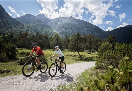
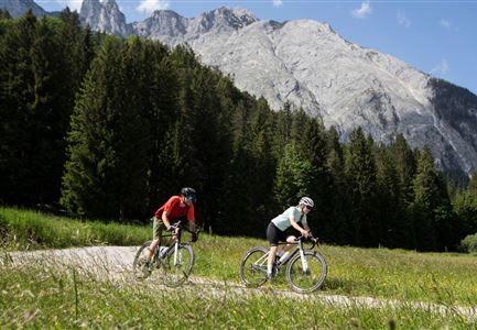
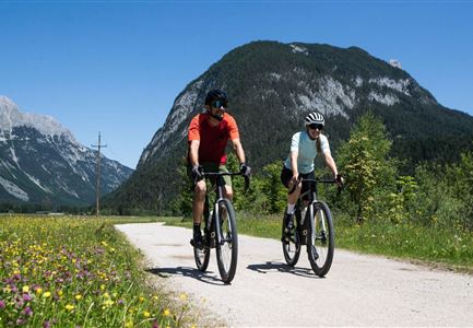
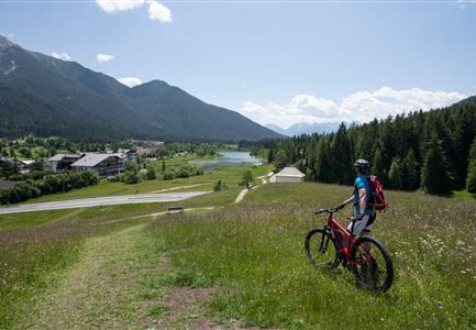
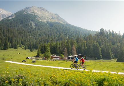
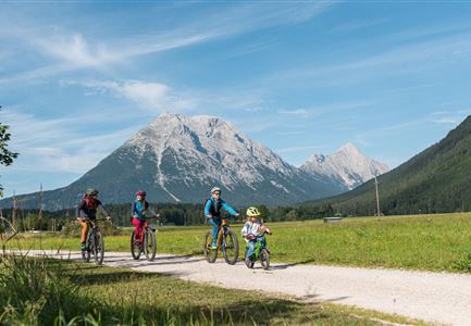
Because two alpine pastures are even more beautiful than one alone, this leisurely bike tour combines two of the most beautiful refreshment stops in the extensive Gaistal on just under five kilometers.

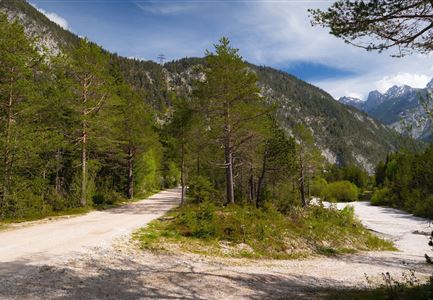
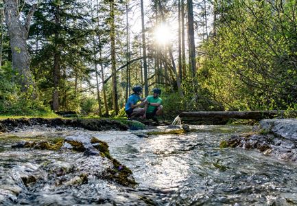
From the starting point at the Salzbach parking lot (P5), you pass the entrance to the Almenparadies Gaistal and take the wide gravel road uphill on the right and follow the signs (Seebensee Nr. 551). Once you have overcome the first steep ascent, follow the signs to the Gaistalalm across wide mountain meadows and through cool wooded areas along the Leutascher Ache. Once you reached the junction pedal the last stretch on the bike trail nr. 551 to the Tillfussalm, where literary legend Ludwig Ganghofer devoted himself to various domestic delights back in the day - his hunting lodge Hubertus can still be admired above the alpine hut.


The last part to the mountain pasture is a pushing stretch (please be considerate of alpine animals!), afterwards the cozy sun terrace rewards you with hearty Brettljausn and home made alpine cheese, delicious

Read More...

Features & Characteristics

Start Point

Leutasch Gaistal parking Salzbach (P5)

End Point

Leutasch Gaistal parking Salzbach (P5)

Similar Tour Suggestions

Symbolbild Biken

Cycling

Biketour No. 5049 Reith-Kaiserstandrunde

Length

6,20 km

Uphill

248 hm

Altitude

1327 hm

Difficulty

Hard

Bikepause an der Isarquelle.jpg

Hiking

Bike & Hike Halleranger house - Halleranger alm

Length

38,00 km

Duration

06:00 h

Uphill

832 hm

Altitude

1768 hm

Difficulty

Medium

Hohe Gleirsch_2.jpg

Hiking

Bike & Hike Hoher Gleirsch Summit, 2,492 m

Length

31,00 km

Duration

09:30 h

Uphill

1772 hm

Altitude

2492 hm

Difficulty

Hard

Gravelbiken am Oberen Achweg - Fahrt entlang des Flusses.jpg

Cycling

Biketour Arnspitzrunde

Length

33,10 km

Uphill

377 hm

Altitude

1220 hm

Difficulty

Medium

Gravelbiken in der Region Seefeld (5).jpg

Cycling

Radwanderroute: Scharnitz - Seefeld - Reith

Length

18,50 km

Uphill

320 hm

Downhill

140 hm

Altitude

1200 hm

Difficulty

Easy

Scharnitz - Wanderung Dorfrunde - Biker am Weg von Scharnitz nach Gießenbach (2).jpg

Cycling

Radwanderroute: Reith - Seefeld - Scharnitz

Length

18,50 km

Uphill

140 hm

Downhill

320 hm

Altitude

1200 hm

Difficulty

Easy

E-Biken bei der Hochegg Alm - Seefeld

Hiking

Bike & Hike Seefelder Spitze Summit, 2,220 m

Length

13,00 km

Duration

04:30 h

Uphill

1094 hm

Downhill

799 hm

Altitude

2220 hm

Difficulty

Hard

Bike-Tour-durchs-Karwendeltal-aufs-Karwendelhaus

Cycling

Bike Trail Tirol Etappe 07: Scharnitz-Achensee

Length

61,50 km

Uphill

1850 hm

Downhill

1880 hm

Altitude

1800 hm

Difficulty

Hard