Start Point
Leutasch Gaistal parking Salzbach (P5)
End Point
Gaistalm
Difficulty
Easy
Total Distance
4,00 km
Descent Meters
136 m
Ascent Meters
30 m
Highest Point
1356 m
Total Time
00:30 h
Cycling
Best Time
Jan
Feb
Mar
Apr
May
Jun
Jul
Aug
Sep
Oct
Nov
Dec
Mountainbike tour
Route description:
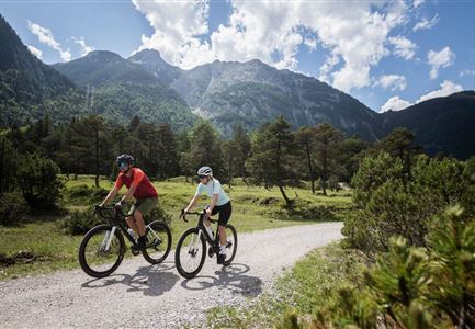
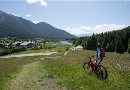
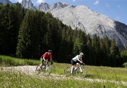
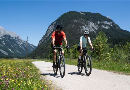
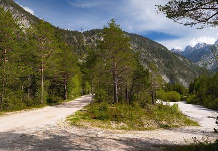
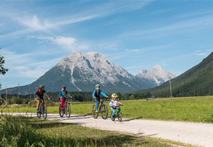
The family-friendly tour to the Gaistalalm is perfect for a brief but wonderful biking adventure: Directly at the starting point near the Salzbach parking lot (P5) you’ll find the entrance to the expansive Almenparadies Gaistal. Follow the signposted (Gaistal-Rotmoosalm Nr. 553) wide gravel road uphill, take the turnoff to the Gaistalalm after the initial uphill section and reach your destination in through shadowy forests, across wide alpine meadows and along the turquoise-blue Leutascher Ache.
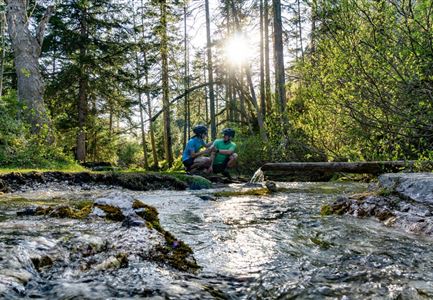
The cozy sun terrace of the Gaistalalm will then reward you with a variety of homemade delicacies from the alpine cuisine, while the kids can let off some steam at the playground close-by. After the meal, the Leutascher Ache offers a variety of opportunities for play and refreshment and short hikes through the woods and meadows can easily fill wonderful afternoons here. On the way home, an idyllic natural Kneipp facility awaits tired calves in the forest at the parking lot - eventually dirty kids may also be carefully cleaned here.
Attention pasture cattle, please keep distance and cross the pasture area calmly and quickly.
Alpine emergency call:
Call: 140
Features & Characteristics
Refreshment stops
Start Point
Leutasch Gaistal parking Salzbach (P5)
End Point
Gaistalm
