Start Point
Neuleutasch or Wildmoos
End Point
Neuleutasch or Wildmoos
Difficulty
Hard
Total Distance
5,10 km
Descent Meters
142 m
Highest Point
1335 m
Status
Cross-country Skiing
Best Time
Jan
Feb
Mar
Apr
May
Jun
Jul
Aug
Sep
Oct
Nov
Dec
Ski-nordic-classic
Trail Entry Point:
via A3 Torfstich or near Gasthof Neuleutasch
Trail Character:
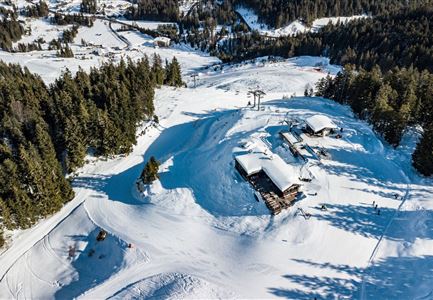
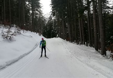
The highly challenging trail starts halfway along the A3 Torfstich trail and runs mainly through the forest, with few open sections. It is suitable for experienced skiers and can also be used as a training route. A refreshment stop is available at Gasthof Neuleutasch, where you can also access or leave the trail on the opposite side of the road.
Note: Trail conditions may change throughout the day depending on the weather. Please be aware that icy sections or deep ruts may occur and adjust your skiing accordingly.
Connecting Trails:
A3 Torfstich and B15 High-Altitude Trail
An overview of the entire cross-country skiing network (including current trail status) and helpful information for skiers (ticket machines, waxing and service stations, changing facilities, etc.) can be found in the trail report.
Features & Characteristics
Stamina
Technique
Refreshment stops
Start Point
Neuleutasch or Wildmoos
End Point
Neuleutasch or Wildmoos
Skating
Yes
Klassisch
Yes
