Start Point

Seefeld Seekirchl

End Point

Seefeld Seekirchl

Difficulty

Hard

Total Distance

9,00 km

Descent Meters

260 m

Highest Point

1236 m

Status

Closed

Map & Elevation Profile

Start Point

Seefeld Seekirchl

End Point

Seefeld Seekirchl

Difficulty

Hard

Total Distance

9,00 km

Descent Meters

260 m

Highest Point

1236 m

Status

Closed

Cross-country Skiing

Best Time

Closed

Jan

Feb

Mar

Apr

May

Jun

Jul

Aug

Sep

Oct

Nov

Dec

Ski-nordic

Ski-nordic-classic

+4

Access to the ski track:

Seekirchl Seefeld, WM-Arena, Seewaldalm

Connected tracks:

A1 | B1 | C2

An overview of the entire cross-country skiing network (incl. trail status) and helpful cross-country skiing information (ticket machines, waxing and service points, changing facilities, ...) can be found in the cross-country skiing report.

Track characteristics:

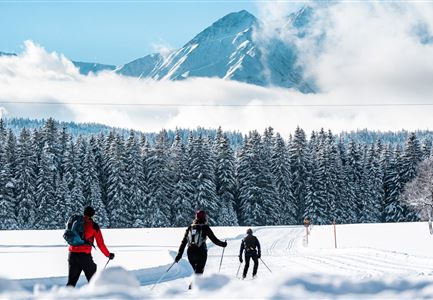
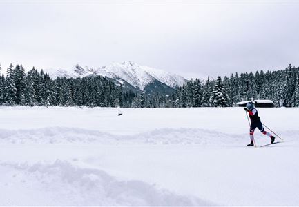
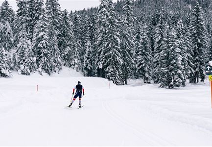
The C1 WM-2019 trail takes skiers on a journey through those Nordic events that have taken place or are due to take place in Seefeld. One section, for example, takes skiers along the original route that was used by the world’s top cross-country athletes during the 2019 Nordic World Championships.

Information:

Owing to the fact that the route, at one point, crosses the Möserertal valley from north to south, skiers must cover a short section on the A1 trail.

Refreshment stops:

Seewaldalm, Sportalm, Olympiabad Seefeld

Public transport:

The fastest public connection to the start of the cross-country skiing trail can be found directly in our route planner. Take the regional/ski bus to the stop "WM-Halle" (free bus use with guest card or cross-country skiing ticket). You can find all connections in real time with the Mobility-App "wegfinder".

Parking

Read More...

Features & Characteristics

Start Point

Seefeld Seekirchl

End Point

Seefeld Seekirchl

Snow cover

Yes

Skating

Yes

Klassisch

Yes

Similar Tour Suggestions

Leutasch Katzenkopf

Cross-country Skiing

C4 - Katzenkopf

Length

2,20 km

Uphill

45 hm

Altitude

1373 hm

Difficulty

Hard

Closed
Loipe Plaik mit Blick auf die Hohe Munde - Loipe C9 - Luftaufnahme.jpg

Cross-country Skiing

C9 - Plaik

Length

8,70 km

Uphill

169 hm

Altitude

1224 hm

Difficulty

Hard

Closed
C8 Rauthgatter Loipe - Buchen

Cross-country Skiing

C8 - Rauthgatter

Length

1,50 km

Uphill

77 hm

Altitude

1340 hm

Difficulty

Hard

Closed
A3-C3-C4-C5 in Wildmoos

Cross-country Skiing

C5 - Kaserwald

Length

2,60 km

Uphill

58 hm

Altitude

1388 hm

Difficulty

Hard

Closed
Kaiser Maximilian Runde Leutasch

Cross-country Skiing

Kaiser Max Round (classic & skating)

Length

60,00 km

Uphill

659 hm

Altitude

1337 hm

Difficulty

Hard

Closed
Langlaeuferin auf der Loipe C2 im Wildmoos am Morgen - Klassisch

Cross-country Skiing

C2 - Wildmoos

Length

4,80 km

Uphill

144 hm

Altitude

1297 hm

Difficulty

Hard

Closed
C7 Loipe_Loipe bergauf.jpg

Cross-country Skiing

C7 - Bichlwald

Length

3,60 km

Uphill

141 hm

Altitude

1323 hm

Difficulty

Hard

Closed
Langlaufen auf der C11

Cross-country Skiing

C11 - Lottensee

Length

3,40 km

Uphill

99 hm

Altitude

1332 hm

Difficulty

Hard

Closed