Start Point

Seefeld - Wildmoosalm

End Point

Wildmoosalm Seefeld

Difficulty

Easy

Total Distance

1,80 km

Descent Meters

11 m

Highest Point

1317 m

Status

Closed

Map & Elevation Profile

Start Point

Seefeld - Wildmoosalm

End Point

Wildmoosalm Seefeld

Difficulty

Easy

Total Distance

1,80 km

Descent Meters

11 m

Highest Point

1317 m

Status

Closed

Cross-country Skiing

Best Time

Closed

Jan

Feb

Mar

Apr

May

Jun

Jul

Aug

Sep

Oct

Nov

Dec

Ski-nordic

Ski-nordic-classic

Access to the ski tracks:

via tracks B3, C2, C3, C5

Connected tracks:

B3 | C2 | C3

An overview of the entire cross-country skiing network (incl. trail status) and helpful cross-country skiing information (ticket machines, waxing and service points, changing facilities, ...) can be found in the cross-country skiing report.

Track characteristics:

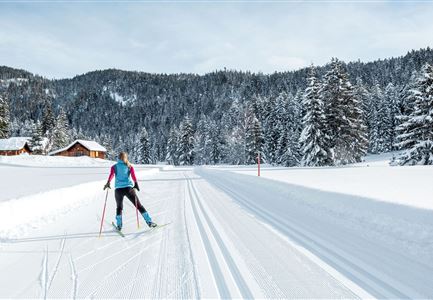
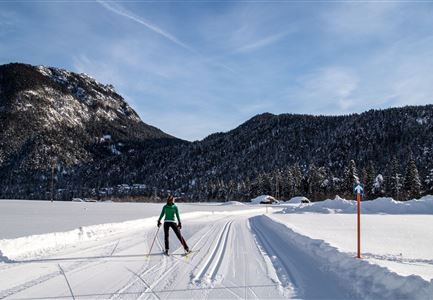
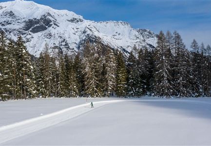
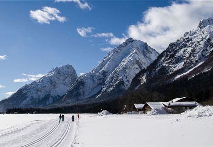
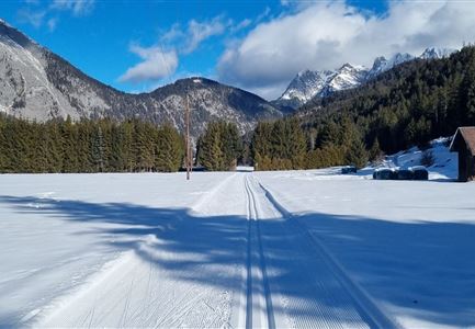
The A3 Torfstich track runs through a unique landscape with a strong Scandinavian feel to it. It leads over swampland, past ancient trees, and enjoys sunshine from morning to night. Ideally suited to beginners to the sport in search of peace and tranquillity.

Information:

Very snow-reliable thanks to its location at an altitude of 1,319 metres.

Adaptive cross-country skiing is possible!

Refreshment stop:

Wildmoosalm

Public transport:

The fastest public connection to the start of the cross-country skiing trail can be found directly in our route planner. Take the Regio-/Skibus to the "Wildmoos" stop (a bus ticket is required for the Wildmoosbus – the guest card, leisure residence card & cross-country skiing card are valid as bus ticket). You can find all connections in real time with the Mobility-App "wegfinder".

Emergency call:

Tel.: 140

Features & Characteristics

Start Point

Seefeld - Wildmoosalm

End Point

Wildmoosalm Seefeld

Barrier-free/adaptive cross-country skiing

Yes

Skating

Yes

Klassisch

Yes

Videos

Similar Tour Suggestions

Luftaufnahme der Loipe A10 Weidach mit Langlaeuferin und Hoher Munde.jpg

Cross-country Skiing

A10 – Weidach

Length

1,70 km

Uphill

14 hm

Altitude

1120 hm

Difficulty

Easy

Closed
Seefeld Nachtloipe A7 mit Seekirchl zur Blauen Stunde.jpg

Cross-country Skiing

A1 - Nachtloipe - flood light trail

Length

3,00 km

Uphill

19 hm

Altitude

1189 hm

Difficulty

Easy

Closed
Loipe A9 Unterleutasch

Cross-country Skiing

A9 - Unterleutasch

Length

13,70 km

Uphill

81 hm

Altitude

1092 hm

Difficulty

Easy

Closed
Loipe A8 Lehner mit Langlaeuferin

Cross-country Skiing

A8 - Lehner

Length

1,90 km

Uphill

23 hm

Altitude

1100 hm

Difficulty

Easy

Closed
Neuschnee und Snowlarming Eröffnung-18.jpg

Cross-country Skiing

A6 - Alpenbad

Length

5,60 km

Uphill

70 hm

Altitude

1160 hm

Difficulty

Easy

Closed
Loipe A12 - Scharnitz - Luftaufnahme.jpg

Cross-country Skiing

A12 - Scharnitz

Length

3,40 km

Uphill

20 hm

Altitude

980 hm

Difficulty

Easy

Closed
A14_Baerenwirt.JPG

Cross-country Skiing

A14 - Bärenwirt

Length

1,20 km

Uphill

9 hm

Altitude

1021 hm

Difficulty

Easy

Closed
Langlaufen-A4-Muggenmoos-Loipe---Buchen

Cross-country Skiing

A4 - Muggenmoos

Length

1,60 km

Uphill

15 hm

Altitude

1262 hm

Difficulty

Easy

Closed