Start Point

Obern Leutasch

End Point

Gaistal Leutasch

Difficulty

Hard

Total Distance

3,60 km

Descent Meters

141 m

Highest Point

1323 m

Status

Closed

Map & Elevation Profile

Start Point

Obern Leutasch

End Point

Gaistal Leutasch

Difficulty

Hard

Total Distance

3,60 km

Descent Meters

141 m

Highest Point

1323 m

Status

Closed

Cross-country Skiing

Best Time

Closed

Jan

Feb

Mar

Apr

May

Jun

Jul

Aug

Sep

Oct

Nov

Dec

Ski-nordic-classic

Ski-nordic-skating

This trail is freshly groomed every day. However, icy and slippery sections may still occur.

Trail Entry Point:
Parking lot Gaistal or via A5 Obern

Trail Character:
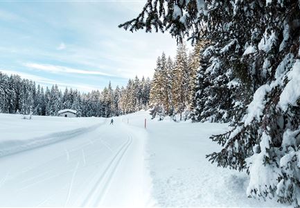
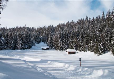
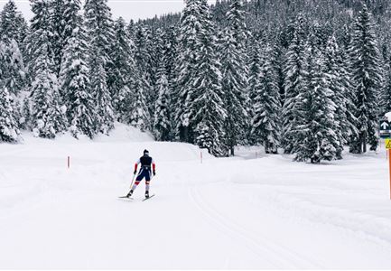
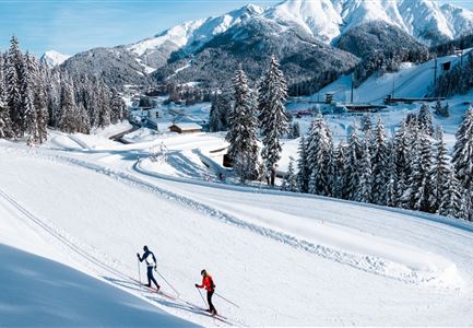
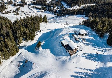
The challenging C7 Bichlwald trail starts either at the Gaistal parking lot or can be reached via A5 Obern. If you want to start from there, it's best to park at the Moos Rödlach parking lot. The trail passes through Bichlwald and offers sporty ascents as well as steep descents. The trail runs in both directions, so oncoming traffic is possible. For experienced cross-country skiers, it provides a challenging route with a connection to the B7 Panorama trail.
Note: Trail conditions may change throughout the day depending on weather. Please be aware that there may be icy sections or deep grooves. Adjust your skiing accordingly.

Connecting Trails:

A5 Obern and B7 Panorama
For a complete overview of the entire trail network (including trail status) and useful cross-country skiing information (ticket machines, waxing and service stations, changing facilities, etc.), check the trail report.

Features & Characteristics

Stamina

Technique

Start Point

Obern Leutasch

End Point

Gaistal Leutasch

Skating

Yes

Klassisch

Yes
Similar Tour Suggestions

Langlaufen in der Region Seefeld_zwei Langläufer auf C9 Plaik Loipe in Leutasch_Weitwinkelaufnahme mit Hohe Munde.jpg

Cross-country Skiing

C9 - Plaik

Length

8,70 km

Uphill

169 hm

Altitude

1224 hm

Difficulty

Hard

Closed
C8 Rauthgatter Loipe - Buchen

Cross-country Skiing

C8 - Rauthgatter

Length

1,50 km

Uphill

77 hm

Altitude

1340 hm

Difficulty

Hard

Closed
A3-C3-C4-C5 in Wildmoos

Cross-country Skiing

C5 - Kaserwald

Length

2,00 km

Uphill

45 hm

Altitude

1388 hm

Difficulty

Hard

Closed
Langlaufen auf der C11

Cross-country Skiing

C11 - Lottensee

Length

3,50 km

Uphill

80 hm

Altitude

1330 hm

Difficulty

Hard

Closed
C10-Mundeknie-Loipe---Leutasch

Cross-country Skiing

C10 – Mundeknie

Length

2,50 km

Uphill

84 hm

Altitude

1263 hm

Difficulty

Hard

Closed
Langlaufen - Langläufer im Wildmoos (c)xc ski holidays - Alex Moling (1).jpg

Cross-country Skiing

Wildmoos circuit (classic & skating)

Length

17,40 km

Uphill

330 hm

Altitude

1350 hm

Difficulty

Hard

Closed
Katzenkopfhuette Leutasch

Cross-country Skiing

Katzenkopf circuit (classic & skating)

Length

20,50 km

Uphill

175 hm

Altitude

1380 hm

Difficulty

Hard

Closed
Kaiser Maximilian Runde Seefeld

Cross-country Skiing

Adventure Run (classic & skating)

Length

53,50 km

Uphill

600 hm

Difficulty

Hard

Closed