Start Point

Leutasch - Obern

End Point

Obern Leutasch

Difficulty

Medium

Total Distance

2,40 km

Descent Meters

62 m

Highest Point

1220 m

Status

Closed

Map & Elevation Profile

Start Point

Leutasch - Obern

End Point

Obern Leutasch

Difficulty

Medium

Total Distance

2,40 km

Descent Meters

62 m

Highest Point

1220 m

Status

Closed

Cross-country Skiing

Best Time

Closed

Jan

Feb

Mar

Apr

May

Jun

Jul

Aug

Sep

Oct

Nov

Dec

Ski-nordic

Ski-nordic-classic

+1

Access to the ski track:

Obern Leutasch

Connected tracks:

A5 | C7

An overview of the entire cross-country skiing network (incl. trail status) and helpful cross-country skiing information (ticket machines, waxing and service points, changing facilities, ...) can be found in the cross-country skiing report.

Track characteristics:

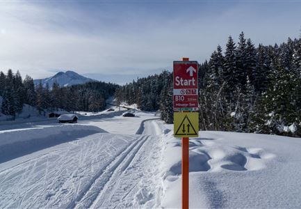
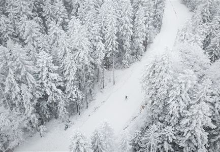
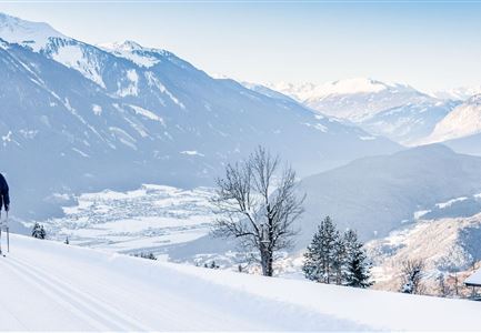
The ‘Panorama’ trail begins with a moderate climb before continuing through the forest to a beautifully scenic vantage point with views across Leutasch all the way to the Interalpen Hotel and the surrounding mountains, including the Wetterstein range, the Hohe Munde and the Ahrnplattenspitze. After the panorama viewpoint the trail, which is for only suitable for experienced, classic-style skiers, takes you through the forest and downhill to the starting point.

Information:

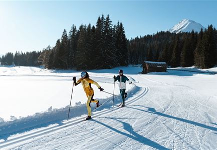
Classic-style only

Refreshment stops:

Tiroler Stub`n, Gasthof Gaistal

Public transport:

The fastest public connection to the start of the cross-country skiing trail can be found directly in our route planner. Take the regional/ski bus to the stop "Leutasch Obern GH Gaistal" (free bus use with guest card or cross-country skiing ticket). You can find all connections in real time with the Mobility-App "wegfinder".

Emergency call:

Tel.: 140

Features & Characteristics

Start Point

Leutasch - Obern

End Point

Obern Leutasch

Klassisch

Yes

Similar Tour Suggestions

B7 Klassisch.jpg

Cross-country Skiing

B9 - Triendlsäge

Length

3,00 km

Uphill

-120 hm

Altitude

1163 hm

Difficulty

Medium

Closed
B4 Loipeneinstieg Skatingzentrum Leutasch

Cross-country Skiing

B4 - Skatingzentrum

Length

1,20 km

Uphill

39 hm

Altitude

1205 hm

Difficulty

Medium

Closed
B13 Loipe - Moeserer See-Richtung Lottensee

Cross-country Skiing

B13 - Lottensee-Möserer See

Length

2,90 km

Uphill

97 hm

Altitude

1325 hm

Difficulty

Medium

Closed
Klassische Langlauf Spur

Cross-country Skiing

B6 - Interalpen Connection East

Length

500 m

Uphill

13 hm

Altitude

1342 hm

Difficulty

Medium

Closed
B12 Abzweigung B1-B12

Cross-country Skiing

B12 - Mösern Ortszentrum

Length

1,00 km

Uphill

23 hm

Altitude

1248 hm

Difficulty

Medium

Closed
B1-Loipe-Moesern

Cross-country Skiing

B1 - Mösern

Length

5,50 km

Uphill

110 hm

Altitude

1228 hm

Difficulty

Medium

Closed
LL B10 Moeserer See - Seefeld.jpg

Cross-country Skiing

B10 - Möserer See

Length

2,50 km

Uphill

96 hm

Altitude

1323 hm

Difficulty

Medium

Closed
Klassische Langlauf Spur

Cross-country Skiing

B8 - Interalpen Connection West

Length

400 m

Uphill

24 hm

Altitude

1342 hm

Difficulty

Medium

Closed