Start Point

Parking Lot P6 Hoher Sattel

End Point

Parking Lot P6 Hoher Sattel

Difficulty

Medium

Total Distance

10,60 km

Descent Meters

524 m

Ascent Meters

524 m

Highest Point

1620 m

Total Time

04:00 h

Map & Elevation Profile

Start Point

Parking Lot P6 Hoher Sattel

End Point

Parking Lot P6 Hoher Sattel

Difficulty

Medium

Total Distance

10,60 km

Descent Meters

524 m

Ascent Meters

524 m

Highest Point

1620 m

Total Time

04:00 h

Hiking

Best Time

Jan

Feb

Mar

Apr

May

Jun

Jul

Aug

Sep

Oct

Nov

Dec

Circular hike

Hiking tour

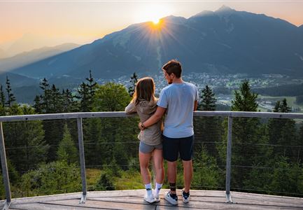
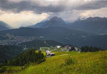
The hike starts in Ahrn and follows a well-maintained trail steadily uphill to the Hoher Sattel. The ascent winds through the forest, with occasional clearings that offer beautiful views of the surrounding landscape.

At the Hoher Sattel, a narrow path leads to the right, continuing to the Hohe Fluder, the highest point of the tour. After a short break, the trail gently descends towards Weidach, passing by the Kreithkapelle.

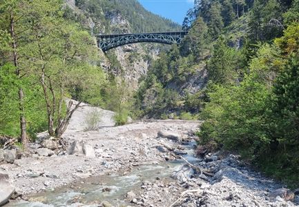
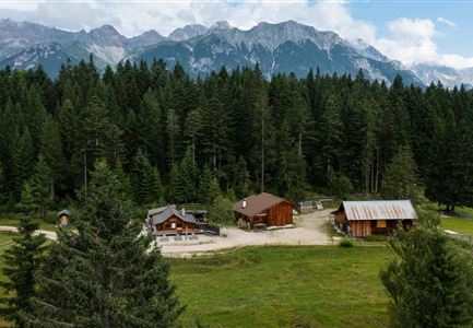
From the chapel, the route follows the road through Weidach until reaching the Weidach Bridge. There, the path turns right onto the Achweg, which runs peacefully along the Leutascher Ache, leading back to Ahrn.

Features & Characteristics

Start Point

Parking Lot P6 Hoher Sattel

End Point

Parking Lot P6 Hoher Sattel

Loop tour

Yes
Similar Tour Suggestions

Familien-Weitwanderung im Gaistal - Familie steht auf Terasse bei der Wettersteinhütte - Vater zeigt auf etwas.jpg

Hiking

Stage 1: To Wettersteinhütte or Wangalm – Leutasch 3-Day Hut Hike for Families

Length

4,70 km

Uphill

550 hm

Altitude

1716 hm

Difficulty

Medium

Durch die Gleirschklamm bei Scharnitz.jpg

Hiking

Circular hiking trail Gleirschklamm Gorge

Length

13,10 km

Duration

04:00 h

Uphill

416 hm

Downhill

410 hm

Altitude

1152 hm

Difficulty

Medium

Gravelbike - an der türkisblauen Isar.jpg

Hiking

Bike & Hike Halleranger house - Halleranger alm

Length

38,00 km

Duration

06:00 h

Uphill

832 hm

Altitude

1768 hm

Difficulty

Medium

Wanderung zur Wettersteinhütte im Sommer_Blick auf Wangalm bei Sonnenaufgangsstimmung_Weitwinkel.jpg

Hiking

Gaistal Valley Alpine Pasture Circular Hike

Length

10,50 km

Duration

04:15 h

Uphill

600 hm

Altitude

1759 hm

Difficulty

Medium

Gleirschklamm - Scharnitz (17).jpg

Hiking

Hike through the Gleirschklamm to the Möslalm

Length

21,20 km

Duration

06:30 h

Uphill

505 hm

Downhill

498 hm

Altitude

1261 hm

Difficulty

Medium

Hallerangeralm

Hiking

Bike & Hike Sunntigerspitze Summit, 2,321 m

Length

42,00 km

Duration

09:00 h

Uphill

1396 hm

Altitude

2321 hm

Difficulty

Medium

Familien-Weitwanderung im Gaistal - Vater und Sohn auf schmalem Weg durch grüne Wiese (1).jpg

Hiking

Stage 2: To Rotmoosalm – Leutasch 3-Day Hut Hike for Families

Length

5,00 km

Uphill

400 hm

Downhill

130 hm

Altitude

2132 hm

Difficulty

Medium

Bike Tour durchs Karwendeltal aufs Karwendelhaus - Scharnitz (13).jpg

Hiking

Bike & Hike Kristenalm

Length

25,00 km

Duration

04:00 h

Uphill

420 hm

Altitude

1249 hm

Difficulty

Medium