Start Point

Train station Gießenbach near Scharnitz

End Point

Train station Gießenbach near Scharnitz

Difficulty

Medium

Total Distance

12,40 km

Descent Meters

475 m

Ascent Meters

475 m

Highest Point

1459 m

Total Time

04:00 h

Map & Elevation Profile

Start Point

Train station Gießenbach near Scharnitz

End Point

Train station Gießenbach near Scharnitz

Difficulty

Medium

Total Distance

12,40 km

Descent Meters

475 m

Ascent Meters

475 m

Highest Point

1459 m

Total Time

04:00 h

Hiking

Best Time

Jan

Feb

Mar

Apr

May

Jun

Jul

Aug

Sep

Oct

Nov

Dec

Hiking tour

Hut hike

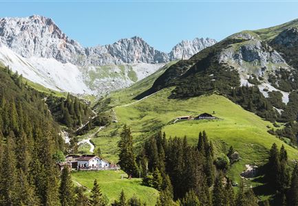
This hike takes you through the idyllic Gießenbach Valley to the Eppzirler Alm, combining stunning nature with a relaxing experience.

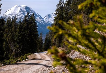
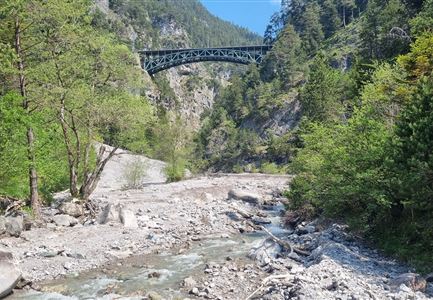
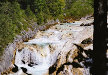
The hike starts at the small train station in Gießenbach near Scharnitz, or alternatively at the "Eppzirl" parking lot P5/P6. From here, the trail follows the river upstream through the picturesque Gießenbach Valley. The wide forest path starts off with a fairly steep incline but soon levels out, continuing gently alongside the crystal-clear mountain stream.

At a fork in the path, take the right turn. A short, steep ascent requires some extra effort here, but it is followed by a pleasant trail through shaded forest sections and across gentle alpine meadows, leading down to a small valley floor. The surroundings become increasingly open, and the peaceful landscape invites you to pause and take it all in.

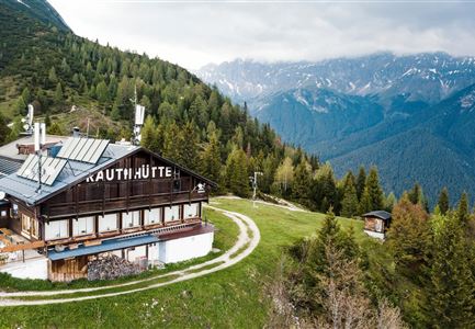
The final stretch to the Eppzirler Alm is a gentle uphill climb. Once there, you’ll be greeted by a magnificent view and the chance to rest or simply enjoy the serene environment. The return journey follows the same path back, offering another opportunity to fully appreciate the beauty of nature.

Features & Characteristics

Start Point

Train station Gießenbach near Scharnitz

End Point

Train station Gießenbach near Scharnitz

Videos

Similar Tour Suggestions

Durch die Gleirschklamm bei Scharnitz.jpg

Hiking

Circular hiking trail Gleirschklamm Gorge

Length

13,10 km

Duration

04:00 h

Uphill

416 hm

Downhill

410 hm

Altitude

1152 hm

Difficulty

Medium

Familien-Weitwanderung im Gaistal - Familie vor Hohe Munde - Alle lächeln.jpg

Hiking

Complete Route for the Leutasch 3-Day Hut Hike for Families

Length

16,20 km

Duration

10:00 h

Uphill

960 hm

Altitude

2132 hm

Difficulty

Medium

Pleisenhütte im Sommer - Scharnitz - quer.jpg

Hiking

Hike to the Pleisen alpine hut

Length

15,90 km

Duration

05:00 h

Uphill

780 hm

Downhill

774 hm

Altitude

1757 hm

Difficulty

Medium

Wandern am Brunschkopf

Hiking

Brunschkopf viewing platform via Wildmoosalm from Leutasch

Length

12,80 km

Duration

04:30 h

Uphill

441 hm

Downhill

438 hm

Altitude

1493 hm

Difficulty

Medium

Personen bei der Rotmoosalm im Sommer - auf der Terrasse (1).jpg

Hiking

Hike to the Rotmoosalm alpine hut

Length

9,00 km

Duration

05:30 h

Uphill

842 hm

Altitude

2037 hm

Difficulty

Medium

Brunnsteinhütte

Hiking

Hike to the Brunnsteinhütte

Length

10,00 km

Duration

04:30 h

Uphill

668 hm

Altitude

1523 hm

Difficulty

Medium

Blick vom Predigtstuhl auf das Steinerne Huettl im Gaistal

Hiking

Bike & Hike to the Steinernes Hüttl alpine hut

Length

19,80 km

Duration

06:00 h

Uphill

1004 hm

Downhill

44 hm

Altitude

2131 hm

Difficulty

Medium

Familien-Weitwanderung im Gaistal - Familie spielt Engelchen.jpg

Hiking

Stage 3: To Hämmermoosalm & Wrap Up – Leutasch 3-Day Hut Hike for Families

Length

6,50 km

Uphill

10 hm

Downhill

840 hm

Altitude

2132 hm

Difficulty

Medium