We use cookies for your personalized browsing experience, to personalize content and ads, to provide social media features, and to analyze traffic to our website. We also share information about your use of our website with our social media, advertising and analytics partners. Our partners may combine this information with other data that you have provided to them or that they have collected as part of your use of the Services. (incl. US providers)

Start Point

Leutasch parking Salzbach (P5)

End Point

Leutasch parking Salzbach (P5)

Difficulty

Medium

Total Distance

9,00 km

Descent Meters

842 m

Ascent Meters

842 m

Highest Point

2037 m

Total Time

05:30 h

Map & Elevation Profile

Start Point

Leutasch parking Salzbach (P5)

End Point

Leutasch parking Salzbach (P5)

Difficulty

Medium

Total Distance

9,00 km

Descent Meters

842 m

Ascent Meters

842 m

Highest Point

2037 m

Total Time

05:30 h

Hiking

Best Time

Jan

Feb

Mar

Apr

May

Jun

Jul

Aug

Sep

Oct

Nov

Dec

Hiking tour

Hut hikes

Route: parking lot Salzbach - Rotmoosalm

Parking facilities:

P3-5 "Salzbach parking lot"

Directions:

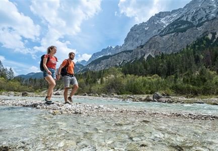
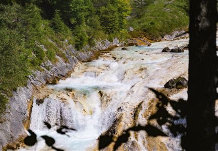
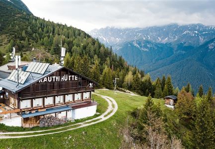
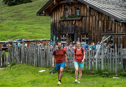
At the end of the parking lot Salzbach (P5) starts the path to the Riegele Steig (do not take the forest road to the left over the bridge). The beautiful trail leads partly steeply uphill along the Salzbach stream to the shepherd's hut. Here you will find a nice place to rest. From here, continue towards Schönberg and to the Rotmoosalm. Return along the same path.

Alpine emergency call:

Call: 140

Features & Characteristics

Start Point

Leutasch parking Salzbach (P5)

End Point

Leutasch parking Salzbach (P5)

Similar Tour Suggestions

Schlossbachklamm mit Bahnstrecke - Reith.jpg

Hiking

Hike through the Schlossbachklamm

Length

6,10 km

Duration

02:00 h

Uphill

107 hm

Downhill

299 hm

Altitude

1065 hm

Difficulty

Easy

Blick vom Predigtstuhl auf das Steinerne Huettl im Gaistal

Hiking

Bike & Hike to the Steinernes Hüttl alpine hut

Length

19,80 km

Duration

06:00 h

Uphill

1004 hm

Downhill

44 hm

Altitude

2131 hm

Difficulty

Medium

Hohe Gleirsch_2.jpg

Hiking

Bike & Hike Hoher Gleirsch Summit, 2,492 m

Length

31,00 km

Duration

09:30 h

Uphill

1772 hm

Altitude

2492 hm

Difficulty

Hard

Spaziergang an der Isar - Scharnitz (2).jpg

Hiking

Circular hiking trail to the Gleirschhöhe

Length

8,60 km

Duration

02:45 h

Uphill

212 hm

Altitude

1074 hm

Difficulty

Medium

Leutascher Geisterklamm - Wasserfallsteig (2).jpg

Hiking

Hike through the "Leutascher Geisterklamm" spirit gorge

Length

5,00 km

Duration

02:30 h

Uphill

200 hm

Altitude

1059 hm

Difficulty

Medium

Wildsee im Frühling bei Morgenstimmung - Drohnenaufnahme kleine Plattform am See.jpg

Hiking

Way of imperator Maximilian

Length

2,50 km

Duration

00:30 h

Uphill

3 hm

Altitude

1180 hm

Difficulty

Easy

Schausäge der Triendlsäge

Hiking

Circular walking path to the Inn Triendlsäge

Length

4,80 km

Duration

01:15 h

Uphill

101 hm

Altitude

1215 hm

Difficulty

Easy

Seefeld Reith 2022 Sommer Wanderung Noerdlinger Huette Reither Spitze Seefelder Spitze Seefelder Joch Panorama Hochplateau

Hiking

Circular hike to the Nördlinger Hütte alpine hut & Reither Spitze Summit, 2,374m

Length

9,10 km

Duration

07:30 h

Uphill

1161 hm

Altitude

2374 hm

Difficulty

Hard