Start Point

Naturpark Info Center Scharnitz (P2)

End Point

Naturpark Info Center Scharnitz (P2)

Difficulty

Easy

Total Distance

6,10 km

Descent Meters

42 m

Ascent Meters

42 m

Highest Point

1013 m

Total Time

01:30 h

Map & Elevation Profile

Start Point

Naturpark Info Center Scharnitz (P2)

End Point

Naturpark Info Center Scharnitz (P2)

Difficulty

Easy

Total Distance

6,10 km

Descent Meters

42 m

Ascent Meters

42 m

Highest Point

1013 m

Total Time

01:30 h

Hiking

Best Time

Jan

Feb

Mar

Apr

May

Jun

Jul

Aug

Sep

Oct

Nov

Dec

Hiking tour

Village walks

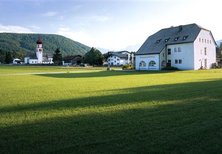
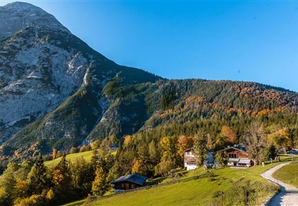
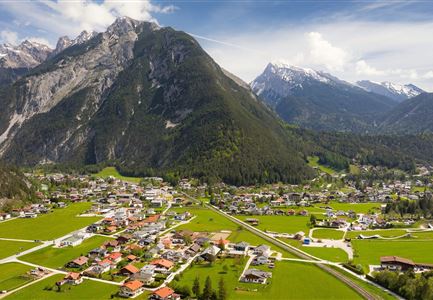
From the Nature Park Info Center in Scharnitz, the trail initially follows the Hinterautalstraße to the church in the village center. From there, it turns left and then immediately right onto the Hirlanda-Ellmann-Weg. This charming section is quiet and perfect for a relaxing stroll.

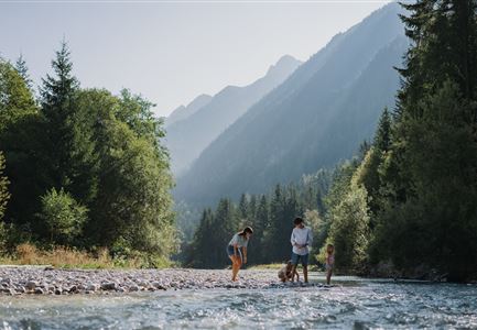
The path continues to the right and then quickly left before crossing a bridge. It then follows the gentle flow of the Gießenbach stream, mostly on a sunny trail surrounded by natural beauty. After crossing another bridge, the route turns left again and eventually reaches the Gießenbach district.

In Gießenbach, the Gasthof Ramona is located directly on the main road. After crossing the road, the trail continues left onto the Stuckweg. This peaceful path runs parallel to the railway line and leads back to Scharnitz, completing a delightful and scenic circular walk.

Features & Characteristics

Similar Tour Suggestions

Reith - Wanderung Frau Häusl Kapelle - Bank und Bildstock mit Aussicht ins Inntal.jpg

Hiking

Circular hike panoramic path

Length

6,70 km

Duration

02:15 h

Uphill

289 hm

Altitude

1306 hm

Difficulty

Easy

Schausäge der Triendlsäge

Hiking

Circular walking path to the Inn Triendlsäge

Length

4,80 km

Duration

01:15 h

Uphill

101 hm

Altitude

1215 hm

Difficulty

Easy

Leutascher Ache im Herbst - Drohnenaufnahme mit Weg neben dem Fluss.jpg

Hiking

Wheelchair Circular Hike Kirchplatzl-Achweg

Length

1,80 km

Duration

00:30 h

Uphill

10 hm

Altitude

1130 hm

Difficulty

Easy

Höhenweg Leutasch_Aussichtsplattform Höhenweg.jpg

Hiking

Circular hike to the viewing platform on the Höhenweg - Runst

Length

7,40 km

Duration

02:00 h

Uphill

128 hm

Altitude

1156 hm

Difficulty

Easy

Blick ueber Wildmoos nach Seefeld.jpg

Hiking

Circular tour around the Brunschkopf

Length

13,10 km

Duration

04:00 h

Uphill

275 hm

Downhill

272 hm

Altitude

1369 hm

Difficulty

Easy

Wildmoosalm im Sommer - Hütte mit Kuh.jpg

Hiking

Hike to the Wildmoosalm alpine hut

Length

5,80 km

Duration

01:45 h

Uphill

131 hm

Altitude

1305 hm

Difficulty

Easy

Dorfrundwanderung Leutasch im Sommer--2.jpg

Hiking

Village tour Weidachsee – Leutascher Ache

Length

5,00 km

Duration

01:30 h

Uphill

50 hm

Altitude

1160 hm

Difficulty

Easy

Partially open
Möserer See im Frühling - Paar läuft entlang des Seeweges.jpg

Hiking

Circular walking path from Seefeld to the lake Möserer See

Length

8,80 km

Duration

02:30 h

Uphill

231 hm

Altitude

1297 hm

Difficulty

Easy