We use cookies for your personalized browsing experience, to personalize content and ads, to provide social media features, and to analyze traffic to our website. We also share information about your use of our website with our social media, advertising and analytics partners. Our partners may combine this information with other data that you have provided to them or that they have collected as part of your use of the Services. (incl. US providers)

Start Point

ErlebnisWelt Alpenbad Leutasch

End Point

ErlebnisWelt Alpenbad Leutasch

Difficulty

Medium

Total Distance

30,00 km

Descent Meters

841 m

Ascent Meters

821 m

Highest Point

1499 m

Map & Elevation Profile

Start Point

ErlebnisWelt Alpenbad Leutasch

End Point

ErlebnisWelt Alpenbad Leutasch

Difficulty

Medium

Total Distance

30,00 km

Descent Meters

841 m

Ascent Meters

821 m

Highest Point

1499 m

Running

Best Time

Jan

Feb

Mar

Apr

May

Jun

Jul

Aug

Sep

Oct

Nov

Dec

Running

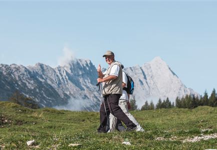
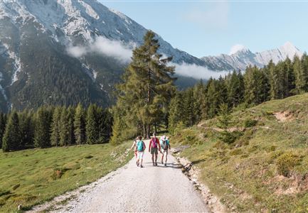
As well as the 10, 20 and 42km hikes on the first day of the IML 3-Day Unicorn Walk, there is the option of this 30km walk to the Leutascher Geisterklamm (‘Spirit Gorge’) and much further into Germany, returning via Scharnitz and through the Satteltal valley until it reaches the Leutasch valley once more. An exciting tour with plenty of variety and charm.


Features & Characteristics

Start Point

ErlebnisWelt Alpenbad Leutasch

End Point

ErlebnisWelt Alpenbad Leutasch

Similar Tour Suggestions

Brunschkopf Aussicht

Running

Brunschkopftrail track

Length

6,60 km

Uphill

257 hm

Downhill

250 hm

Altitude

1497 hm

Difficulty

Hard

Joggen - Symbolbild

Running

Leutascher Half Marathon

Length

21,00 km

Uphill

310 hm

Downhill

315 hm

Altitude

1191 hm

Difficulty

Hard

Partially open
IML.JPG

Running

IML Unicorn March Day 1: Achen Walk

Length

20,00 km

Uphill

315 hm

Altitude

1172 hm

Difficulty

Easy

Weidachsee

Running

Moosrunde track

Length

8,70 km

Uphill

104 hm

Downhill

100 hm

Altitude

1188 hm

Difficulty

Easy

Partially open
Ferienheim Wildmoos Panorama

Running

Steckenweg track

Length

16,60 km

Uphill

436 hm

Downhill

413 hm

Altitude

1372 hm

Difficulty

Hard

©stephanelsler2017

Running

IML Unicorn March Day 2: 20 km - Wildmoos Mountain Hike

Length

20,00 km

Uphill

479 hm

Downhill

482 hm

Altitude

1371 hm

Difficulty

Easy

Wangalm im Wettersteingebirge.jpg

Running

Mountainrun Gehrenspitze

Length

25,40 km

Uphill

1410 hm

Downhill

1430 hm

Altitude

2317 hm

Difficulty

Hard

Lottensee im Frühsommer - Drohnenaufnahme mit Lottenseehütte und Wettersteingebirge.jpg

Running

Circuit run around the Lottensee lake

Length

6,40 km

Uphill

123 hm

Downhill

126 hm

Altitude

1344 hm

Difficulty

Easy