Start Point

ErlebnisWelt Alpenbad Leutasch

End Point

ErlebnisWelt Alpenbad Leutasch

Difficulty

Easy

Total Distance

21,35 km

Descent Meters

519 m

Ascent Meters

324 m

Highest Point

1370 m

Total Time

06:30 h

Map & Elevation Profile

Start Point

ErlebnisWelt Alpenbad Leutasch

End Point

ErlebnisWelt Alpenbad Leutasch

Difficulty

Easy

Total Distance

21,35 km

Descent Meters

519 m

Ascent Meters

324 m

Highest Point

1370 m

Total Time

06:30 h

Running

Best Time

Jan

Feb

Mar

Apr

May

Jun

Jul

Aug

Sep

Oct

Nov

Dec

Attraction

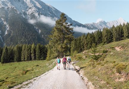
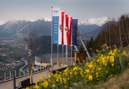
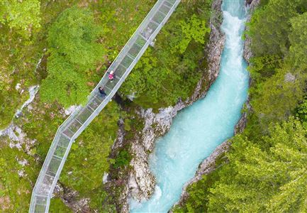
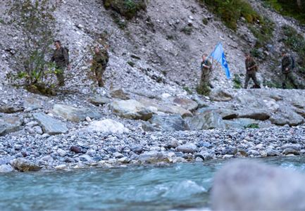
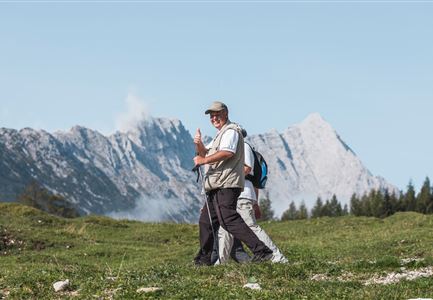
Day 2 of the 3-Day Unicorn March begins with a 21 km long hike through the Wildmoos. The route starts at ErlebnisWelt Alpenbad Leutasch and follows the Achweg trail to Unterweidach. It continues to Weidach, then goes through Neuleutasch to Seefeld. After passing through Seefeld's town center, the path leads to Pfarrbichl and then to the Toni Seelos ski jumps, where a lift is used to reach the mountain. The route then goes into Wildmoos and on to Katzenkopf. After a stop at the Katzenkopf hut, the lift takes the participants down to the valley station. The tour ends with the return to ErlebnisWelt Alpenbad Leutasch.

Features & Characteristics

Start Point

ErlebnisWelt Alpenbad Leutasch

End Point

ErlebnisWelt Alpenbad Leutasch

Similar Tour Suggestions

Teilnehmer vom Einhornmarsch auf einem Forstweg auf dem Weg nach Kirchplatzl mit Blick Richtung Kirche.jpg

Running

IML Unicorn March Day 3: 42 km - Gaistal Valley Hike

Length

42,00 km

Duration

10:00 h

Uphill

1102 hm

Downhill

1068 hm

Altitude

1417 hm

Difficulty

Easy

Familie vor dem Seekirchl im Sommer - 2.jpg

Hiking

Circular walk Seefeld to the Jumping hill

Length

2,00 km

Duration

00:30 h

Uphill

10 hm

Altitude

1195 hm

Difficulty

Easy

Friedensglocke im Herbst - Frau steht am Geländer und blickt ins Inntal beim Sonnenuntergang- Sonnenstern an der Glocke.jpg

Hiking

Peace Bell Hiking Trail

Length

4,60 km

Duration

01:30 h

Uphill

92 hm

Downhill

96 hm

Altitude

1292 hm

Difficulty

Easy

IML Teilnehmer bei Wald - Leutasch (1).jpg

Running

IML Unicorn March Day 3: 30 km - Gaistal Walk

Length

30,00 km

Duration

08:30 h

Uphill

778 hm

Downhill

765 hm

Altitude

1417 hm

Difficulty

Easy

IML Teilnehmer beim Wandern vor Berg - Leutasch (7).jpg

Running

IML Unicorn March Day 3: 20 km - Bichlwald Hike

Length

20,00 km

Duration

06:15 h

Uphill

534 hm

Downhill

510 hm

Altitude

1417 hm

Difficulty

Easy

Spaziergang mit Hund in Unterleutasch - Hund spricht ins Wasser an der Leutascher Ache.jpg

Hiking

Area for dogs (off-leash)

Length

1,50 km

Duration

00:30 h

Uphill

28 hm

Difficulty

Easy

Herbst am Möserer See - Frau am Ufer (Edit 2).jpg

Hiking

Circular walking path lake Möserer See & Kalvarienberg

Length

3,00 km

Duration

01:00 h

Uphill

78 hm

Downhill

82 hm

Altitude

1291 hm

Difficulty

Easy

Abendstimmung am Seekirchl in Seefeld im Sommer.jpg

Hiking

Circular walk in the Möserer valley

Length

3,10 km

Duration

00:45 h

Uphill

12 hm

Altitude

1196 hm

Difficulty

Easy