Start Point
Naturpark Info Center Scharnitz (P2)
End Point
Naturpark Info Center Scharnitz (P2)
Difficulty
Easy
Total Distance
8,60 km
Descent Meters
30 m
Ascent Meters
30 m
Highest Point
970 m
Total Time
02:00 h
Running
Best Time
Jan
Feb
Mar
Apr
May
Jun
Jul
Aug
Sep
Oct
Nov
Dec
Nordic walking
Running tracks
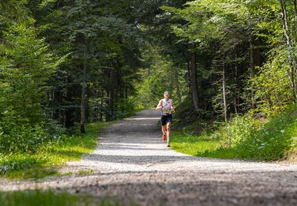
This easy running loop starts at the Scharnitz Nature Park Information Centre and initially follows the Isar Promenade to the Maria Hilf Parish Church. There, we cross the street, turn left immediately after the Isar Bridge, and continue along the promenade toward Mittenwald.
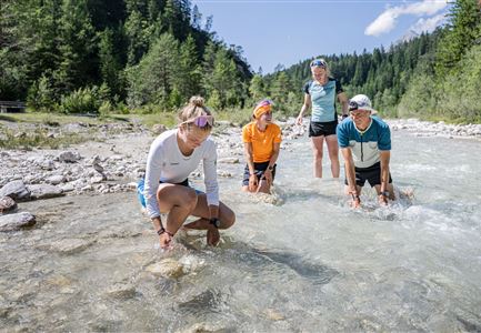
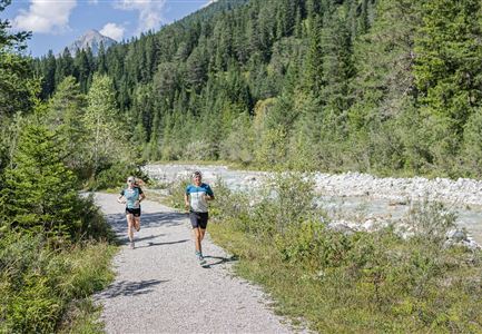
Along the way, we pass the kindergarten, the historic Porta Claudia fortress, and an underpass, before reaching the entrance to Riedboden via the wooden Isar Bridge. Past the paintball field and the Ried parking lot, we keep to the right, running alongside the Isar with direct river access and idyllic views.
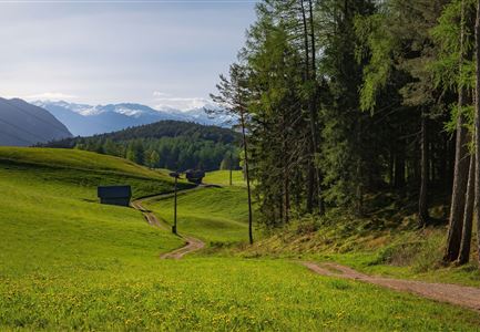
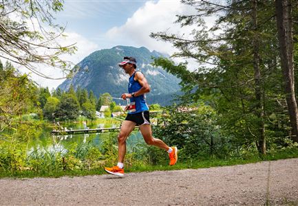
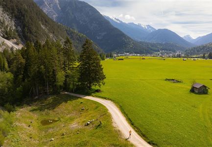
At a barn, we turn around and, on the return, take the opposite side of the path. We then pass by the former lead works and a small, picturesque pond. The route winds through expansive meadows and shady forests until we arrive back at our starting point.
The indicated running time is a guideline and depends on personal fitness.
Features & Characteristics
Stamina
Technique
Start Point
Naturpark Info Center Scharnitz (P2)
End Point
Naturpark Info Center Scharnitz (P2)
