Address & Contact

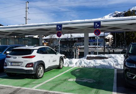
Parkplatz Ried P1

Town:

Nördl. Ortsausgang , 6108 Scharnitz

Parking lot & parking garage

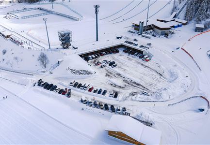
The paid parking lot "Ried" is one of the numerous parking spaces in Scharnitz, which offer an ideal starting point for hikes in the Karwendel valleys.

RATES

  • 3 hours                     €  3.-
  • 1/2 day (from 12:00 PM)  €  4.-
  • 1 day                           €  6.- 
  • up to 3 days                    € 12.-
  • up to 9 days                   € 18.-

NOTE: The parking meter does not provide change. Please bring the correct change! Payment by credit card is possible.
Connected Tours

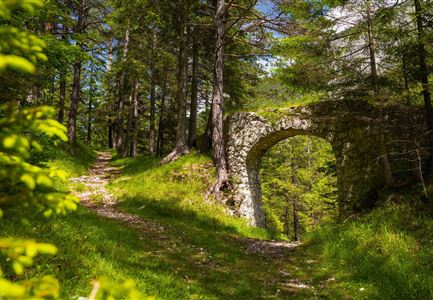
Porta Claudia Scharnitz - Tor mit Weg.jpg

Hiking

Rundwanderung Porta Claudia

Length

2,50 km

Duration

01:00 h

Uphill

125 hm

Downhill

120 hm

Altitude

1085 hm

Difficulty

Easy

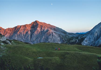
Sonnenaufgang im Karwendel_Speckkarspitze

Hiking

Bike & Hike Speckkarspitze, 2.621 m

Length

44,00 km

Duration

11:00 h

Uphill

1794 hm

Altitude

2621 hm

Difficulty

Hard

Brunnsteinspitze mit Gipfelkreuz - Scharnitz (4).jpg

Hiking

Bergtour zur Brunnsteinspitze, 2.180 m

Length

13,00 km

Duration

08:30 h

Uphill

1368 hm

Altitude

2180 hm

Difficulty

Hard

Hallerangeralm

Hiking

Bike & Hike Sunntigerspitze, 2.321 m

Length

42,00 km

Duration

09:00 h

Uphill

1396 hm

Altitude

2321 hm

Difficulty

Medium

Hohe Gleirsch_2.jpg

Hiking

Bike & Hike Hoher Gleirsch, 2.492 m

Length

31,00 km

Duration

09:30 h

Uphill

1772 hm

Altitude

2492 hm

Difficulty

Hard

Gravelbiken in der Region Seefeld (3).jpg

Cycling

Radwanderroute: Scharnitz - Seefeld - Reith

Length

18,50 km

Duration

01:45 h

Uphill

320 hm

Downhill

140 hm

Altitude

1200 hm

Difficulty

Easy

Gravelbiker auf dem Radweg zwischen Mittenwald und Scharnitz im Sommer

Cycling

Biketour Scharnitz - Mittenwald (Bayern) - Scharnitz

Length

15,10 km

Duration

01:45 h

Uphill

48 hm

Downhill

52 hm

Altitude

963 hm

Difficulty

Easy

Bike Tour durchs Karwendeltal aufs Karwendelhaus - Scharnitz (13).jpg

Hiking

Bike & Hike Kristenalm

Length

25,00 km

Duration

04:00 h

Uphill

420 hm

Altitude

1249 hm

Difficulty

Medium

Gipfel Grosse Arnspitze - Scharnitz

Hiking

Bergtour zur Großen Arnspitze, 2.196 m

Length

9,00 km

Duration

07:30 h

Uphill

1247 hm

Altitude

2196 hm

Difficulty

Hard

Wanderung-auf-die-Birkkarspitze

Hiking

Bike & Hike Birkkarspitze, 2.749 m

Length

41,00 km

Duration

09:00 h

Uphill

1800 hm

Altitude

2749 hm

Difficulty

Hard

Scharnitz - Wanderung Dorfrunde - Kirche in Scharnitz.jpg

Hiking

Kulturwanderweg Scharnitz

Length

3,00 km

Duration

01:00 h

Uphill

53 hm

Altitude

1005 hm

Difficulty

Easy

Gravelbike - an der türkisblauen Isar.jpg

Hiking

Bike & Hike Hallerangerhaus-Hallerangeralm

Length

38,00 km

Duration

06:00 h

Uphill

832 hm

Altitude

1768 hm

Difficulty

Medium

Brunnsteinhütte

Hiking

Wanderung zur Brunnsteinhütte

Length

10,00 km

Duration

04:30 h

Uphill

668 hm

Altitude

1523 hm

Difficulty

Medium

Similar Infrastructures