Start Point

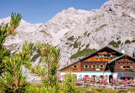
Solsteinhaus

End Point

Pfeishütte

Difficulty

Hard

Total Distance

16,5 km

Descent Meters

1150 m

Ascent Meters

1400 m

Highest Point

2314 m

Total Time

09:00 h

Start Point

Solsteinhaus

End Point

Pfeishütte

Difficulty

Hard

Total Distance

16,5 km

Descent Meters

1150 m

Ascent Meters

1400 m

Highest Point

2314 m

Total Time

09:00 h

Hiking

Best Time

Jan

Feb

Mar

Apr

May

Jun

Jul

Aug

Sep

Oct

Nov

Dec

Long distance trails

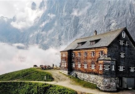
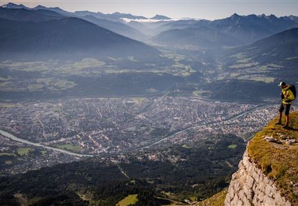
Route: Solsteinhaus - "Hippen" - Frau Hitt Sattel - Restaurant Seegrube - Hafelekarhaus - Goetheweg trail - Mühlkarscharte gap - Mandlscharte gap - Pfeishütte

Directions:

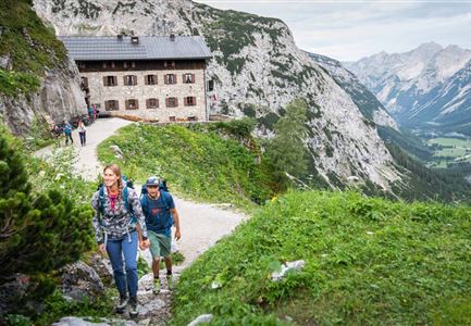
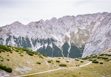
When you leave the Solsteinhaus, take trail 213 down towards the Möslalm pasture. When the trail forks at the ‘Wilde Iss’, take the Gipfelstürmerweg trail (215) eastwards and head past the Wilde-Iss-Jagdhütte hut. The trail snakes along a green ridge featuring trees and mountain pines as it leads you up to the ‘Hippen’ peak. After a brief descent, you are then faced with a very steep ascent along passages secured with ropes that bring you to the Frau Hitt ridge. This is located to the west of the prominent Frau Hitt rock needle. CAUTION: even in early summer, the Frau Hitt cirque may feature a very large amount of old snow that remains icy into the morning (risk of falling: Snowline Spikes and sticks provide optimum protection). Legend has it that the rock needle represents a woman on a horse. The descent from the Frau Hitt ridge starts out very steep and subsequently follows the Schmidhubersteig trail, crossing picturesque mountain pastures on the way to the Seegrube restaurant (1906 m). After a refreshing break at

Read More...

Recommended Equipment

knöchelhohe Bergschuhe, Grödel, Teleskopstöcke, ausreichend Wasser

Features & Characteristics

Start Point

Solsteinhaus

End Point

Pfeishütte

Map & Elevation Profile

Similar Tour Suggestions

Hiking

Karwendel Hight Trail (Trail 6): Hallerangerhaus - Scharnitz

Length

19,3 km

Duration

05:30 h

Uphill

30 hm

Downhill

835 hm

Altitude

1768 hm

Difficulty

Medium

Hiking

Circular hiking trail Wildmoos-Hochmoos

Length

10,0 km

Duration

04:00 h

Uphill

437 hm

Altitude

1544 hm

Difficulty

Medium

Hiking

Circular hike Arnplattenspitze, 2,171 m

Length

8,6 km

Duration

07:00 h

Uphill

1106 hm

Altitude

2171 hm

Difficulty

Hard

Hiking

Jakosbsweg Etappe 11: Mittenwald-Leutasch

Length

15,0 km

Duration

04:30 h

Uphill

400 hm

Altitude

1110 hm

Difficulty

Easy

Hiking

Hike Hohe Munde Summit, 2.592 m

Length

11,3 km

Duration

09:00 h

Uphill

1410 hm

Altitude

2562 hm

Difficulty

Hard

Hiking

Eagle Walk Stage 09: Lamsenjoch Hut - Falken Hut

Length

12,5 km

Duration

04:30 h

Uphill

810 hm

Downhill

920 hm

Altitude

1960 hm

Difficulty

Medium

Hiking

High Pasture alpine hut hike above the Gaistal Valley

Length

24,2 km

Duration

09:45 h

Uphill

1261 hm

Altitude

2132 hm

Difficulty

Medium

Hiking

Bike & Hike Hoher Gleirsch Summit, 2,492 m

Length

31,0 km

Duration

10:00 h

Uphill

1740 hm

Altitude

2492 hm

Difficulty

Hard