Start Point
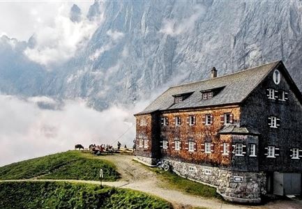
Nördlinger Hütte
End Point
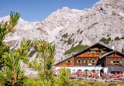
Solsteinhaus
Difficulty
Hard
Total Distance
6,70 km
Descent Meters
370 m
Ascent Meters
795 m
Highest Point
2239 m
Total Time
04:00 h
Hiking
Best Time
Jan
Feb
Mar
Apr
May
Jun
Jul
Aug
Sep
Oct
Nov
Dec
Long distance trails
Multiday hike
Important information: Construction work at the Nördlinger Hütte
Due to major renovation work, the Nördlinger Hütte will be closed from September 2026 until the start of the 2028 season.
During this period, the hut will be completely unstaffed – no overnight stays and no food service will be available.
Last overnight stay: 16 August 2026
Last day of day service: 30 August 2026
The Karwendel Höhenweg remains open and passable, but route adjustments are required.
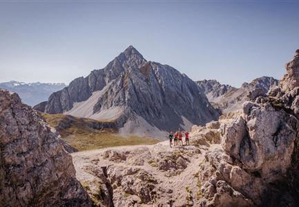
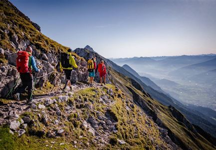
At the beginning of the second stage of the Karwendel High Trail, you start from the Nördlingerhütte heading east. Soon, the path turns north below the eastern cliffs of the Reither Spitze, and later follows an eastern route again toward the Ursprungsattel (2087 m). Here, you do not head in the direction of the Freiungstürme mountains but instead keep to the trail as it descends towards the north-east. At the Breiter Sattel ridge (1794 m), you branch off to the right on trail 74 in the direction of the Eppzirler Scharte gap. After crossing the large field of scree at the Kuhljoch and making a somewhat winding ascent, you will come to the Eppzirler Scharte gap (2102 m). From here, you embark on
Features & Characteristics
Stamina
Technique
Refreshment stops
Start Point
Nördlinger Hütte
End Point
Solsteinhaus
Multiday hike
Yes
Multi-Day Tour Feature
Etappe
