Start Point
Scharnitz Karwendelhaus
End Point
Scharnitz Hallerangerhaus
Difficulty
Hard
Total Distance
14,00 km
Descent Meters
1440 m
Highest Point
2750 m
Total Time
08:30 h
Hiking
Best Time
Jan
Feb
Mar
Apr
May
Jun
Jul
Aug
Sep
Oct
Nov
Dec
Long distance trails
Multiday hike
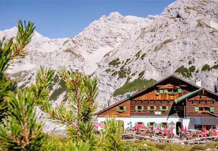
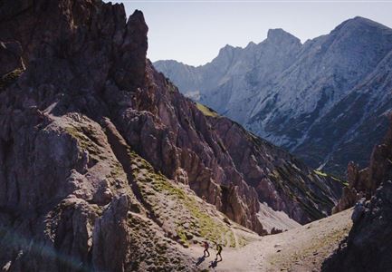
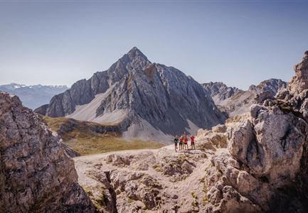
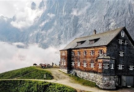
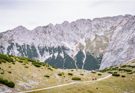
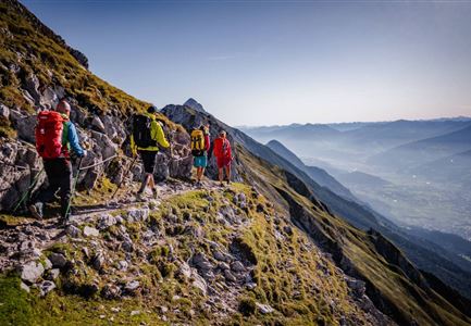
Next to the Karwendelhaus begins the marked trail to the Birkkarspitze, which is initially quite steep and in places rope-secured in the rocky terrain through mountain pines and avalanche barriers up. Somewhat less steep, the route then heads in a southeasterly direction into the seemingly endless Schlauchkar. The route leads past the junction to the Hochalmkreuz (left) and the junction to the Brendelsteig (right). Here you keep the direction and climb somewhat laboriously - partly in rocky terrain and in unpleasant scree - up through the cirque. The cairns also provide orientation here. The path becomes increasingly steep, the last section to the Schlauchkar saddle runs in a southwesterly direction. In this area you have to cross a hard snow field most of the time, it is best to follow the footprints. From the Schlauchkar saddle (2,639 meters) then past the Birkkarhütte (emergency shelter) and over the rope-secured climb in easy scrambling along the west ridge over to the summit of the Birkkarspitze (2,749 meters) with the cross. From the summit back to the Schlauchkar saddle and down to the south. First, the route descends steeply through boulders, in places secured by ropes, into the western Birkkar.
Features & Characteristics
Stamina
Technique
Start Point
Scharnitz Karwendelhaus
End Point
Scharnitz Hallerangerhaus
Multiday hike
Yes
Multi-Day Tour Feature
Etappe
