Start Point

ErlebnisWelt Alpenbad Leutasch

End Point

ErlebnisWelt Alpenbad Leutasch
Difficulty

Easy

Total Distance

13,00 km

Descent Meters

480 m

Ascent Meters

480 m

Highest Point

1550 m

Total Time

04:30 h

Map & Elevation Profile

Start Point

ErlebnisWelt Alpenbad Leutasch

End Point

ErlebnisWelt Alpenbad Leutasch
Difficulty

Easy

Total Distance

13,00 km

Descent Meters

480 m

Ascent Meters

480 m

Highest Point

1550 m

Total Time

04:30 h

Running

Best Time

Jan

Feb

Mar

Apr

May

Jun

Jul

Aug

Sep

Oct

Nov

Dec

Trailrunning

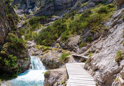
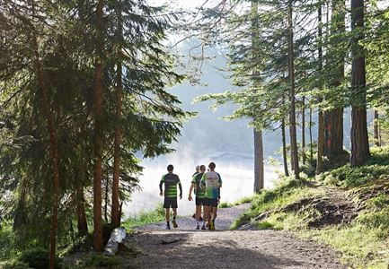
The route starts at Alpenbad Leutasch, following the Leutascher Ache upstream until the Achweg junction. Here, take a left turn, followed by a short right curve onto a gravel path.

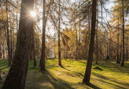
After about 3 kilometers, the first ascent begins at Buchener Straße, continuing on a gravel path. Shortly before reaching the highest point, the route transitions into a forest trail, leading slightly downhill towards the Katzenkopfhütte.

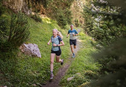
From the Katzenkopfhütte, the trail turns left onto the Wurzelsteig—a narrow, technically demanding path with numerous roots—before reaching a forest road. Here, take a right turn, then follow the path downhill back to the starting point.

This loop combines runnable gravel paths with more challenging forest trails, offering an exciting technical section on the Wurzelsteig.

The indicated running time is a guideline and depends on personal fitness.

Features & Characteristics

Similar Tour Suggestions

Steg zum Wandern entlang der Gleirschklamm.jpg

Running

Trail Run Loop Isarsteig & Gleierschklamm

Length

12,40 km

Duration

04:00 h

Uphill

445 hm

Altitude

1250 hm

Difficulty

Easy

Drohnenaufnahme Gaistal im Sommer - Sonnenaufgang Predigtstuhl - Blick Richtung Gehrenspitze.jpg

Running

Wetterstein Trail Run Loop

Length

25,00 km

Duration

10:30 h

Uphill

1490 hm

Altitude

2230 hm

Difficulty

Hard

Karwendelmarsch Trainingscamp (5) (2).jpg

Running

Karwendel Run 52 km (Karwendelmarsch)

Length

52,00 km

Duration

06:00 h

Uphill

2158 hm

Downhill

2192 hm

Altitude

1900 hm

Difficulty

Hard

Trailrunning auf der Seefelder Spitze - Läufer rennt im Sonnenuntergang.jpg

Running

Leutasch Trail (Salomon Zugspitz Ultratrail)

Length

68,00 km

Duration

16:00 h

Uphill

2870 hm

Downhill

3370 hm

Altitude

2049 hm

Difficulty

Hard

Nordic Summer Camp 2021 - Laeufer bei Laufrunde um den Moeserer See.jpg

Running

Trail Run Loop Möserer See

Length

9,20 km

Duration

02:00 h

Uphill

320 hm

Altitude

1500 hm

Difficulty

Easy

Brunschkopf während der Goldenen Stunde.jpg

Running

Brunschkopf Trailrun Route

Length

11,80 km

Duration

02:30 h

Uphill

334 hm

Downhill

330 hm

Altitude

1499 hm

Difficulty

Medium

Gehrenspitze und Gipfelkreuz beim Sonnenaufgang - Panoramaaufnahme.jpg

Running

Gehrenspitze Trailrun Route

Length

25,40 km

Duration

09:00 h

Uphill

1410 hm

Downhill

1430 hm

Altitude

2317 hm

Difficulty

Hard

Trailrunning in der Region Seefeld - Läuferinnen auf Trail bergauf - Leutasch.jpg

Running

Gaistal Trailrun loop to Hämmermoosalm, Wettersteinhütte, and Wangalm

Length

10,30 km

Duration

04:00 h

Uphill

520 hm

Altitude

1721 hm

Difficulty

Easy