Start Point

Seefeld Seekirchl

End Point

Seefeld Seekirchl
Difficulty

Easy

Total Distance

10,30 km

Descent Meters

343 m

Ascent Meters

332 m

Highest Point

1334 m

Total Time

02:00 h

Status

Partially open

Map & Elevation Profile

Start Point

Seefeld Seekirchl

End Point

Seefeld Seekirchl
Difficulty

Easy

Total Distance

10,30 km

Descent Meters

343 m

Ascent Meters

332 m

Highest Point

1334 m

Total Time

02:00 h

Status

Partially open

Running

Best Time

Partially open

Jan

Feb

Mar

Apr

May

Jun

Jul

Aug

Sep

Oct

Nov

Dec

Trailrunning

Attention: The access road to Gschwandtkopf from Reith is closed for one week due to forestry work.

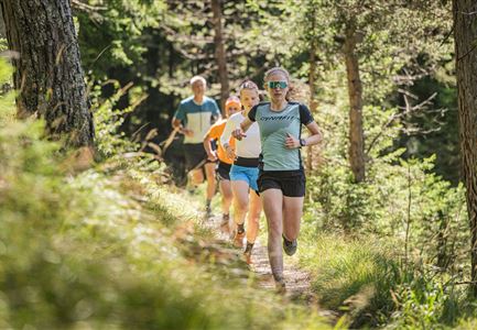
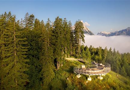
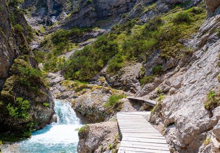
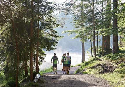
We start at the Seefeld Seekirchl and run up a small forest path to the Pfarrerbichl (parish hill). From here, we enjoy a lovely view of the Wildsee and the rooftops of Seefeld.

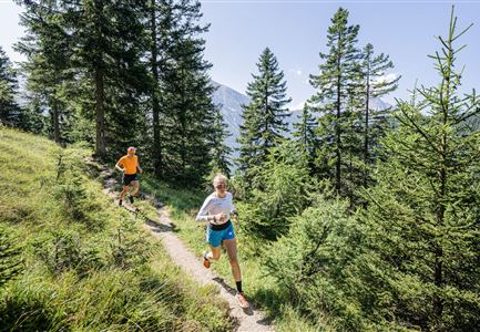
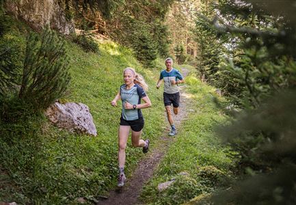
Down the steps we head to the lake, and follow the lakeside trail until Auland. There, we take the path to the Enzianhütte before rounding the Gschwandtkopf through quiet woodland.

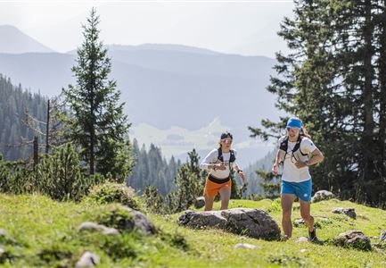
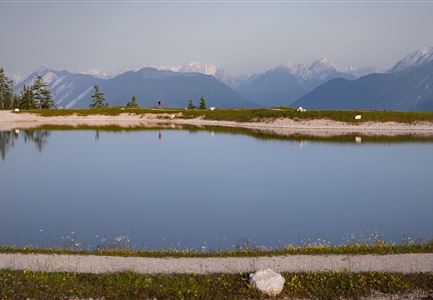
At the highest point of the route, we are treated to an impressive view of Reith, the Wipptal, and the Zillertal glaciers. Then, the route continues gently through the fields of the Möserertal.

Finally, we return to Seefeld – a varied and beautiful loop through nature.

The indicated running time is just a guideline and depends on your personal fitness level.

Features & Characteristics

Similar Tour Suggestions

Trailrunning in der Region Seefeld - Läuferin auf dem Südwandsteig bergab.jpg

Running

Gaistal-Rotmoosalm Trail Run Loop

Length

15,00 km

Duration

06:30 h

Uphill

970 hm

Altitude

2133 hm

Difficulty

Medium

Brunschkopf während der Goldenen Stunde.jpg

Running

Brunschkopf Trailrun Route

Length

11,80 km

Duration

02:30 h

Uphill

334 hm

Downhill

330 hm

Altitude

1499 hm

Difficulty

Medium

Trailrunning in der Region Seefeld - Trail durch den Wald.jpg

Running

Trailrun Route around the Hochleithenkopf

Length

16,50 km

Duration

06:00 h

Uphill

760 hm

Altitude

1249 hm

Difficulty

Easy

Partially open
Trailrunning in der Region Seefeld - Läuferinnen auf Trail im Wald - Gaistal.jpg

Running

Steckenweg Trailrun-Route

Length

13,00 km

Duration

04:30 h

Uphill

480 hm

Altitude

1550 hm

Difficulty

Easy

Gehrenspitze und Gipfelkreuz beim Sonnenaufgang - Panoramaaufnahme.jpg

Running

Gehrenspitze Trailrun Route

Length

25,40 km

Duration

09:00 h

Uphill

1410 hm

Downhill

1430 hm

Altitude

2317 hm

Difficulty

Hard

Trailrunning in der Region Seefeld - Läuferinnen auf Trail bergauf - Leutasch.jpg

Running

Gaistal Trailrun loop to Hämmermoosalm, Wettersteinhütte, and Wangalm

Length

10,30 km

Duration

04:00 h

Uphill

520 hm

Altitude

1721 hm

Difficulty

Easy

Trailrunning in der Region Seefeld - Gruppe auf Trail im Wald.jpg

Running

Trail Run Loop Alter Möserer Weg

Length

8,00 km

Duration

03:00 h

Uphill

470 hm

Altitude

1230 hm

Difficulty

Easy

Steg zum Wandern entlang der Gleirschklamm.jpg

Running

Trail Run Loop Isarsteig & Gleierschklamm

Length

12,40 km

Duration

04:00 h

Uphill

445 hm

Altitude

1250 hm

Difficulty

Easy