Start Point

Parking at the P3 Lake Möserer See
End Point

Parking at the P3 Lake Möserer See
Difficulty

Easy

Total Distance

9,20 km

Descent Meters

320 m

Ascent Meters

320 m

Highest Point

1500 m

Total Time

02:00 h

Map & Elevation Profile

Start Point

Parking at the P3 Lake Möserer See
End Point

Parking at the P3 Lake Möserer See
Difficulty

Easy

Total Distance

9,20 km

Descent Meters

320 m

Ascent Meters

320 m

Highest Point

1500 m

Total Time

02:00 h

Running

Best Time

Jan

Feb

Mar

Apr

May

Jun

Jul

Aug

Sep

Oct

Nov

Dec

Trailrunning

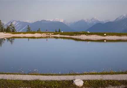
The route starts at the Möserer See parking lot, following a gravel path before turning left onto the narrow Brochweg. Shortly after, the trail passes the Peace Bell of Mösern, one of the largest free-standing bells in the Alps. From here, a spectacular view opens up over the Inn Valley and the surrounding mountain peaks. As a symbol of peace, the bell rings daily at 17.00, creating a special moment of reflection and tranquility.

The trail then descends gently towards Lottensee, before gradually ascending to the Lottenseehütte. Lottensee is a periodic lake, meaning it appears irregularly and may not have water in certain years.

From the Lottenseehütte, the route continues along the Lentschenauweg, a forest road leading to Wildmoossee, another periodic lake that does not appear every year.

Here, the trail takes a sharp right turn onto a steep forest path, climbing towards Brunschkopf. At a trail junction, the route descends to the right, leading back to Möserer See and the starting point.

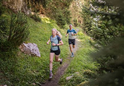
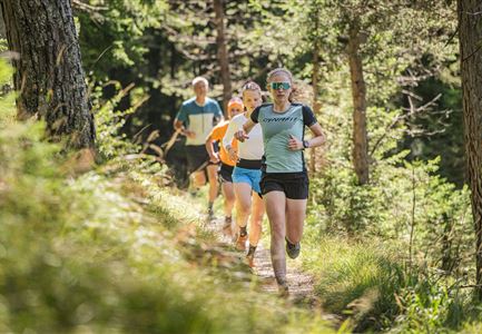
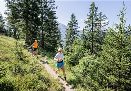
This loop offers a diverse mix of forest and natural trails, as well as an exciting downhill section for trail runners.

The indicated running time

Features & Characteristics

Start Point

Parking at the P3 Lake Möserer See
End Point

Parking at the P3 Lake Möserer See
Similar Tour Suggestions

Trailrunning in der Region Seefeld - Trail durch den Wald.jpg

Running

Trailrun Route around the Hochleithenkopf

Length

16,50 km

Duration

06:00 h

Uphill

760 hm

Altitude

1249 hm

Difficulty

Easy

Trailrunning in der Region Seefeld - Läuferinnen auf Trail im Wald - Gaistal.jpg

Running

Steckenweg Trailrun-Route

Length

13,00 km

Duration

04:30 h

Uphill

480 hm

Altitude

1550 hm

Difficulty

Easy

Partially open
Trailrunning in der Region Seefeld - Läuferinnen auf Trail bergauf - Leutasch.jpg

Running

Gaistal Trailrun loop to Hämmermoosalm, Wettersteinhütte, and Wangalm

Length

10,30 km

Duration

04:00 h

Uphill

520 hm

Altitude

1721 hm

Difficulty

Easy

Steg zum Wandern entlang der Gleirschklamm.jpg

Running

Trail Run Loop Isarsteig & Gleirschklamm

Length

12,40 km

Duration

04:00 h

Uphill

445 hm

Altitude

1250 hm

Difficulty

Easy

Trailrunning in der Region Seefeld - Gruppe auf Trail im Wald.jpg

Running

Trail Run Loop Alter Möserer Weg

Length

8,00 km

Duration

03:00 h

Uphill

470 hm

Altitude

1230 hm

Difficulty

Easy

Lärchenwald bei Reith_Wald mit Sonnenstern.jpg

Running

Around the Gschwandtkopf Trailrun Route

Length

10,30 km

Duration

02:00 h

Uphill

343 hm

Downhill

332 hm

Altitude

1334 hm

Difficulty

Easy

Gschwandtkopf Speichersee - Trailrunner in der Distanz läuft entlang des Sees bei Sonnenaufgangsstimmung.jpg

Running

Gschwandtkopf Trailrun Route

Length

9,80 km

Duration

03:30 h

Uphill

430 hm

Altitude

1486 hm

Difficulty

Easy

Brunschkopf während der Goldenen Stunde.jpg

Running

Brunschkopf Trailrun Route

Length

11,80 km

Duration

02:30 h

Uphill

334 hm

Downhill

330 hm

Altitude

1499 hm

Difficulty

Easy