Start Point

Parking lot P6 Maxhütte – Reith by Seefeld

End Point

Parking lot P6 Maxhütte – Reith by Seefeld

Difficulty

Medium

Total Distance

7,20 km

Descent Meters

310 m

Ascent Meters

310 m

Highest Point

1500 m

Total Time

03:00 h

Status

Open

Map & Elevation Profile

Start Point

Parking lot P6 Maxhütte – Reith by Seefeld

End Point

Parking lot P6 Maxhütte – Reith by Seefeld

Difficulty

Medium

Total Distance

7,20 km

Descent Meters

310 m

Ascent Meters

310 m

Highest Point

1500 m

Total Time

03:00 h

Status

Open

Hiking

Best Time

Open

Jan

Feb

Mar

Apr

May

Jun

Jul

Aug

Sep

Oct

Nov

Dec

Winter walking

Hut Winter Hikes

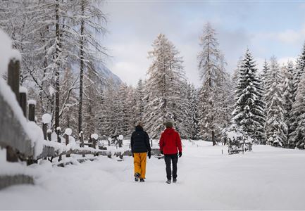
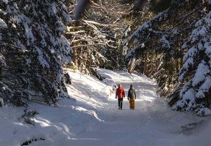
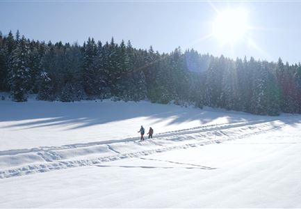
This is a cleared winter hiking trail. However, icy or slippery spots may still occur.

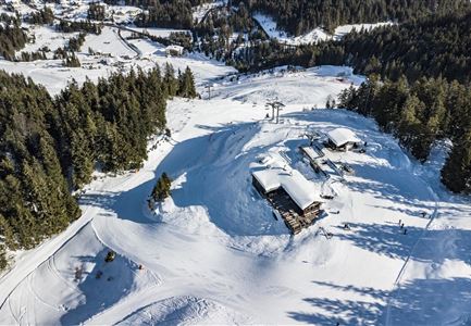
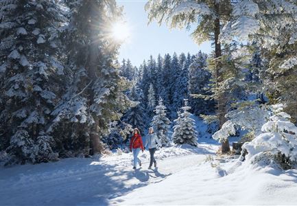
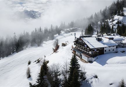
A scenic winter hike with a peaceful forest atmosphere and a cozy stop along the way: The tour starts at the P6 Maxhütte car park in Reith near Seefeld and follows a marked trail (No. 83 and No. 10) up to the Reitherjoch Alm. The hut is located in the Rosshütte ski area and is a popular destination for winter hikers and skiers in winter. The steady ascent leads along a well-maintained forest path and offers occasional views of the surrounding mountains.

At the top, the Reitherjoch Alm invites you to take a break – the perfect place to warm up with Tyrolean specialties before returning along the same route to the starting point.

Features & Characteristics

Stamina

Technique

Start Point

Parking lot P6 Maxhütte – Reith by Seefeld

End Point

Parking lot P6 Maxhütte – Reith by Seefeld

Loop tour

Yes
Similar Tour Suggestions

Winterwandern-am-Wildmoos-Plateau-(1)_WaLogo.jpg

Hiking

W1: Winter Circular Hike Seefeld-Mösern-Wildmoos

Length

13,00 km

Duration

03:30 h

Uphill

247 hm

Altitude

1333 hm

Difficulty

Medium

Open
Katzenkopfhütte Winter

Hiking

Stage 1: Extension to Katzenkopf (2.9 km) – Tyrol’s 1. Winter Multi-day Hike

Length

2,90 km

Duration

01:15 h

Uphill

245 hm

Altitude

1360 hm

Difficulty

Medium

Open
Winterwandern Paar Möserer See Paar läuft durch Wald Aufnahme von hinten (2).jpg

Hiking

W3: Winter Circular Hike Seefeld-Mösern-Seefeld

Length

7,80 km

Duration

02:30 h

Uphill

183 hm

Downhill

179 hm

Altitude

1374 hm

Difficulty

Medium

Open
Winterwandern Paar Oberer Wiesenweg Aufnahme von Paar von Hinten laufen neben Zaun (1).jpg

Hiking

Stage 4: From Wettersteinhütte to Leutasch – Tyrol’s 1. Winter Multi-day Hike

Length

9,50 km

Duration

03:30 h

Uphill

25 hm

Altitude

1717 hm

Difficulty

Medium

Open
Weitwandern Etappe 1 Teilnehmer bei Bach (1).jpg

Hiking

Stage 1: From Schanz to Weidach – Tyrol’s 1. Winter Multi-day Hike

Length

14,20 km

Duration

03:30 h

Uphill

140 hm

Downhill

58 hm

Altitude

1162 hm

Difficulty

Medium

Open
Drohnenaufnahme Reith im Winter - Ortszentrum mit Kirche und Reither Spitze im Hintergrund.jpg

Hiking

W33: Winter circular hike Hölltal

Length

5,00 km

Duration

02:00 h

Uphill

192 hm

Downhill

186 hm

Altitude

1303 hm

Difficulty

Medium

Open
Drohnenaufnahme Rauthhütte - Hütte von der Seite mit nebeligem Inntal.jpg

Hiking

W13: Winter Hike to the Rauthhütte

Length

5,00 km

Duration

03:00 h

Uphill

424 hm

Downhill

418 hm

Altitude

1602 hm

Difficulty

Medium

Open
Drohnenbild Gschwandtkopf und Schanze bei Sonneaufgang.jpg

Hiking

W2: Winter Circular Hike around the mountain Gschwandtkopf

Length

10,50 km

Duration

03:30 h

Uphill

226 hm

Downhill

222 hm

Altitude

1342 hm

Difficulty

Medium

Open