Start Point

Leutasch Wettersteinhütte

End Point

Leutasch information office

Difficulty

Medium

Total Distance

48,00 km

Descent Meters

1000 m

Ascent Meters

660 m

Highest Point

1400 m

Status

Open

Map & Elevation Profile

Start Point

Leutasch Wettersteinhütte

End Point

Leutasch information office

Difficulty

Medium

Total Distance

48,00 km

Descent Meters

1000 m

Ascent Meters

660 m

Highest Point

1400 m

Status

Open

Hiking

Best Time

Open

Jan

Feb

Mar

Apr

May

Jun

Jul

Aug

Sep

Oct

Nov

Dec

Winter walking

Multiday hike

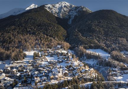
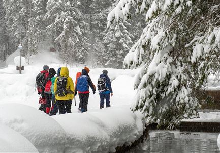
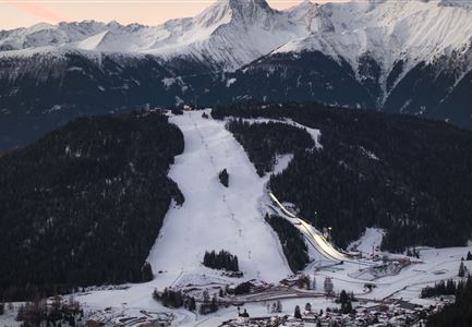
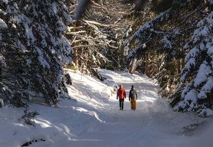
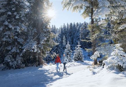
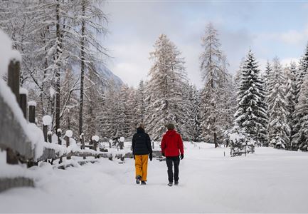
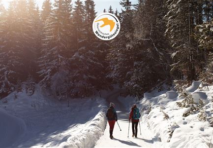
Immerse yourself in the winter idyll of Leutasch on this 4-day winter long-distance hike, the 1st winter multi-day hiking tour in the heart of Tyrol. You’ll hike from accommodation to accommodation, enjoy the comfort of luggage transport, and experience diverse stages with many scenic highlights.

Stage 1: From Burggraben/Schanz to Weidach
The first stage starts in the Leutasch district of Burggraben/Schanz and follows the idyllic Achweg through forests and the open Leutasch Valley to Weidach.

Stage 2: From Leutasch to Mösern
The second stage begins in Leutasch and leads via the Fludertal and Wildmoos to the Wildmoosalm and further to the Lottenseehütte. After an optional stop, the trail continues to Mösern, passing the Möserer See and the impressive Peace Bell of the alpine region.

Stage 3: Through the Katzenloch to Leutasch
The third stage starts in Mösern and follows scenic panoramic paths to the Ropferstub’m. After an optional break, the route continues through the Katzenloch towards Leutasch, then along the Unteren and Oberen Wiesenweg to the Weidachsee.

Stage 4: Up to the Katzenkopf
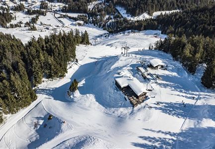
The fourth and final stage of the 1. Winterweitwanderweg Tirols leads from Leutasch up to the Katzenkopf. At the top,

Features & Characteristics

Start Point

Leutasch Wettersteinhütte

End Point

Leutasch information office

Multiday hike

Yes

Multi-Day Tour Feature

Gesamtverlauf
Similar Tour Suggestions

Winterwandern Paar Möserer See Paar läuft durch Wald Aufnahme von hinten (2).jpg

Hiking

W3: Winter Circular Hike Seefeld-Mösern-Seefeld

Length

7,80 km

Duration

02:30 h

Uphill

183 hm

Downhill

179 hm

Altitude

1374 hm

Difficulty

Medium

Open
Weitwandern Etappe 1 Teilnehmer bei Bach (1).jpg

Hiking

Stage 1: From Burggraben/Schanz to Weidach – Tyrol’s 1. Winter Multi-day Hike

Length

14,20 km

Duration

03:30 h

Uphill

140 hm

Downhill

58 hm

Altitude

1162 hm

Difficulty

Medium

Open
Drohnenaufnahme Rauthhütte - Hütte von der Seite mit nebeligem Inntal.jpg

Hiking

W13: Winter Hike to the Rauthhütte

Length

5,00 km

Duration

03:00 h

Uphill

424 hm

Downhill

418 hm

Altitude

1602 hm

Difficulty

Medium

Open
Drohnenbild Gschwandtkopf und Schanze bei Sonneaufgang.jpg

Hiking

W2: Winter Circular Hike around the mountain Gschwandtkopf

Length

10,50 km

Duration

03:30 h

Uphill

226 hm

Downhill

222 hm

Altitude

1342 hm

Difficulty

Medium

Open
Winterwandern-am-Wildmoos-Plateau-(1)_WaLogo.jpg

Hiking

W1: Winter Circular Hike Seefeld-Mösern-Wildmoos

Length

13,00 km

Duration

03:30 h

Uphill

247 hm

Altitude

1333 hm

Difficulty

Medium

Open
Winterwandern im Wildmoos_Wanderinnen laufen durch Wald bei viel Schnee.jpg

Hiking

W18: Winter hike Schlagweg - Rauthgatter - Wildmoos

Length

11,60 km

Duration

03:25 h

Uphill

223 hm

Altitude

1345 hm

Difficulty

Medium

Open
Winterwandern Paar Oberer Wiesenweg Aufnahme von Paar von Hinten laufen neben Zaun (2).jpg

Hiking

Stage 3: Through the Katzenloch to Leutasch – Tyrol’s 1. Winter Multi-day Hike

Length

14,70 km

Duration

04:00 h

Uphill

200 hm

Downhill

290 hm

Altitude

1310 hm

Difficulty

Medium

Open
Katzenkopfhütte Winter

Hiking

Stage 4: Up to the Katzenkopf – Tyrol’s 1. Winter Multi-day Hike

Length

6,00 km

Duration

02:00 h

Uphill

250 hm

Altitude

1360 hm

Difficulty

Medium

Open