Start Point
Parking lot Moos Rödlach
End Point
Parking lot Moos Rödlach
Difficulty
Medium
Total Distance
1,20 km
Descent Meters
39 m
Highest Point
1205 m
Status
Cross-country Skiing
Best Time
Jan
Feb
Mar
Apr
May
Jun
Jul
Aug
Sep
Oct
Nov
Dec
Ski-nordic-classic
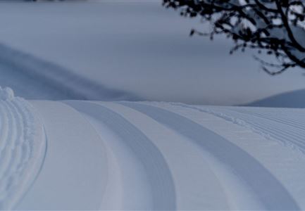
This trail is freshly groomed every day. However, icy and slippery sections may still occur.
Trail Entry Point:
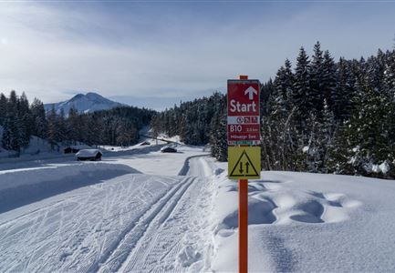
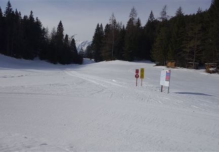
At the Moos Rödlach P11 parking lot
Trail Character:
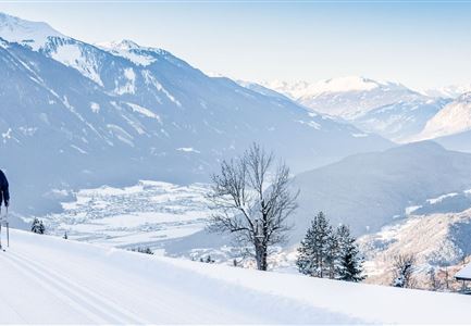
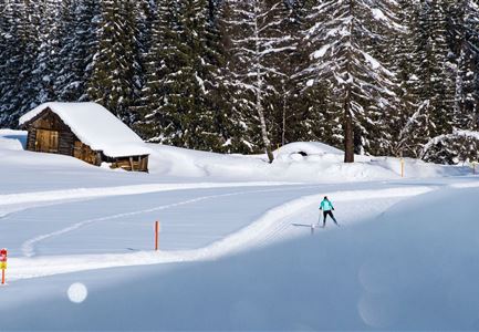
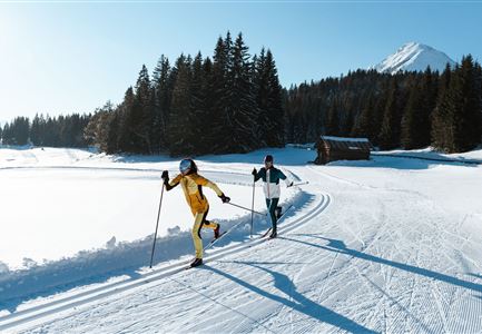
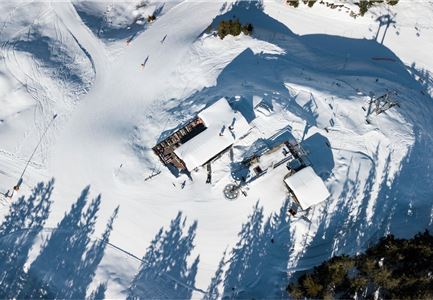
The B4 trail is a short but steep route. Starting at the Moos Rödlach parking lot in Leutasch, it is particularly suited for skating enthusiasts looking to train their endurance and technique. It also serves as a connecting trail to the C10 Mundeknie. From there, you can continue towards Muggenmoos and Wildmoos. Not far from the starting point at the parking area, you’ll find the aHORN – Genuss am Zottlhof restaurant. It’s the perfect place to stop for a cozy break and enjoy regional specialties.
Note: Trail conditions can change throughout the day depending on the weather. Please be aware that there may be icy sections or deep ruts. Adjust your skiing accordingly.
Connecting Trails:
A5 Obern and C10 Mundeknie
For an overview of the entire trail network (including trail status) and helpful cross-country skiing information (ticket machines, waxing and service stations, changing facilities, etc.), check out the
Features & Characteristics
Stamina
Technique
Start Point
Parking lot Moos Rödlach
End Point
Parking lot Moos Rödlach
Skating
Yes
Klassisch
Yes
Barrier-free/adaptive cross-country skiing
Yes
