We use cookies for your personalized browsing experience, to personalize content and ads, to provide social media features, and to analyze traffic to our website. We also share information about your use of our website with our social media, advertising and analytics partners. Our partners may combine this information with other data that you have provided to them or that they have collected as part of your use of the Services. (incl. US providers)

Start Point

Alpenbad Leutasch

End Point

Alpenbad Leutasch

Difficulty

Medium

Total Distance

1,10 km

Descent Meters

10 m

Highest Point

1160 m

Status

Partially open

Map & Elevation Profile

Start Point

Alpenbad Leutasch

End Point

Alpenbad Leutasch

Difficulty

Medium

Total Distance

1,10 km

Descent Meters

10 m

Highest Point

1160 m

Status

Partially open

Cross-country Skiing

Best Time

Partially open

Jan

Feb

Mar

Apr

May

Jun

Jul

Aug

Sep

Oct

Nov

Dec

Ski-nordic

Ski-nordic-classic

+4

Trail Entry Point:
After the ascent from the Alpenbad towards the TVB maintenance facility, the trail entry is located on the left side.

Trail Character:
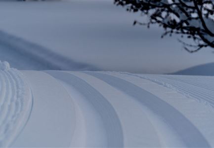
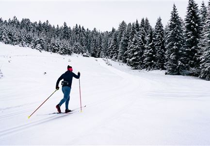
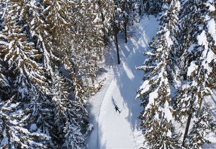
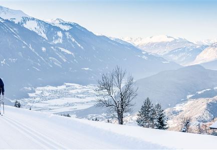
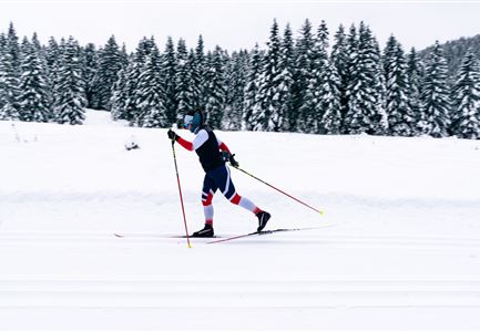
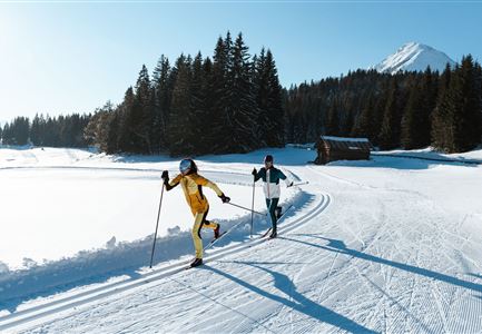
The B14 Alpenbad Forest Trail winds through a quiet, picturesque forest landscape, offering a scenic route ideal for nature enthusiasts. With its mix of ascents and descents, it is suited for advanced cross-country skiers. The trail stretches for just over one kilometer.

After completing the loop, skiers can enjoy refreshments at Gasthaus Dorfstadl or Restaurant Vabene, both conveniently located at Parking Lot P23 "Alpenbad."

The route can also be shortened via the marked shortcut and is ideal for beginners.

Connecting Trails:
A6 - Alpenbad, B11 - Forest Trail, A7 - Gasse, and C9 - Plaik. For a complete overview of the trail network (including real-time trail status) and useful information on cross-country skiing (ticket machines, waxing and service stations, changing facilities, etc.), please refer to the Cross-country Skiing Report.

Features & Characteristics

Start Point

Alpenbad Leutasch

End Point

Alpenbad Leutasch

Snow cover

Yes

Skating

Yes

Klassisch

Yes

Similar Tour Suggestions

Langlaufen-A4-Muggenmoos-Loipe---Buchen

Cross-country Skiing

A4 - Muggenmoos

Length

1,60 km

Uphill

15 hm

Altitude

1262 hm

Difficulty

Easy

Closed
B13 Loipe - Moeserer See-Richtung Lottensee

Cross-country Skiing

B13 - Lottensee-Möserer See

Length

2,90 km

Uphill

97 hm

Altitude

1325 hm

Difficulty

Medium

Closed
Ganghoferlauf_Leutasch_2022

Cross-country Skiing

Race Euroloppet Ganghoferlauf - skating 22 km

Length

22,00 km

Uphill

122 hm

Altitude

1199 hm

Difficulty

Hard

Loipe B11 Waldloipe Drohne

Cross-country Skiing

B11 – Waldloipe

Length

2,70 km

Uphill

51 hm

Altitude

1183 hm

Difficulty

Medium

Closed
Langlaufen in der Region Seefeld - Langläuferin im Wildmoos.jpg

Cross-country Skiing

A3 - Torfstich

Length

1,80 km

Uphill

11 hm

Altitude

1317 hm

Difficulty

Easy

Closed
Loipe bei der Ropferstub'm mit Blick ins Inntal - Moesern-Buchen

Cross-country Skiing

B5 - Katzenloch

Length

5,00 km

Uphill

67 hm

Altitude

1260 hm

Difficulty

Medium

Closed
Langlaeuferin auf der Loipe C2 im Wildmoos am Morgen - Klassisch

Cross-country Skiing

C2 - Wildmoos

Length

4,80 km

Uphill

144 hm

Altitude

1297 hm

Difficulty

Hard

Closed
A14_Baerenwirt

Cross-country Skiing

A14 - Bärenwirt

Length

1,20 km

Uphill

9 hm

Altitude

1021 hm

Difficulty

Easy

Closed