Start Point

Wildmoosalm

End Point

Wildmoosalm

Difficulty

Medium

Total Distance

2,90 km

Descent Meters

49 m

Highest Point

1331 m

Status

Closed

Map & Elevation Profile

Start Point

Wildmoosalm

End Point

Wildmoosalm

Difficulty

Medium

Total Distance

2,90 km

Descent Meters

49 m

Highest Point

1331 m

Status

Closed

Cross-country Skiing

Best Time

Closed

Jan

Feb

Mar

Apr

May

Jun

Jul

Aug

Sep

Oct

Nov

Dec

Ski-nordic-classic

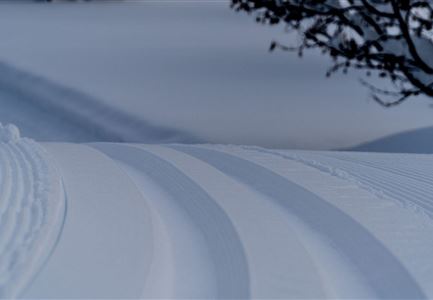
This trail is freshly groomed every day. However, icy and slippery sections may still occur.

Trail Entry Point:

Wildmoosalm

Trail Character:

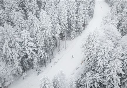
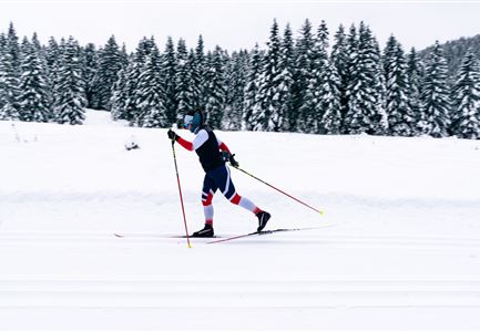
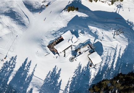
The B3 Wildmoos Lake trail is a moderately difficult, snow-sure loop through the idyllic high plateau around Wildmoos. It winds through open forests and sunny sections, passing the mysterious aperiodic lakes Lottensee and Wildmoossee. The Wildmoosalm lies directly along the trail and is perfect for a relaxing break with regional delights.
Note:
Trail conditions may change throughout the day depending on the weather. Please be aware that icy sections or deep grooves may occur. Adjust your skiing style accordingly.

Connecting Trails:
A3 Torfstich, C2 Wildmoos, and C11 Lottensee
An overview of the entire trail network (including current trail conditions) and helpful cross-country skiing info (ticket machines, waxing and service stations, changing facilities, etc.) can be found in the cross-country skiing report

Features & Characteristics

Stamina

Technique

Start Point

Wildmoosalm

End Point

Wildmoosalm

Skating

Yes

Klassisch

Yes
Videos

Similar Tour Suggestions

B1-Loipe-Moesern

Cross-country Skiing

B1 - Mösern

Length

5,50 km

Uphill

110 hm

Altitude

1228 hm

Difficulty

Medium

Closed
B7 Klassisch.jpg

Cross-country Skiing

B9 - Triendlsäge

Length

3,00 km

Altitude

1163 hm

Difficulty

Medium

Closed
Loipe bei der Ropferstub'm mit Blick ins Inntal - Moesern-Buchen

Cross-country Skiing

B5 - Katzenloch

Length

5,00 km

Uphill

67 hm

Altitude

1260 hm

Difficulty

Medium

Closed
Loipe B11 Waldloipe Drohne

Cross-country Skiing

B11 – Waldloipe

Length

2,70 km

Uphill

51 hm

Altitude

1183 hm

Difficulty

Medium

Closed
Leutasch Katzenkopf

Cross-country Skiing

B15 – High-altitude Trail Leutasch-Wildmoos

Length

7,50 km

Uphill

150 hm

Altitude

1390 hm

Difficulty

Medium

Closed
B4 Loipeneinstieg Skatingzentrum Leutasch

Cross-country Skiing

B4 - Skatingzentrum

Length

1,20 km

Uphill

39 hm

Altitude

1205 hm

Difficulty

Medium

Closed
LL B10 Moeserer See - Seefeld.jpg

Cross-country Skiing

B10 - Möserer See

Length

2,50 km

Uphill

96 hm

Altitude

1323 hm

Difficulty

Medium

Closed
B12 Abzweigung B1-B12

Cross-country Skiing

B12 - Mösern Ortszentrum

Length

1,00 km

Uphill

23 hm

Altitude

1248 hm

Difficulty

Medium

Closed