Start Point

Seefeld Seekirchl

End Point

Seefeld Seekirchl

Difficulty

Hard

Total Distance

9,00 km

Descent Meters

260 m

Highest Point

1236 m

Status

Closed

Map & Elevation Profile

Start Point

Seefeld Seekirchl

End Point

Seefeld Seekirchl

Difficulty

Hard

Total Distance

9,00 km

Descent Meters

260 m

Highest Point

1236 m

Status

Closed

Cross-country Skiing

Best Time

Closed

Jan

Feb

Mar

Apr

May

Jun

Jul

Aug

Sep

Oct

Nov

Dec

Ski-nordic

Ski-nordic-classic

Trail Entry Point:
Seekirchl Seefeld, Seefeld Sports Arena or Seewaldalm

Trail Character:
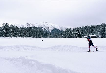
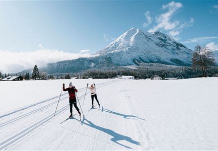
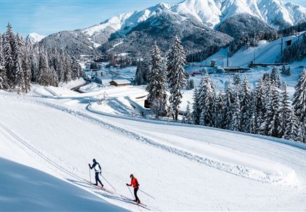
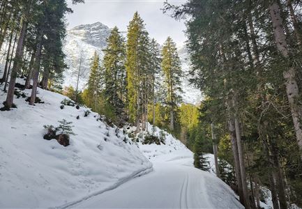
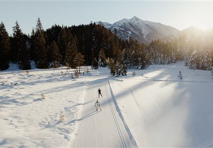
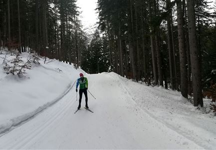
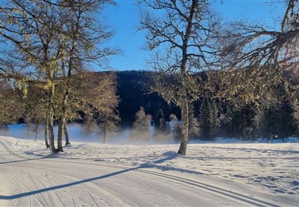
The C1 trail is an athletic journey through Seefeld’s Nordic history. Following the original routes of the 2019 World Championships, this loop starts right at the iconic Seekirchl and lets you trace the steps of pro athletes, tackling steep climbs and fast-paced sprints. The nearly nine-kilometre trail first leads through the scenic Möserer Valley and finishes with a demanding but panoramic run through the Kirchwald forest. Alternative (unsigned) access points and parking are also available at the Seefeld Sports Arena and the Seewaldalm – the latter ideal for a sunny terrace break.
Note: This trail is suitable only for experienced skiers, as it requires solid technique and fitness. Trail conditions may change throughout the day depending on the weather. Be aware of possible icy sections or deep tracks, and adjust your skiing accordingly.

Connecting Trails:

A1 Seekirchl, B1 Mösern, and C2 Wildmoos
An overview of the entire trail network (including current conditions), ticket machines, waxing and service stations, changing facilities,

Features & Characteristics

Start Point

Seefeld Seekirchl

End Point

Seefeld Seekirchl

Snow cover

Yes

Skating

Yes

Klassisch

Yes

Similar Tour Suggestions

Kaiser Maximilian Runde Leutasch

Cross-country Skiing

Kaiser Max Round (classic & skating)

Length

60,00 km

Uphill

659 hm

Altitude

1337 hm

Difficulty

Hard

Closed
langlaufen_in_der_region_seefeld_-_klassisch_-_wildmoos_-_mann_und_frau.jpg

Cross-country Skiing

C2 - Wildmoos

Length

4,80 km

Uphill

144 hm

Altitude

1297 hm

Difficulty

Hard

Closed
C8 Rauthgatter Loipe - Buchen (2).jpg

Cross-country Skiing

C8 - Rauthgatter

Length

1,50 km

Uphill

77 hm

Altitude

1340 hm

Difficulty

Hard

Closed
C7 Loipe_Loipe bergauf.jpg

Cross-country Skiing

C7 - Bichlwald

Length

3,60 km

Uphill

141 hm

Altitude

1323 hm

Difficulty

Hard

Closed
langlaufen_in_der_region_seefeld_zwei_langlaeufer_auf_c9_plaik_loipe_in_leutasch_weitwinkelaufnahme_mit_hohe_munde.jpg

Cross-country Skiing

C9 - Plaik

Length

8,70 km

Uphill

169 hm

Altitude

1224 hm

Difficulty

Hard

Closed
Katzenkopfhuette Leutasch(2).jpg

Cross-country Skiing

Katzenkopf circuit (classic & skating)

Length

20,50 km

Uphill

175 hm

Altitude

1380 hm

Difficulty

Hard

Closed
Wildmoos_Langlaufen_(c) ORS_Tessa Mellinger (1).jpg

Cross-country Skiing

Wildmoos circuit (classic & skating)

Length

17,00 km

Uphill

324 hm

Altitude

1332 hm

Difficulty

Hard

Closed
Langlaufen auf der C11

Cross-country Skiing

C11 - Lottensee

Length

3,40 km

Uphill

99 hm

Altitude

1332 hm

Difficulty

Hard

Closed