Start Point

Parking Lot P6 Hoher Sattel

End Point

Parking Lot P6 Hoher Sattel

Difficulty

Hard

Total Distance

11,50 km

Descent Meters

1353 m

Ascent Meters

1353 m

Highest Point

2196 m

Total Time

08:30 h

Map & Elevation Profile

Start Point

Parking Lot P6 Hoher Sattel

End Point

Parking Lot P6 Hoher Sattel

Difficulty

Hard

Total Distance

11,50 km

Descent Meters

1353 m

Ascent Meters

1353 m

Highest Point

2196 m

Total Time

08:30 h

Hiking

Best Time

Jan

Feb

Mar

Apr

May

Jun

Jul

Aug

Sep

Oct

Nov

Dec

Hiking tour

Summit hike

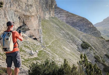
Long, difficult alpine tour with climbing passages in grade 3-, which requires excellent physical condition.

Only recommended for very experienced climbers, because the route is marked (red dots) but not secured. There are some climbing passages in grade 3- to overcome. Climbing harness, rope and helmet are necessary for self-securing.

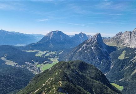
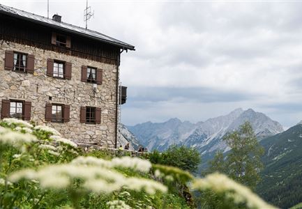
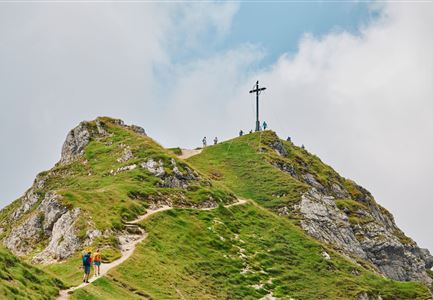
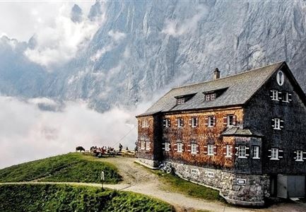
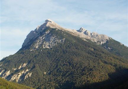
From the parking lot (P6) in the Ahrn district, follow the forest road to the Hohe Sattel. It is recommended to ride your bike up there. From the Hohen Sattel continue by foot, always following the signs in the direction of Große Arnspitze. The path quickly turns into a steep climb through gravelly terrain. From the unserviced hut it takes about 50 minutes to reach the summit of the Große Arnspitze. From the summit descend again a few meters, then to the right the route leads through rocky terrain, partly interspersed with mountain pines, to the Mittlere Arnspitze (no climb, but route marked with red dots).

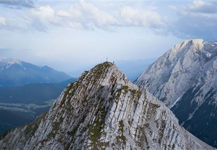
Always along the ridge, following the markings, go to the Mittlere Arnspitze. This can also be bypassed without difficulty. The Arnplattenspitze offers a short climb in the last part to the summit cross. Here, at the latest, you should enjoy the breathtaking view of

Features & Characteristics

Stamina

Technique

Start Point

Parking Lot P6 Hoher Sattel

End Point

Parking Lot P6 Hoher Sattel

Similar Tour Suggestions

Wanderer auf dem Weg vom Seefelder Joch zur Seefelder Spitze - Gipfelkreuz der Spitze im Blick.jpg

Hiking

"Königstour" The royal's hiking tour

Length

4,40 km

Duration

03:00 h

Uphill

502 hm

Downhill

464 hm

Altitude

2364 hm

Difficulty

Hard

Durchs Karwendeltal aufs Karwendelhaus - Scharnitz

Hiking

Hike to the Karwendelhaus

Length

36,00 km

Duration

11:15 h

Uphill

839 hm

Altitude

1765 hm

Difficulty

Hard

Nördlinger Hütte - Wanderer kurz vor der Hütte (2).jpg

Hiking

Circular hike to the Nördlinger Hütte alpine hut & Reither Spitze Summit, 2,374m

Length

9,90 km

Duration

07:30 h

Uphill

1191 hm

Altitude

2374 hm

Difficulty

Hard

Ausblick von der Arnplattenspitze auf die Gehrenspitze, Hohe Munde

Hiking

Circular hike Arnplattenspitze, 2,171 m

Length

8,60 km

Duration

07:00 h

Uphill

1106 hm

Altitude

2171 hm

Difficulty

Hard

Gipfel Grosse Arnspitze - Scharnitz

Hiking

Hike to the Große Arnspitze Summit, 2,196 m

Length

9,00 km

Duration

07:30 h

Uphill

1247 hm

Altitude

2196 hm

Difficulty

Hard

Gravelbike - Zum Isarursprung.jpg

Hiking

Bike & Hike Hoher Gleirsch Summit, 2,492 m

Length

31,00 km

Duration

09:30 h

Uphill

1772 hm

Altitude

2492 hm

Difficulty

Hard

Grosse Arnspitze Blick ins Karwendel - Scharnitz

Hiking

Hike Hoher Sattel - Große Arnspitze Summit, 2,196 m

Length

10,30 km

Duration

08:00 h

Uphill

1313 hm

Altitude

2196 hm

Difficulty

Hard

Meilerhütte

Hiking

Hike to the Meilerhütte alpine hut

Length

16,90 km

Duration

09:00 h

Uphill

1390 hm

Altitude

2371 hm

Difficulty

Hard