Start Point
Leutasch parking Stupfer (P2)
End Point
Leutasch parking Stupfer (P2)
Difficulty
Hard
Total Distance
21,00 km
Descent Meters
1150 m
Ascent Meters
1150 m
Highest Point
2367 m
Total Time
07:00 h
Hiking
Best Time
Jan
Feb
Mar
Apr
May
Jun
Jul
Aug
Sep
Oct
Nov
Dec
Bike & Hike
Hiking tour
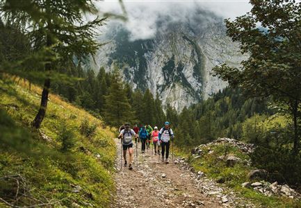
The starting point for this bike & hike tour is the parking Stupfer (P2) in Gaistal. Here, however, you do not follow the path into the valley, but the asphalt road back to Klamm. At the "Infopoint" turn north and follow the road - keep left on the upcoming intersection until you reach a frost road (gravel). From now on it goes constantly steep uphill. The beauty of the route is the dense forest with shady trees and many nice resting places. The forest road is easy to ride and winds uphill in several curves bends, but also long, almost flat sections. Above the tree line, about 100 hm below the Wettersteinhütte and the Wangalm, you should leave your bikes and tackle the last section on foot.
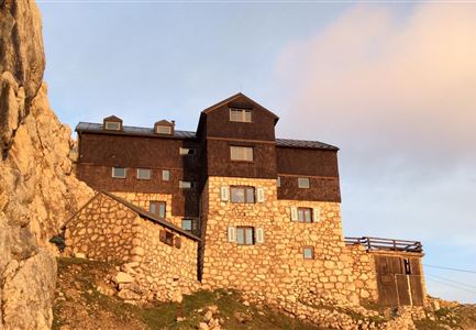
From here the path becomes very steep and rough gravel. After 10 minutes of walking you reach a cross: On the right is the Wangalm, on the left the Wettersteinhütte. Both destinations offer fantastic panoramic view. The huts are south-facing, so that in good weather you can enjoy the sun all day. Attention grazing cattle, please keep your distance and cross the grazing area quietly
Features & Characteristics
Refreshment stops
Start Point
Leutasch parking Stupfer (P2)
End Point
Leutasch parking Stupfer (P2)
