Start Point

Mösern Information Office

End Point

Mösern Information Office

Difficulty

Medium

Total Distance

12,70 km

Descent Meters

382 m

Ascent Meters

382 m

Highest Point

1498 m

Total Time

04:00 h

Map & Elevation Profile

Start Point

Mösern Information Office

End Point

Mösern Information Office

Difficulty

Medium

Total Distance

12,70 km

Descent Meters

382 m

Ascent Meters

382 m

Highest Point

1498 m

Total Time

04:00 h

Hiking

Best Time

Jan

Feb

Mar

Apr

May

Jun

Jul

Aug

Sep

Oct

Nov

Dec

Hiking tour

Circular hike

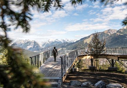
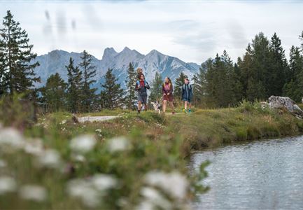
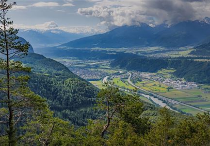
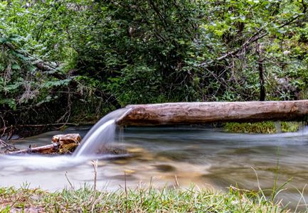
The Brunschkopf offers many beautiful trails, and this route connects the most impressive highlights: the Brunschkopf viewing platform, refreshment stops, and with a bit of luck, three lakes (two of which are aperiodic and may not always be visible).

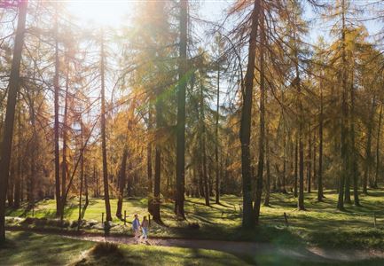
From the Mösern Information Office, first follow the Broch-Weg (signposted Möserer See/Brunschkopf) uphill. At the end of the Broch-Weg, continue straight onto the signposted gravel path. At the next opportunity, turn right to the Möserer See parking lot (P3) and then continue on the wide gravel path into the forest.

At the second fork, follow the signs for Brunschkopf/Wildmoosalm/Seefeld to the right. At the next opportunity, turn left onto the hiking trail (Trail No. 61 Brunschkopf). Keep following this trail – be especially mindful of bikers where the forest road crosses the path. At the scenic viewpoint Hohe Munde, it's worth taking a memorable photo. A little further on, you'll reach the Brunschkopf viewing platform. The breathtaking mountain panorama can be enjoyed with crystal-clear detail using a high-quality Swarovski telescope.

For the descent, follow the signs to Wildmoosalm. This cozy alpine hut, with its sunny terrace, is a perfect place to take

Features & Characteristics

Start Point

Mösern Information Office

End Point

Mösern Information Office

Family-friendly

Yes

Loop tour

Yes

Videos

Similar Tour Suggestions

Wanderweg zur Hohen Fluder mit Blick Richtung Hohe Munde.jpg

Hiking

Hike Hoher Sattel

Length

10,60 km

Duration

04:00 h

Uphill

524 hm

Altitude

1620 hm

Difficulty

Medium

Rotmoosalm im Gaistal beim Sonnenuntergang (C) Olympiaregion Seefeld

Hiking

High Pasture alpine hut hike above the Gaistal Valley

Length

24,40 km

Duration

09:45 h

Uphill

1263 hm

Downhill

1264 hm

Altitude

2132 hm

Difficulty

Medium

Gleirschklamm - Scharnitz (17).jpg

Hiking

Hike through the Gleirschklamm to the Möslalm

Length

21,20 km

Duration

06:30 h

Uphill

505 hm

Downhill

498 hm

Altitude

1261 hm

Difficulty

Medium

Wildmoosalm im Sommer - Alm aus der Distanz mit Gewässer im Vordergrund.jpg

Hiking

Circular hiking trail Wildmoos-Hochmoos

Length

10,00 km

Duration

04:00 h

Uphill

437 hm

Altitude

1544 hm

Difficulty

Medium

Hallerangeralm

Hiking

Bike & Hike Sunntigerspitze Summit, 2,321 m

Length

42,00 km

Duration

09:00 h

Uphill

1396 hm

Altitude

2321 hm

Difficulty

Medium

Muggenmoosalm

Hiking

Circular hike from Seefeld to the Lottenseehütte alpine hut & Muggenmoosalm alpine hut

Length

15,30 km

Duration

04:30 h

Uphill

554 hm

Altitude

1398 hm

Difficulty

Medium

Partially open
Leutascher Geisterklamm - Wasserfallsteig (2).jpg

Hiking

​Hike through the Leutasch Spirit Gorge and to the Waterfall Trail

Length

5,00 km

Duration

02:30 h

Uphill

225 hm

Downhill

221 hm

Altitude

1061 hm

Difficulty

Medium

Gravelbike - an der türkisblauen Isar.jpg

Hiking

Bike & Hike Halleranger house - Halleranger alm

Length

38,00 km

Duration

06:00 h

Uphill

832 hm

Altitude

1768 hm

Difficulty

Medium