We use cookies for your personalized browsing experience, to personalize content and ads, to provide social media features, and to analyze traffic to our website. We also share information about your use of our website with our social media, advertising and analytics partners. Our partners may combine this information with other data that you have provided to them or that they have collected as part of your use of the Services. (incl. US providers)

Start Point

ErlebnisWelt Alpenbad Leutasch

End Point

ErlebnisWelt Alpenbad Leutasch

Difficulty

Easy

Total Distance

20,00 km

Descent Meters

534 m

Ascent Meters

510 m

Highest Point

1417 m

Map & Elevation Profile

Start Point

ErlebnisWelt Alpenbad Leutasch

End Point

ErlebnisWelt Alpenbad Leutasch

Difficulty

Easy

Total Distance

20,00 km

Descent Meters

534 m

Ascent Meters

510 m

Highest Point

1417 m

Running

Best Time

Jan

Feb

Mar

Apr

May

Jun

Jul

Aug

Sep

Oct

Nov

Dec

Running

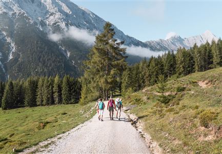
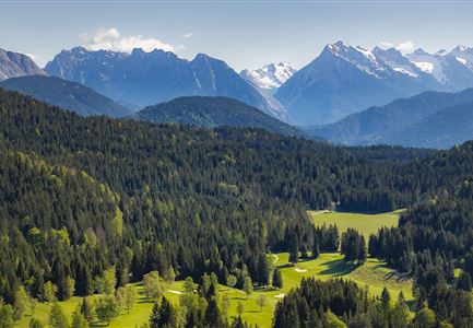
This 20km Bichlwald Walk starts at the same time, as the Wiesenweg Walk and almost takes the same route. However, at the hamlet of Moos it leads into the idyllic and enchanting Gaistal valley. From there it heads up to the Hämmermoosalm, where walkers can really feel the traditional alpine pasture atmosphere of the Alps. The trail descends from the Hämmermoosalm back in the direction of Leutasch.


Features & Characteristics

Start Point

ErlebnisWelt Alpenbad Leutasch

End Point

ErlebnisWelt Alpenbad Leutasch

Similar Tour Suggestions

Nordic Summer Camp 2021 - Laeufer bei Laufrunde um den Moeserer See.jpg

Running

Around the Möserer See lake

Length

2,30 km

Uphill

79 hm

Downhill

82 hm

Altitude

1288 hm

Difficulty

Easy

©stephanelsler2017

Running

IML Unicorn March Day 3: 42 km - Gaistal Valley Hike

Length

42,00 km

Uphill

1102 hm

Downhill

1068 hm

Altitude

1417 hm

Difficulty

Easy

Joggen - Symbolbild

Running

Olympia track

Length

9,60 km

Uphill

188 hm

Altitude

1370 hm

Difficulty

Medium

Berglauf Symbolbild

Running

Zugspitz Ultratrail

Length

68,80 km

Uphill

3120 hm

Downhill

4009 hm

Altitude

2044 hm

Difficulty

Hard

Kirche in Scharnitz

Running

Isarrun

Length

7,80 km

Uphill

78 hm

Downhill

48 hm

Altitude

979 hm

Difficulty

Easy

Lottensee

Running

Circuit run around the Lottensee lake

Length

6,40 km

Uphill

123 hm

Downhill

126 hm

Altitude

1344 hm

Difficulty

Easy

Gasthaus Triendlsäge

Running

Verbindungsstrecke Seefeld-Leutasch

Length

14,50 km

Uphill

338 hm

Downhill

250 hm

Altitude

1226 hm

Difficulty

Medium

©stephanelsler2017

Running

IML Unicorn March Day 3: 10 km - Wiesenweg Hike

Length

10,00 km

Uphill

137 hm

Downhill

134 hm

Altitude

1198 hm

Difficulty

Easy