Start Point

Naturpark Info Center Scharnitz (P2)

End Point

Naturpark Info Center Scharnitz (P2)

Difficulty

Hard

Total Distance

20,10 km

Descent Meters

1600 m

Ascent Meters

1600 m

Highest Point

2569 m

Total Time

10:30 h

Map & Elevation Profile

Start Point

Naturpark Info Center Scharnitz (P2)

End Point

Naturpark Info Center Scharnitz (P2)

Difficulty

Hard

Total Distance

20,10 km

Descent Meters

1600 m

Ascent Meters

1600 m

Highest Point

2569 m

Total Time

10:30 h

Hiking

Best Time

Jan

Feb

Mar

Apr

May

Jun

Jul

Aug

Sep

Oct

Nov

Dec

Hiking tour

Hut hike

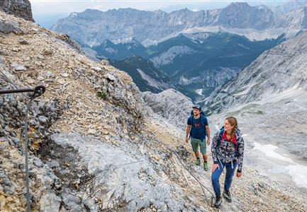
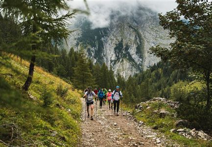
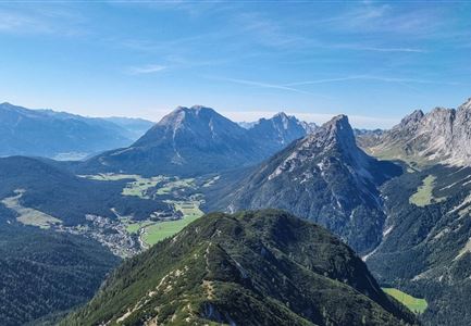
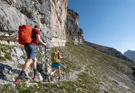
From the Nature Park Information Center in Scharnitz, follow the Hinterautalstraße about 2 km into the valley, then turn left and hike in several switchbacks to Lablehner. This place, a clearing in the meadow, offers a beautiful view of Brunnstein and the Karwendel Valley.

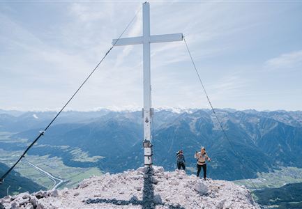
The path flattens out for a short distance (always keep to the right) and then steadily climbs in numerous switchbacks to the Pleisenhütte, which invites you to take a break on its sunny terrace on the south side. Hikers in good shape can continue the ascent to Pleisenspitze (2569 m).

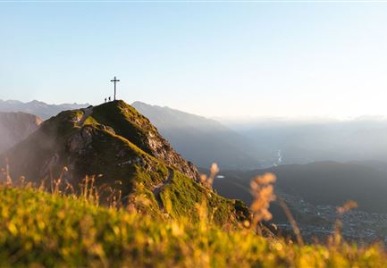
Just behind the hut, a narrow, partly steep trail initially leads through dwarf pines and later over alpine meadows to Pleisenspitze, which offers a spectacular view of the surroundings. The descent is via the same route. Good footing is required!

For those who only want to visit the Pleisenhütte, there is also a detailed tour description: Hike to the Pleisenhütte.

Features & Characteristics

Start Point

Naturpark Info Center Scharnitz (P2)

End Point

Naturpark Info Center Scharnitz (P2)
Similar Tour Suggestions

Sonnenuntergang Hohe Munde_Ostgipfel_.jpg

Hiking

Hike Hohe Munde Summit, 2.592 m

Length

11,30 km

Duration

09:00 h

Uphill

1410 hm

Altitude

2562 hm

Difficulty

Hard

Ausblick von der Arnplattenspitze auf die Gehrenspitze, Hohe Munde

Hiking

Circular hike Arnplattenspitze, 2,171 m

Length

8,60 km

Duration

07:00 h

Uphill

1106 hm

Altitude

2171 hm

Difficulty

Hard

toni-gaugg-weg_im_karwendel_wanderer_macht_bild.jpg

Hiking

Toni Gaugg Trail: High-Alpine Ridge Route from the Pleisenhütte to the Karwendelhaus

Length

12,74 km

Duration

08:00 h

Uphill

1200 hm

Altitude

2506 hm

Difficulty

Hard

Wanderer auf dem Weg vom Seefelder Joch zur Seefelder Spitze - Gipfelkreuz der Spitze im Blick.jpg

Hiking

"Königstour" The royal's hiking tour

Length

4,40 km

Duration

03:00 h

Uphill

502 hm

Downhill

464 hm

Altitude

2364 hm

Difficulty

Hard

Wanderer auf der Seefelder Spitze ueber Seefeld

Hiking

Bike & Hike Seefelder Spitze Summit, 2,220 m

Length

13,00 km

Duration

04:30 h

Uphill

1094 hm

Altitude

2220 hm

Difficulty

Hard

Meilerhütte

Hiking

Hike to the Meilerhütte alpine hut

Length

18,90 km

Duration

10:00 h

Uphill

1420 hm

Altitude

2370 hm

Difficulty

Hard

Blick auf Arnspitzen Ueberschreitung - Scharnitz

Hiking

Mountain tour crossing of the Arnspitzen

Length

11,50 km

Duration

08:30 h

Uphill

1353 hm

Altitude

2196 hm

Difficulty

Hard

Sonnenaufgang im Karwendel_Speckkarspitze

Hiking

Bike & Hike Speckkarspitze, 2,621 m

Length

44,00 km

Duration

11:00 h

Uphill

1794 hm

Altitude

2621 hm

Difficulty

Hard