Start Point

Information office Scharnitz (P2)

End Point

Information office Scharnitz (P2)

Difficulty

Hard

Total Distance

44,00 km

Descent Meters

1794 m

Ascent Meters

1794 m

Highest Point

2621 m

Total Time

11:00 h

Map & Elevation Profile

Start Point

Information office Scharnitz (P2)

End Point

Information office Scharnitz (P2)

Difficulty

Hard

Total Distance

44,00 km

Descent Meters

1794 m

Ascent Meters

1794 m

Highest Point

2621 m

Total Time

11:00 h

Hiking

Best Time

Jan

Feb

Mar

Apr

May

Jun

Jul

Aug

Sep

Oct

Nov

Dec

Bike & Hike

Hiking tour

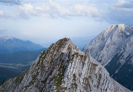
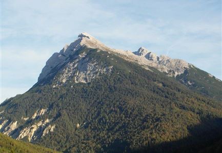
Very long hike that requires good physical condition and for the summit climb a head for heights and absolute surefootedness. To save time, it is recommended to go by bike to the Kastenalm.
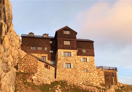
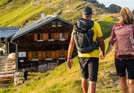
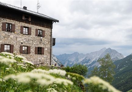
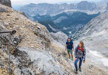
From the nature park information center, follow the Hinterautalstraße to the Gleirschhöhe. From there, take the left forest road in the direction of Isarursprung/Kastenalm. Park your bike just before the Kastenalm and go over a small bridge to the right, then go steeply uphill past the Lafatscher Niederleger to the Halleranger. Once you reach the alpine pasture, the trails split. At the junction, keep right until you reach the Hallerangerhaus. At the house again keep right and follow the path up to the Lafatscherjoch. From there, a narrow, initially easy trail leads to the left towards the west ridge of the Speckkarspitze and later in easy climbing (1+) over the connecting ridge and short exposed passages to the Speckkarspitze. The descent takes place over gravel, scree-rich, partially secured with wire ropes in the direction of the ascent route below the Lafatscherjoch. Return to the starting point along the same path.

Details for one direction:

  • Bike route no. 578: approx. 14 km, 300 hm uphill, 01:30 h, difficulty: easy
  • Hike route: approx. 8 km, 1494 hm uphill, 04:00

Features & Characteristics

Start Point

Information office Scharnitz (P2)

End Point

Information office Scharnitz (P2)
Videos

Similar Tour Suggestions

Wanderung auf die Birkkarspitze - Scharnitz (65).jpg

Hiking

Hike from the Karwendelhaus to the Hinterautal

Length

9,20 km

Duration

07:00 h

Uphill

883 hm

Altitude

2642 hm

Difficulty

Hard

Drohnenaufnahme Pleisenspitze im Sommer.jpg

Hiking

Hike to the Pleisenspitze Summit, 2,569 m

Length

20,10 km

Duration

10:30 h

Uphill

1600 hm

Altitude

2569 hm

Difficulty

Hard

Ausblick von der Arnplattenspitze auf die Gehrenspitze, Hohe Munde

Hiking

Circular hike Arnplattenspitze, 2,171 m

Length

8,60 km

Duration

07:00 h

Uphill

1106 hm

Altitude

2171 hm

Difficulty

Hard

Wanderer auf der Gehrenspitze ueber Leutasch im Sonnenaufgang - Panoramaaufnahme.jpg

Hiking

Hike to the Gehrenspitze, 2,367 m

Length

22,80 km

Duration

10:00 h

Uphill

1319 hm

Altitude

2367 hm

Difficulty

Hard

Nördlinger Hütte - Hütte mit Blick ins Inntal Richtung Süden (1).jpg

Hiking

Circular hike via Eppzirler Alm and Nördlinger hut to Seefeld

Length

20,40 km

Duration

10:00 h

Uphill

1464 hm

Altitude

2231 hm

Difficulty

Hard

Solsteinhaus Etappe 2 Ziel & 3 Start

Hiking

Hike to the Solsteinhaus

Length

22,00 km

Duration

08:00 h

Uphill

940 hm

Downhill

975 hm

Altitude

1803 hm

Difficulty

Hard

Bike Tour durchs Karwendeltal aufs Karwendelhaus - Scharnitz (51).jpg

Hiking

Hike to the Karwendelhaus

Length

36,00 km

Duration

11:15 h

Uphill

839 hm

Altitude

1765 hm

Difficulty

Hard

Meilerhütte

Hiking

Hike to the Meilerhütte alpine hut

Length

18,90 km

Duration

10:00 h

Uphill

1420 hm

Altitude

2370 hm

Difficulty

Hard