Start Point

Leutasch parking Salzbach (P5)

End Point

Leutasch parking Salzbach (P5)

Difficulty

Hard

Total Distance

19,00 km

Descent Meters

1015 m

Ascent Meters

1015 m

Highest Point

2234 m

Total Time

04:30 h

Map & Elevation Profile

Start Point

Leutasch parking Salzbach (P5)

End Point

Leutasch parking Salzbach (P5)

Difficulty

Hard

Total Distance

19,00 km

Descent Meters

1015 m

Ascent Meters

1015 m

Highest Point

2234 m

Total Time

04:30 h

Hiking

Best Time

Jan

Feb

Mar

Apr

May

Jun

Jul

Aug

Sep

Oct

Nov

Dec

Hiking tour

Bike & Hike

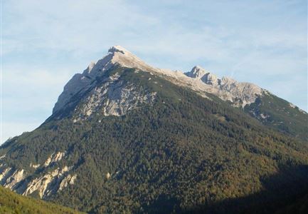
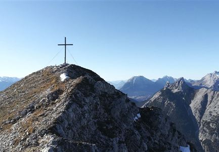
The trail first leads over a short, steeper ascent through wooded areas until you get to a junction, keep left here in the direction of Gaistalalm and from there take the, now easier, forest trail into Gaistal. Keep right at the Gaistalalm turn-off. This is followed by a steep, winding ascent towards the Rotmoosalm (see also bike tour Rotmoosalm). Leave the bike at the Predigtstuhl junction and continue on foot. Over lush green grassy slopes you come to a saddle, from where you reach the Predigtstuhl between rugged rocks. Once at the top, you are rewarded with a magnificent view. Take the same route back to the starting point.

Details for one direction:

  • Bike route nr. 553: approx. 8.5 km, 670 hm uphill, 01:45 h, difficulty: difficult

  • Hike route: approx. 1 km, 340 hm uphill, 01:15 h, difficulty: difficult


If the tour is hiked only, it will takes about 04:45 h in one direction.

Features & Characteristics

Stamina

Technique

Start Point

Leutasch parking Salzbach (P5)

End Point

Leutasch parking Salzbach (P5)

Similar Tour Suggestions

Meilerhütte

Hiking

Hike to the Meilerhütte alpine hut

Length

16,90 km

Duration

09:00 h

Uphill

1390 hm

Altitude

2371 hm

Difficulty

Hard

Gipfel Grosse Arnspitze - Scharnitz.jpg

Hiking

Hike to the Große Arnspitze Summit, 2,196 m

Length

9,00 km

Duration

07:30 h

Uphill

1247 hm

Altitude

2196 hm

Difficulty

Hard

Drohnenaufnahme Pleisenspitze im Sommer.jpg

Hiking

Hike to the Pleisenspitze Summit, 2,569 m

Length

20,10 km

Duration

10:30 h

Uphill

1600 hm

Altitude

2569 hm

Difficulty

Hard

Grosse Arnspitze Blick ins Karwendel - Scharnitz.jpg

Hiking

Hike Hoher Sattel - Große Arnspitze Summit, 2,196 m

Length

10,30 km

Duration

08:00 h

Uphill

1313 hm

Altitude

2196 hm

Difficulty

Hard

Brunnsteinspitze mit Gipfelkreuz - Scharnitz (4).jpg

Hiking

Hike to the Brunnsteinspitze Summit, 2,180 m

Length

13,00 km

Duration

08:30 h

Uphill

1368 hm

Altitude

2180 hm

Difficulty

Hard

Gravelbike - Zum Isarursprung.jpg

Hiking

Bike & Hike Speckkarspitze, 2,621 m

Length

44,00 km

Duration

11:00 h

Uphill

1794 hm

Altitude

2621 hm

Difficulty

Hard

Wanderung auf die Birkkarspitze - Scharnitz (65).jpg

Hiking

Hike from the Karwendelhaus to the Hinterautal

Length

9,20 km

Duration

07:00 h

Uphill

883 hm

Altitude

2642 hm

Difficulty

Hard

Wangalm im Wettersteingebirge

Hiking

Bike & Hike Gehrenspitze Summit, 2,367 m

Length

21,00 km

Duration

07:00 h

Uphill

1150 hm

Altitude

2367 hm

Difficulty

Hard