Start Point

Seefeld valley station Rosshütte

End Point

Seefeld valley station Rosshütte

Difficulty

Hard

Total Distance

13,00 km

Descent Meters

1094 m

Ascent Meters

1094 m

Highest Point

2220 m

Total Time

04:30 h

Map & Elevation Profile

Start Point

Seefeld valley station Rosshütte

End Point

Seefeld valley station Rosshütte

Difficulty

Hard

Total Distance

13,00 km

Descent Meters

1094 m

Ascent Meters

1094 m

Highest Point

2220 m

Total Time

04:30 h

Hiking

Best Time

Jan

Feb

Mar

Apr

May

Jun

Jul

Aug

Sep

Oct

Nov

Dec

Hiking tour

Bike & Hike

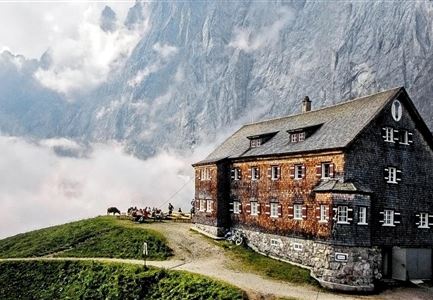
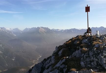
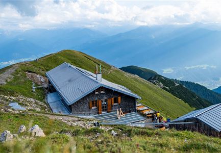
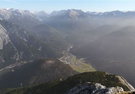
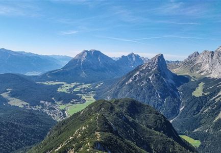
Start the Bike & Hike tour at the Rosshütte valley station. Follow the trail to the Rosshütte and park your bike at the mountain station. From there hike south on wide grass hills and over a narrower ridge to the Seefelder Spitze summit at an altitude of 2,220 m. Now a challenging climb just to the right of the south ridge leads downhill in partly slightly scabby ground into a gap on the other side of the ridge and down to the "Törl" at 2,122m. Staying to the right, you come downhill to a junction in the path. Along the rocky foot to the left you come over some rocks to the Reither Joch. There you choose the path to the northwest and come diagonally through steep slopes down to the mountain station Härmelekopf at 2,034 m, from where you can take the gondola high above the Hermannstal back to the mountain station Rosshütte. Enjoy once again the fantastic panorama before you ride your bike back down to the valley.

Details for the entire tour:

  • Bike route nr. 5027: approx. 5 km, 500 hm uphill, 01:00 h, difficulty: difficult

  • Hike route: approx. 4 km, 600 hm uphill,

Features & Characteristics

Start Point

Seefeld valley station Rosshütte

End Point

Seefeld valley station Rosshütte
Similar Tour Suggestions

Wanderer auf der Gehrenspitze ueber Leutasch im Sonnenaufgang - Panoramaaufnahme.jpg

Hiking

Hike to the Gehrenspitze, 2,367 m

Length

22,80 km

Duration

10:00 h

Uphill

1319 hm

Altitude

2367 hm

Difficulty

Hard

Wanderer auf dem Predigtstuhl.jpg

Hiking

Bike & Hike Predigtstuhl Summit, 2,234 m

Length

19,00 km

Duration

04:30 h

Uphill

1015 hm

Altitude

2234 hm

Difficulty

Hard

Grosse Arnspitze Blick ins Karwendel - Scharnitz

Hiking

Hike Hoher Sattel - Große Arnspitze Summit, 2,196 m

Length

10,30 km

Duration

08:00 h

Uphill

1313 hm

Altitude

2196 hm

Difficulty

Hard

Durchs Karwendeltal aufs Karwendelhaus - Scharnitz

Hiking

Hike to the Karwendelhaus

Length

36,00 km

Duration

11:15 h

Uphill

839 hm

Altitude

1765 hm

Difficulty

Hard

Nördlinger Hütte - Wanderer kurz vor der Hütte (2).jpg

Hiking

Circular hike to the Nördlinger Hütte alpine hut & Reither Spitze Summit, 2,374m

Length

9,90 km

Duration

07:30 h

Uphill

1191 hm

Altitude

2374 hm

Difficulty

Hard

Sonnenuntergang Hohe Munde_Ostgipfel

Hiking

Hike Hohe Munde Summit, 2.592 m

Length

11,30 km

Duration

09:00 h

Uphill

1410 hm

Altitude

2562 hm

Difficulty

Hard

Meilerhütte

Hiking

Hike to the Meilerhütte alpine hut

Length

16,90 km

Duration

09:00 h

Uphill

1390 hm

Altitude

2371 hm

Difficulty

Hard

Gravelbike - Zum Isarursprung.jpg

Hiking

Bike & Hike Hoher Gleirsch Summit, 2,492 m

Length

31,00 km

Duration

09:30 h

Uphill

1772 hm

Altitude

2492 hm

Difficulty

Hard