Start Point

Leutasch Moos, Parking Lot Rödlach (P11)

End Point

Leutasch Moos, Parking Lot Rödlach (P11)

Difficulty

Easy

Total Distance

7,10 km

Descent Meters

155 m

Ascent Meters

154 m

Highest Point

1280 m

Total Time

02:00 h

Status

Partially open

Map & Elevation Profile

Start Point

Leutasch Moos, Parking Lot Rödlach (P11)

End Point

Leutasch Moos, Parking Lot Rödlach (P11)

Difficulty

Easy

Total Distance

7,10 km

Descent Meters

155 m

Ascent Meters

154 m

Highest Point

1280 m

Total Time

02:00 h

Status

Partially open

Hiking

Best Time

Partially open

Jan

Feb

Mar

Apr

May

Jun

Jul

Aug

Sep

Oct

Nov

Dec

Circular hike

Hiking tour

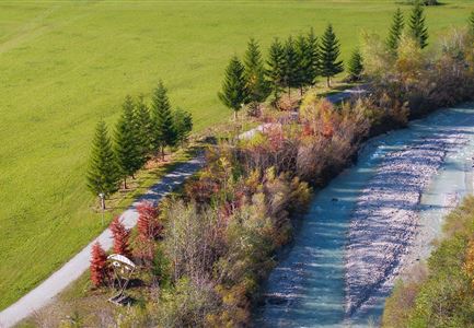
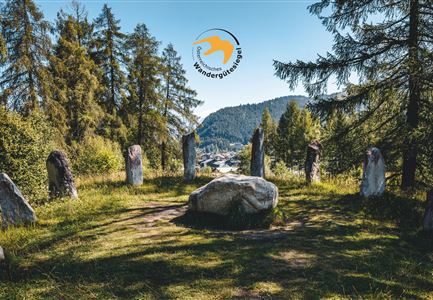
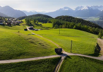
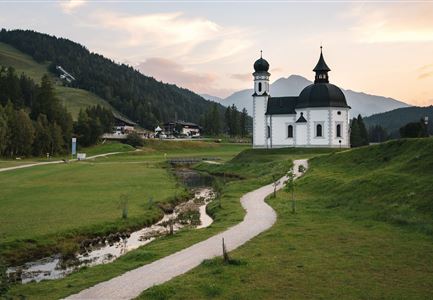
This circular hike takes you through dense forests and picturesque meadows, immersing you in the idyllic landscape of the Leutasch Valley. Along the way, you can discover the Tyrolean Farmhouse Museum and enjoy a rustic stopover before continuing to explore the breathtaking natural surroundings.

The scenic hike starts directly from the Rödllach parking lot near the Leutasch Zottlhof. Close to the parking area, you’ll find the marked trail leading through the Katzenloch. After a brief stretch across the fields, the path leads into the charming forest — an especially beautiful spot that opens up into the Mösern district of Buchen. Here, you take the turn toward the Tyrolean Farmhouse Museum.

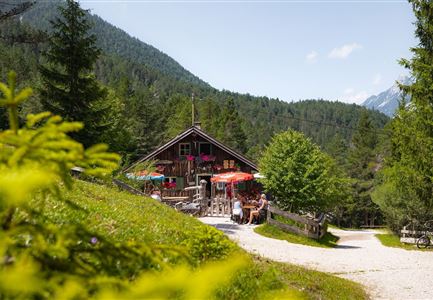
Right by the museum, the traditional restaurant Ropferstub’m invites you to take a break with hearty dishes and a cozy, authentic atmosphere. After an optional rest, head left from the Ropferstub’m and follow the Schlagweg along the forest edge until the next junction near the Interalpen-Hotel Tyrol. Cross the road and continue following the trail signs towards Muggenmoos. Once you’ve passed the romantic paths through the dense forest, a wide clearing offers the perfect spot for a detour

Features & Characteristics

Start Point

Leutasch Moos, Parking Lot Rödlach (P11)

End Point

Leutasch Moos, Parking Lot Rödlach (P11)

Loop tour

Yes

Family-friendly

Yes

Similar Tour Suggestions

Wanderung zur Scharnitzer Alm - Scharnitzer Alm mit Tannenzweigen im Vordergrund.jpg

Hiking

Circular hiking trail Scharnitzer alpine hut

Length

5,70 km

Duration

01:30 h

Uphill

130 hm

Altitude

1022 hm

Difficulty

Easy

Ropferstubm im Herbst - Moesern-Buchen

Hiking

Hike to the Inn Ropferstub'm

Length

9,20 km

Duration

03:00 h

Uphill

246 hm

Altitude

1316 hm

Difficulty

Easy

Hofladenrunde Leutasch - Frau vor Wirtseppeler Hof.jpg

Hiking

Leutasch Farm Shop Circular Hike

Length

11,50 km

Duration

03:10 h

Uphill

111 hm

Downhill

108 hm

Altitude

1194 hm

Difficulty

Easy

Reitherjoch Alm in Seefeld

Hiking

Circular hike to the Reitherjochalm alpine hut

Length

7,00 km

Duration

02:30 h

Uphill

370 hm

Altitude

1500 hm

Difficulty

Easy

Blick ueber Wildmoos nach Seefeld.jpg

Hiking

Circular tour around the Brunschkopf

Length

13,10 km

Duration

04:00 h

Uphill

275 hm

Downhill

272 hm

Altitude

1369 hm

Difficulty

Easy

Kulturwanderweg Reith im Sommer_Pfarrkirche Reith.jpg

Hiking

Cultural Hiking Trail Reith

Length

7,29 km

Duration

02:00 h

Uphill

140 hm

Altitude

1150 hm

Difficulty

Easy

Familie in der Region Seefeld - Leutascher Ache.jpg

Hiking

Hike along the Achweg

Length

10,80 km

Duration

03:00 h

Uphill

70 hm

Downhill

78 hm

Altitude

1170 hm

Difficulty

Easy

Partially open
Katzenkopfhuette Leutasch (2).jpg

Hiking

Hike to the Katzenkopfhütte alpine hut

Length

5,20 km

Duration

02:00 h

Uphill

240 hm

Altitude

1360 hm

Difficulty

Easy