Start Point

Seefeld Seekirchl

End Point

Seefeld Seekirchl

Difficulty

Easy

Total Distance

2,00 km

Descent Meters

10 m

Ascent Meters

10 m

Highest Point

1195 m

Total Time

00:30 h

Map & Elevation Profile

Start Point

Seefeld Seekirchl

End Point

Seefeld Seekirchl

Difficulty

Easy

Total Distance

2,00 km

Descent Meters

10 m

Ascent Meters

10 m

Highest Point

1195 m

Total Time

00:30 h

Hiking

Best Time

Jan

Feb

Mar

Apr

May

Jun

Jul

Aug

Sep

Oct

Nov

Dec

Viewing platforms

Circular hike

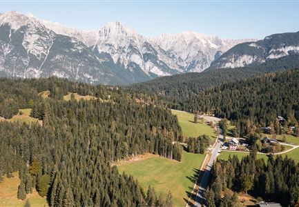
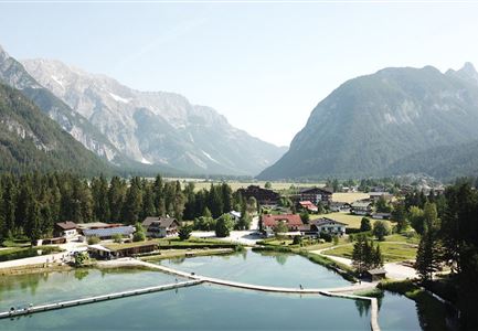
This relaxing village circular hike starts at the famous Seekirchl in Seefeld, a picturesque landmark and popular photo spot. From here, the path first leads over a charming wooden footbridge, past the Tennisstüberl and tennis courts, and continues alongside the soccer field to the modern Technical Center.

After a short underpass, the path opens up to the impressive Arena365. A special highlight is the detour to the WSC Tower, where you can enjoy breathtaking views of the surrounding mountains and the entire area. Nearby are the well-known Toni Seelos ski jumps, which remind visitors of Seefeld’s major competitions and sporting history.

The path then leads you comfortably back, past the cozy Sportalm, to the Village Center or directly to the starting point at Seekirchl, completing the circular hike.

Features & Characteristics

Start Point

Seefeld Seekirchl

End Point

Seefeld Seekirchl

Loop tour

Yes

Family-friendly

Yes

Stroller-friendly

Yes
Similar Tour Suggestions

Familie in der Region Seefeld - Spielen am Fluss - Leutascher Ache.jpg

Hiking

Hike to Unterleutasch Along the Achweg

Length

9,10 km

Duration

02:30 h

Uphill

3 hm

Downhill

77 hm

Altitude

1174 hm

Difficulty

Easy

Schausäge der Triendlsäge

Hiking

Circular walking path to the Inn Triendlsäge

Length

4,80 km

Duration

01:15 h

Uphill

101 hm

Altitude

1215 hm

Difficulty

Easy

Pfarrhuegel-in-Seefeld_WaLogo.jpg

Hiking

Village tour Pfarrhügel, Wildsee & Seekirchl

Length

4,70 km

Duration

01:30 h

Uphill

48 hm

Altitude

1208 hm

Difficulty

Easy

Höhenweg Leutasch_Aussichtsplattform Höhenweg_Pfarrkirche St. Magdalena und Ganghofermuseum.jpg

Hiking

Wheelchair Circular Hike Runst-Achweg

Length

6,30 km

Duration

02:00 h

Uphill

40 hm

Altitude

1130 hm

Difficulty

Easy

Partially open
Dorfrundwanderung Leutasch im Sommer.jpg

Hiking

Village tour Weidachsee – Leutascher Ache

Length

5,00 km

Duration

01:30 h

Uphill

50 hm

Altitude

1160 hm

Difficulty

Easy

Partially open
Drohnenaufnahme Hämmermoosalm bei Sonnenuntergangsstimmung.jpg

Hiking

Hike to the Hämmermoosalm

Length

4,00 km

Duration

01:30 h

Uphill

175 hm

Altitude

1417 hm

Difficulty

Easy

Wildmoosalm im Sommer - Hütte mit Kuh.jpg

Hiking

Hike to the Wildmoosalm alpine hut

Length

5,80 km

Duration

01:45 h

Uphill

131 hm

Altitude

1305 hm

Difficulty

Easy

Scharnitz - Wanderung zur Birzlkapelle - Kapelle mit Pausenbank.jpg

Hiking

Hike to the Birzlkapelle chapel

Length

4,60 km

Duration

01:30 h

Uphill

175 hm

Altitude

1130 hm

Difficulty

Easy