Start Point

Gießenbach North

End Point

Gießenbach South

Difficulty

Easy

Total Distance

2,00 km

Descent Meters

32 m

Highest Point

998 m

Status

Closed

Map & Elevation Profile

Start Point

Gießenbach North

End Point

Gießenbach South

Difficulty

Easy

Total Distance

2,00 km

Descent Meters

32 m

Highest Point

998 m

Status

Closed

Cross-country Skiing

Best Time

Closed

Jan

Feb

Mar

Apr

May

Jun

Jul

Aug

Sep

Oct

Nov

Dec

Ski-nordic-classic

Klassisch

This trail is freshly groomed every day. However, icy or slippery sections may still occur.

Trail Entry Point:
Access via A12 Scharnitz

Trail Character:
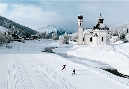
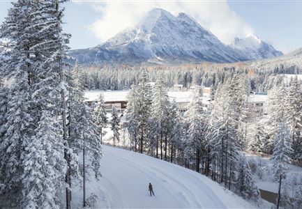
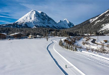
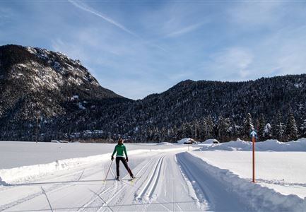
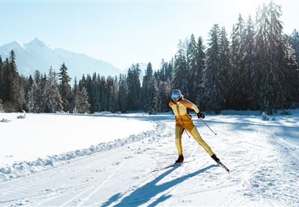
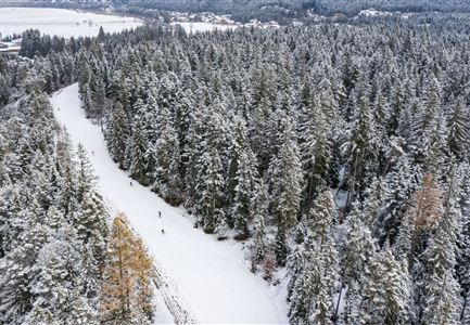
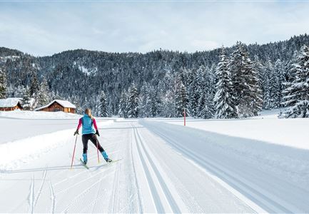
The A13 Scharnitz Classic is a short and easy circular cross-country trail on the outskirts of Scharnitz. Covering around 2 kilometers, it runs through flat, sunny terrain along the Gießenbach stream and is ideal for beginners, leisure skiers, and anyone looking for a relaxed training session or a short warm-up loop. Thanks to its clear layout and peaceful surroundings, it offers a pure nature experience – perfect for a gentle introduction to cross-country skiing on Tirols Hochplateau.
Note: Trail conditions may change throughout the day depending on the weather. Please be aware that icy patches or deep tracks may form. Adjust your skiing accordingly.

Connecting Trails:
A11 Bodenalm
For an overview of the entire cross-country network (including trail status) and helpful information such as ticket machines, waxing and service stations, and changing facilities, please check the trail report.

Features & Characteristics

Start Point

Gießenbach North

End Point

Gießenbach South

Klassisch

Yes

Similar Tour Suggestions

Neuschnee und Snowlarming Eröffnung-18.jpg

Cross-country Skiing

A6 - Alpenbad

Length

5,00 km

Uphill

20 hm

Altitude

1160 hm

Difficulty

Easy

Closed
Snowfarming Loipe Leutasch

Cross-country Skiing

A2 - Snowfarming track Leutasch

Length

2,80 km

Uphill

20 hm

Altitude

1150 hm

Difficulty

Easy

Closed
Loipe A5 Obern in Leutasch - Luftaufnahme (2).jpg

Cross-country Skiing

A5 - Obern

Length

5,30 km

Uphill

29 hm

Altitude

1177 hm

Difficulty

Easy

Closed
Loipe A9 Unterleutasch

Cross-country Skiing

A9 - Unterleutasch

Length

13,70 km

Uphill

81 hm

Altitude

1092 hm

Difficulty

Easy

Closed
Langlaufen in Seefeld - Langläufer auf der A1 beim Seekirchl in Seefeld - Tirols Hochplateau (1).jpg

Cross-country Skiing

A1 - Seekirchl Loipe

Length

3,00 km

Uphill

19 hm

Altitude

1189 hm

Difficulty

Easy

Closed
Langlaufloipe A11

Cross-country Skiing

A11 - Bodenalm

Length

10,70 km

Uphill

60 hm

Altitude

1037 hm

Difficulty

Easy

Closed
Seefeld Nachtloipe A7 mit Seekirchl zur Blauen Stunde.jpg

Cross-country Skiing

A1 - Nachtloipe - flood light trail

Length

3,00 km

Uphill

19 hm

Altitude

1189 hm

Difficulty

Easy

Closed
Loipe A7 Gasse mit Langlaeuferin.jpg

Cross-country Skiing

A7 - Gasse

Length

4,70 km

Uphill

37 hm

Altitude

1121 hm

Difficulty

Easy

Closed