Start Point

Car park at the Scharnitz Sports Complex

End Point

Car park at the Scharnitz Sports Complex

Difficulty

Easy

Total Distance

10,70 km

Descent Meters

60 m

Highest Point

1037 m

Status

Closed

Map & Elevation Profile

Start Point

Car park at the Scharnitz Sports Complex

End Point

Car park at the Scharnitz Sports Complex

Difficulty

Easy

Total Distance

10,70 km

Descent Meters

60 m

Highest Point

1037 m

Status

Closed

Cross-country Skiing

Best Time

Closed

Jan

Feb

Mar

Apr

May

Jun

Jul

Aug

Sep

Oct

Nov

Dec

Adaptive nordic skiing

Ski-nordic-classic

This trail is freshly groomed every day. However, icy and slippery sections may still occur.

Trail Entry Point:
Car park at the Scharnitz Sports Complex

Trail Character:
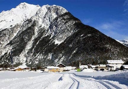
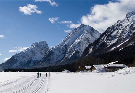
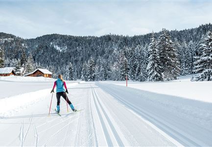
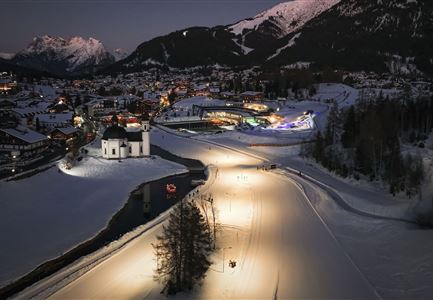
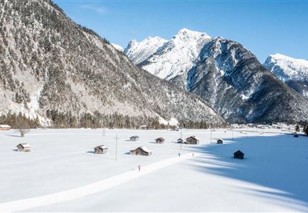
The A11 Bodenalm Trail is an easy loop suitable for both classic and skating techniques. It is approximately 10.7 kilometres long with an elevation gain of 60 metres. The route runs mostly flat across meadows and through forest sections, starting in Scharnitz and heading in the direction of Seefeld, passing the Bodenalm and looping back. The trail can be shortened if needed before crossing the main road in Gießenbach.
Note: Since the trail runs through a shaded hollow, snow and trail conditions can vary. Be aware of icy patches or deep ruts and adjust your skiing accordingly. While the Bodenalm lies directly along the route, it is not open for service in winter. A rest stop is available at Gasthof Ramona in Gießenbach.

Connecting trails:
A12 Scharnitz and B9 Triendlsäge
An overview of the entire cross-country skiing network (incl. trail status) and helpful cross-country skiing information (ticket machines, waxing and service points, changing facilities,

Features & Characteristics

Stamina

Technique

Start Point

Car park at the Scharnitz Sports Complex

End Point

Car park at the Scharnitz Sports Complex

Skating

Yes

Klassisch

Yes

Barrier-free/adaptive cross-country skiing

Yes
Similar Tour Suggestions

Loipe A8 Lehner mit Langlaeuferin

Cross-country Skiing

A8 - Lehner

Length

1,90 km

Uphill

23 hm

Altitude

1100 hm

Difficulty

Easy

Closed
Neuschnee und Snowlarming Eröffnung-18.jpg

Cross-country Skiing

A6 - Alpenbad

Length

5,00 km

Uphill

20 hm

Altitude

1160 hm

Difficulty

Easy

Closed
Luftaufnahme der Loipe A10 Weidach mit Langlaeuferin und Hoher Munde.jpg

Cross-country Skiing

A10 – Weidach

Length

1,70 km

Uphill

14 hm

Altitude

1120 hm

Difficulty

Easy

Closed
Loipe A9 Unterleutasch

Cross-country Skiing

A9 - Unterleutasch

Length

13,70 km

Uphill

81 hm

Altitude

1092 hm

Difficulty

Easy

Closed
Loipe A7 Gasse mit Langlaeuferin.jpg

Cross-country Skiing

A7 - Gasse

Length

4,70 km

Uphill

37 hm

Altitude

1121 hm

Difficulty

Easy

Closed
Langlaufen-A4-Muggenmoos-Loipe---Buchen

Cross-country Skiing

A4 - Muggenmoos

Length

1,60 km

Uphill

15 hm

Altitude

1262 hm

Difficulty

Easy

Closed
Loipe A5 Obern in Leutasch - Luftaufnahme (2).jpg

Cross-country Skiing

A5 - Obern

Length

5,30 km

Uphill

29 hm

Altitude

1177 hm

Difficulty

Easy

Closed
Loipe A12 - Scharnitz - Luftaufnahme

Cross-country Skiing

A12 - Scharnitz

Length

3,40 km

Uphill

20 hm

Altitude

980 hm

Difficulty

Easy

Closed