We use cookies for your personalized browsing experience, to personalize content and ads, to provide social media features, and to analyze traffic to our website. We also share information about your use of our website with our social media, advertising and analytics partners. Our partners may combine this information with other data that you have provided to them or that they have collected as part of your use of the Services. (incl. US providers)

Start Point

Leutasch - Ahrn

End Point

Ahrn Leutasch

Difficulty

Easy

Total Distance

13,70 km

Descent Meters

81 m

Highest Point

1092 m

Status

Closed

Map & Elevation Profile

Start Point

Leutasch - Ahrn

End Point

Ahrn Leutasch

Difficulty

Easy

Total Distance

13,70 km

Descent Meters

81 m

Highest Point

1092 m

Status

Closed

Cross-country Skiing

Best Time

Closed

Jan

Feb

Mar

Apr

May

Jun

Jul

Aug

Sep

Oct

Nov

Dec

Ski-nordic-skating

Ski-nordic

+6

Access to the ski track:

Ahrn

Connected tracks:

A7 | A8 | A14

An overview of the entire cross-country skiing network (incl. trail status) and helpful cross-country skiing information (ticket machines, waxing and service points, changing facilities, ...) can be found in the cross-country skiing report.

Track characteristics:

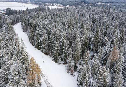
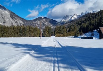
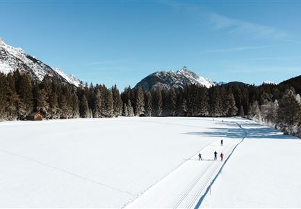
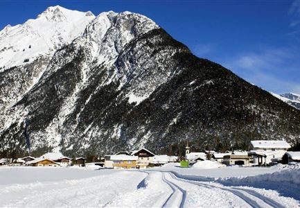
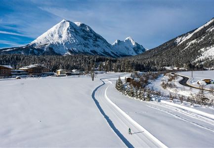
The ‘Unterleutasch’ trail leads down the valley, alongside the stream in parts, over several bridges at the foot of the majestic Ahrnspitze and Ahrnplattenspitze mountains. It gently slopes down to Burggraben before turning at the Gasthof Mühle then continuing slightly uphill back to Ahrn. When the wind is coming from behind you hardly notice the incline. The A9 Unterleutasch trail, a fantastic circuit with stunning scenery, is also suitable for beginners. An almost-hourly bus service runs from the restaurants Gasthof Mühle, Zur Brücke or Reiterklause back to Ahrn. This trail is suitable for adaptive cross-country skiing.

Information:

A9 is part of the famous Ganghofer race.

Adaptive cross-country skiing is possible!

Refreshment stops:

Gasthof Zur Mühle, Gasthof Brücke, Hubertushof

Public transport:

The fastest public connection to the start of the cross-country skiing trail can be found directly in our route planner. Take the regional/ski bus to the stop

Read More...

Features & Characteristics

Start Point

Leutasch - Ahrn

End Point

Ahrn Leutasch

Barrier-free/adaptive cross-country skiing

Yes
Skating

Yes

Klassisch

Yes

Similar Tour Suggestions

B12 Abzweigung B1-B12

Cross-country Skiing

B12 - Mösern Ortszentrum

Length

1,00 km

Uphill

23 hm

Altitude

1248 hm

Difficulty

Medium

Closed
(c)Olympiaregion-Seefeld-Sebastian-Marko-Ganghoferlauf-Leutasch-(76).jpg

Cross-country Skiing

Race Euroloppet Ganghoferlauf - classic 25 km

Length

25,00 km

Uphill

253 hm

Altitude

1226 hm

Difficulty

Hard

Klassische Langlauf Spur

Cross-country Skiing

B8 - Interalpen Connection West

Length

400 m

Uphill

24 hm

Altitude

1342 hm

Difficulty

Medium

Closed
Langlaufloipe A11

Cross-country Skiing

A11 - Bodenalm

Length

10,70 km

Uphill

60 hm

Altitude

1037 hm

Difficulty

Easy

Closed
B4 Loipeneinstieg Skatingzentrum Leutasch

Cross-country Skiing

B4 - Skatingzentrum

Length

1,20 km

Uphill

39 hm

Altitude

1205 hm

Difficulty

Medium

Closed
Loipe A8 Lehner mit Langlaeuferin und Blick auf Gehrenspitze und Oefelekopf im Wetterstein

Cross-country Skiing

A8 - Lehner

Length

1,90 km

Uphill

23 hm

Altitude

1100 hm

Difficulty

Easy

Closed
Loipe B11 Waldloipe Drohne

Cross-country Skiing

B11 – Waldloipe

Length

2,70 km

Uphill

51 hm

Altitude

1183 hm

Difficulty

Medium

Closed
Luftaufnahme Loipe A2

Cross-country Skiing

A2 - Lenerwiese

Length

1,30 km

Uphill

11 hm

Altitude

1183 hm

Difficulty

Easy

Closed