Start Point
Ganghoferbogen next to the soccer field
End Point
Ganghoferbogen next to the soccer field
Difficulty
Easy
Total Distance
4,70 km
Descent Meters
37 m
Highest Point
1121 m
Status
Cross-country Skiing
Best Time
Jan
Feb
Mar
Apr
May
Jun
Jul
Aug
Sep
Oct
Nov
Dec
Adaptive nordic skiing
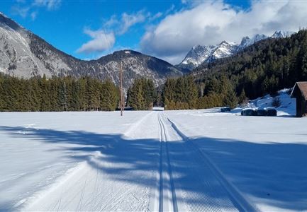
This trail is freshly groomed every day. However, icy and slippery sections may still occur.
Trail Entry Point:
At the Ganghofer Arch in Weidach (opposite of the soccer field)
Trail Character:
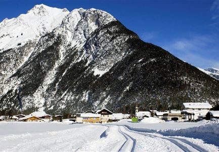
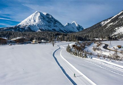
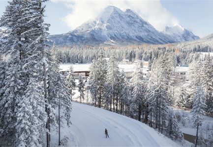
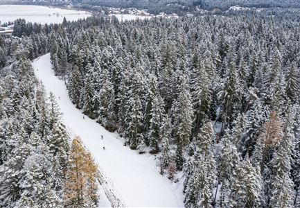
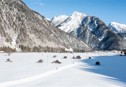
The A7 Gasse trail is flat and very sunny, making it ideal for beginners as there are no climbs or descents. It offers idyllic views, inviting skiers to fully enjoy the picturesque landscape. Along the route, there is an underpass below the main road, leading to the lower Gasse. From here, the trail follows the Ache river up to the turnaround point in Ahrn, where you can either continue towards Unterleutasch or head back towards the starting point.
Just after Poli’s Hütte, which is a cozy, sunlit spot to take a break, the route returns to the upper Gasse and the Ganghoferbogen.
Note: The road needs to be crossed on foot at this point.
The loop can also be shortened before reaching the main road via a connecting trail (approx. 1 km).
Connecting Trails:
A9 Unterleutasch, A6 Alpenbad, and C9 Plaik. For an overview of the entire
Features & Characteristics
Stamina
Technique
Start Point
Ganghoferbogen next to the soccer field
End Point
Ganghoferbogen next to the soccer field
Skating
Yes
Klassisch
Yes
Family-friendly
Yes
Barrier-free/adaptive cross-country skiing
Yes
