Start Point

Mösern

End Point

Ortszentrum Mösern

Difficulty

Medium

Total Distance

1,00 km

Descent Meters

23 m

Highest Point

1248 m

Status

Closed

Map & Elevation Profile

Start Point

Mösern

End Point

Ortszentrum Mösern

Difficulty

Medium

Total Distance

1,00 km

Descent Meters

23 m

Highest Point

1248 m

Status

Closed

Cross-country Skiing

Best Time

Closed

Jan

Feb

Mar

Apr

May

Jun

Jul

Aug

Sep

Oct

Nov

Dec

Ski-nordic

Ski-nordic-classic

Access to the ski track:

Chapel of Mösern via B1.

Connected track:

B1

An overview of the entire cross-country skiing network (incl. trail status) and helpful cross-country skiing information (ticket machines, waxing and service points, changing facilities, ...) can be found in the cross-country skiing report.

Track characteristics:

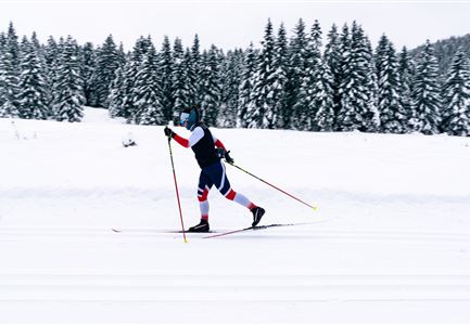
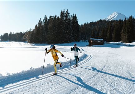
The B12 trail is an access trail that links the village of Mösern to the region’s network of cross-country trails.

Information:

Caution is advised on exposed sections where iciness can occur during the late winter season. Watch out for skiers coming in the opposite direction!

Public transport:

The fastest public connection to the start of the cross-country skiing trail can be found directly in our route planner. Take the regional/ski bus to the stop "Mösern Kirche" (free bus use with guest card or cross-country skiing ticket). You can find all connections in real time with the Mobility-App "wegfinder".

Parking facility:

P2

Emergency call:

Tel.: 140

Features & Characteristics

Stamina

Technique

Start Point

Mösern

End Point

Ortszentrum Mösern

Klassisch

Yes

Similar Tour Suggestions

B13 Loipe - Moeserer See-Richtung Lottensee.jpg

Cross-country Skiing

B13 - Lottensee-Möserer See

Length

2,90 km

Uphill

97 hm

Altitude

1325 hm

Difficulty

Medium

Closed
Klassische Langlauf Spur.jpg

Cross-country Skiing

B6 - Interalpen Connection East

Length

500 m

Uphill

13 hm

Altitude

1342 hm

Difficulty

Medium

Closed
B1-Loipe-Moesern.jpg

Cross-country Skiing

B1 - Mösern

Length

5,50 km

Uphill

110 hm

Altitude

1228 hm

Difficulty

Medium

Closed
Loipe bei der Ropferstub'm mit Blick ins Inntal - Moesern-Buchen.jpg

Cross-country Skiing

B5 - Katzenloch

Length

5,00 km

Uphill

67 hm

Altitude

1260 hm

Difficulty

Medium

Closed
Drohnenbild Top Down einzelner Läufer in Lücke zwischen Bäumen.jpg

Cross-country Skiing

B14 – Waldloipe Alpenbad

Length

1,10 km

Uphill

10 hm

Altitude

1160 hm

Difficulty

Medium

Closed
B7 Panoramaloipe Klassisch.jpg

Cross-country Skiing

B7 - Panorama

Length

2,40 km

Uphill

62 hm

Altitude

1220 hm

Difficulty

Medium

Closed
Langlaufen in der Region Seefeld - Klassisch - Ferienheim Wildmoos (3).jpg

Cross-country Skiing

B3 - Wildmoos See

Length

2,90 km

Uphill

49 hm

Altitude

1331 hm

Difficulty

Medium

Closed
B4 Loipeneinstieg Skatingzentrum Leutasch.jpg

Cross-country Skiing

B4 - Skatingzentrum

Length

1,20 km

Uphill

39 hm

Altitude

1205 hm

Difficulty

Medium

Closed