We use cookies for your personalized browsing experience, to personalize content and ads, to provide social media features, and to analyze traffic to our website. We also share information about your use of our website with our social media, advertising and analytics partners. Our partners may combine this information with other data that you have provided to them or that they have collected as part of your use of the Services. (incl. US providers)

Start Point

Leutasch Ahrn parking area (P6)

End Point

Leutasch Ahrn parking area (P6)

Difficulty

Hard

Total Distance

11,50 km

Descent Meters

1353 m

Ascent Meters

1353 m

Highest Point

2196 m

Total Time

08:30 h

Map & Elevation Profile

Start Point

Leutasch Ahrn parking area (P6)

End Point

Leutasch Ahrn parking area (P6)

Difficulty

Hard

Total Distance

11,50 km

Descent Meters

1353 m

Ascent Meters

1353 m

Highest Point

2196 m

Total Time

08:30 h

Hiking

Best Time

Jan

Feb

Mar

Apr

May

Jun

Jul

Aug

Sep

Oct

Nov

Dec

Hiking tour

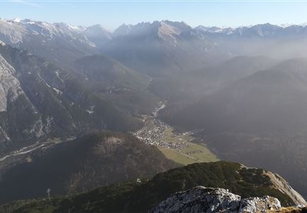
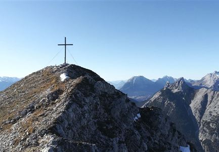
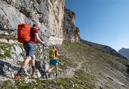
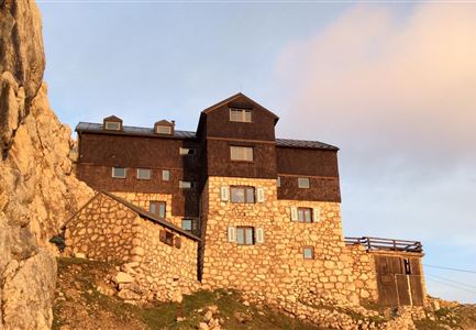
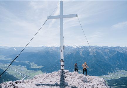
Route: Leutasch / Ahrn - Hoher Sattel - Arnspitzhütte - Große Arnspitze - Mittlere Arnspitze - Arnplattenspitze - Hoher Sattel - Leutasch/Ahrn.

The given direction is recommended. The crossing can also be done in other direction.

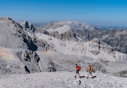
Long, difficult alpine tour with climbing passages in grade 3-, which requires excellent physical condition.

Parking and public transport:

P6 "parking lot Hoher Sattel".

By train to Seefeld train station and continue with the Regiobus to the stop "Leutasch Ahrn".

You can find all connections in real time with the Mobility-App "wegfinder".

Directions:

Only recommended for very experienced climbers, because the route is marked (red dots) but not secured. There are some climbing passages in grade 3- to overcome. Climbing harness, rope and helmet are necessary for self-securing.


From the parking lot (P6) in the Ahrn district, follow the forest road to the Hohe Sattel. It is recommended to ride your bike up there. From the Hohen Sattel continue by foot, always following the signs in the direction of Große Arnspitze. The path quickly turns into a steep climb through gravelly terrain. From the unserviced hut it takes about 50 minutes to reach the summit of the Große Arnspitze. From the summit descend again a few meters,

Read More...

Features & Characteristics

Start Point

Leutasch Ahrn parking area (P6)

End Point

Leutasch Ahrn parking area (P6)

Similar Tour Suggestions

Kristenalm

Hiking

Bike & Hike Kristenalm

Length

25,00 km

Duration

04:00 h

Uphill

420 hm

Altitude

1249 hm

Difficulty

Medium

Falkenhütte neu

Hiking

Karwendelmarsch 52 km

Length

52,00 km

Duration

19:00 h

Uphill

2281 hm

Downhill

2217 hm

Altitude

1903 hm

Difficulty

Hard

Sonnenuntergang Hohe Munde_Ostgipfel

Hiking

Hike Hohe Munde Summit, 2.592 m

Length

11,30 km

Duration

09:00 h

Uphill

1410 hm

Altitude

2562 hm

Difficulty

Hard

Fischerrei am Weidachsee - Leutasch

Hiking

Circular walk around Weidachsee lake

Length

3,80 km

Duration

01:00 h

Uphill

46 hm

Altitude

1156 hm

Difficulty

Easy

Gravelbike - Zum Isarursprung.jpg

Hiking

Bike & Hike Hoher Gleirsch Summit, 2,492 m

Length

31,00 km

Duration

09:30 h

Uphill

1772 hm

Altitude

2492 hm

Difficulty

Hard

Ausblick von der Arnplattenspitze auf die Gehrenspitze, Hohe Munde

Hiking

Circular hike Arnplattenspitze, 2,171 m

Length

8,60 km

Duration

07:00 h

Uphill

1106 hm

Altitude

2171 hm

Difficulty

Hard

Partially open
Karwendelmarsch 2018 (13).jpg

Hiking

Karwendel March 35 km

Length

35,00 km

Duration

12:30 h

Uphill

1664 hm

Downhill

1358 hm

Altitude

1843 hm

Difficulty

Hard

Wanderung zur Scharnitzer Alm - Scharnitzer Alm mit Tannenzweigen im Vordergrund.jpg

Hiking

Circular hiking trail Scharnitzer alpine hut

Length

5,70 km

Duration

01:30 h

Uphill

130 hm

Altitude

1022 hm

Difficulty

Easy