Start Point

Information office Reith

End Point

Information office Reith

Difficulty

Medium

Total Distance

4,60 km

Descent Meters

109 m

Ascent Meters

110 m

Highest Point

1129 m

Total Time

00:35 h

Map & Elevation Profile

Start Point

Information office Reith

End Point

Information office Reith

Difficulty

Medium

Total Distance

4,60 km

Descent Meters

109 m

Ascent Meters

110 m

Highest Point

1129 m

Total Time

00:35 h

Cycling

Best Time

Jan

Feb

Mar

Apr

May

Jun

Jul

Aug

Sep

Oct

Nov

Dec

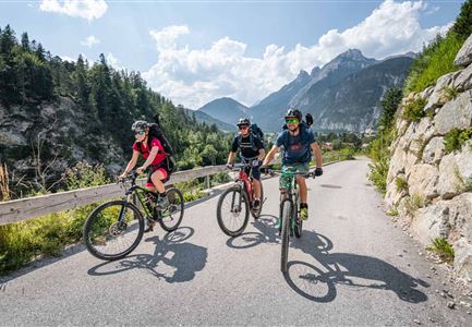
Mountainbike tour

Loop tour

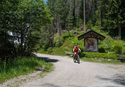
The tour starts at the Information Office Reith - turn right from here into Römerstraße and follow it through the village. At the end of the village, just before the underpass, turn left into the Kalktalweg and follow it until the asphalt road joins a gravel road. Follow the gravel road (parallel to the railway tracks on the right side) until you reach the ÖBB train station Leithen. Then turn right through the underpass and follow the Kobesbichlweg downhill until you reach the main road. After crossing the main road, follow the Leithener Wiesenweg until it leads into a gravel path. Follow the forest path parallel to the main road until you reach the village of Reith again. At the junction, which leads into Niederwiesenweg, you turn right and go steeply uphill through the underpasses of the main road and the railway tracks until you reach Lauserweg. Follow the Lauserweg to Römerstraße, where you will find the information office Reith on the right-hand side.To get back to the starting point / parking lot, take the same way back.

Attention pasture cattle, please keep distance and cross the pasture area calmly and quickly.

Similar Tour Suggestions

Bike Tour durchs Karwendeltal aufs Karwendelhaus - Scharnitz (11).jpg

Cycling

Biketour No. 579 Gleirschtal-Möslalm

Length

22,60 km

Duration

02:30 h

Uphill

392 hm

Altitude

1272 hm

Difficulty

Medium

Leutascher Ache im Sommer mit Blick auf die Hohe Munde - Weidach - 1350x1080.jpg

Cycling

Biketour Arnspitzrunde

Length

33,10 km

Duration

03:30 h

Uphill

377 hm

Altitude

1220 hm

Difficulty

Medium

Wildmoosalm im Sommer - Hütte mit Kuh.jpg

Cycling

Gravelbiketour Wildmoos

Length

20,00 km

Duration

03:15 h

Uphill

450 hm

Altitude

1510 hm

Difficulty

Medium

Gravelbiker auf dem Radweg zum Brunschkopf im Sommer (2).jpg

Cycling

Biketour No. 544 Mösern-Wildmoos around the Brunschkopf

Length

11,50 km

Duration

01:30 h

Uphill

300 hm

Altitude

1387 hm

Difficulty

Medium

Wildmoos Buchen Ropferstubm

Cycling

Biketour No. 5067 Salzbach-Ropferstub'm

Length

16,40 km

Duration

01:00 h

Uphill

472 hm

Downhill

469 hm

Altitude

1312 hm

Difficulty

Medium

Gravelbiker bei der Wildmoosalm im Sommer (4).jpg

Cycling

Biketour No. 547 Wildmoos-Buchen

Length

8,80 km

Duration

00:25 h

Uphill

184 hm

Downhill

183 hm

Altitude

1346 hm

Difficulty

Medium

Muggenmoosalm bei Leutasch im Sommer - Drohnenaufnahme.jpg

Cycling

Biketour No. 5048 Muggenmoosalm

Length

14,80 km

Duration

01:45 h

Uphill

326 hm

Downhill

323 hm

Altitude

1370 hm

Difficulty

Medium

Seebensee mit Raeder im Vordergrund

Cycling

Biketour No. 551 Seebensee

Length

27,60 km

Duration

01:40 h

Uphill

561 hm

Downhill

557 hm

Altitude

1581 hm

Difficulty

Medium