Start Point

Information office Scharnitz (P2)
End Point

Information office Scharnitz (P2)
Difficulty

Medium

Total Distance

22,60 km

Descent Meters

392 m

Ascent Meters

392 m

Highest Point

1272 m

Total Time

02:30 h

Map & Elevation Profile

Start Point

Information office Scharnitz (P2)
End Point

Information office Scharnitz (P2)
Difficulty

Medium

Total Distance

22,60 km

Descent Meters

392 m

Ascent Meters

392 m

Highest Point

1272 m

Total Time

02:30 h

Cycling

Best Time

Jan

Feb

Mar

Apr

May

Jun

Jul

Aug

Sep

Oct

Nov

Dec

Mountainbike tour

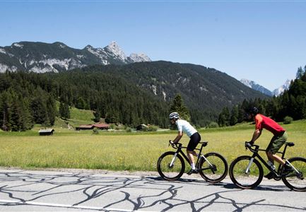
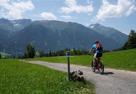
Comfortable tour with a short, steep ascent, on good forest paths through the beautiful valley Gleirschtal.

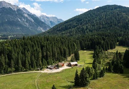
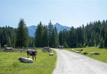
The route starts at the Scharnitz Information Centre  and follows a low-traffic, asphalted municipal road for the first 1.5 km. Shortly before the Isarlodge Wiesenhof, the well-drivable forest path begins straight ahead over the Gleirschhöhe to the junction Gleirschtal in approx. 4.5 km. After a rapid descent and crossing of the Isar, the ascent follows - the so-called "Krapfen". This is the only part where endurance and stamina are required. After reaching the Gleirschtalanhöhe, passing magnificent alpine pastures, you reach a junction, where you continue in the direction of the Möslalm. At the next junction you can either drive straight ahead or keep right and after a short steep ascent you will reach the Möslalm. Now you have earned a hearty and tasty meal at the rustic Möslalm.

Starting point for various mountain tours, e.g. to the Hohe Gleirsch. Continuation from the Möslalm to the Pfeishütte possible (very steep), see route description 581. Back on the same path.

Features & Characteristics

Start Point

Information office Scharnitz (P2)
End Point

Information office Scharnitz (P2)
Videos

Similar Tour Suggestions

Wildmoos (c) Anna Rieder

Cycling

Biketour No. 5069 Seefeld-Wildmoos

Length

6,30 km

Duration

00:30 h

Uphill

122 hm

Downhill

120 hm

Altitude

1308 hm

Difficulty

Medium

Pfarrkirche im Sommer - Moesern

Cycling

Biketour No. 5068 Mösern-Brunschkopf

Length

8,90 km

Duration

01:00 h

Uphill

281 hm

Altitude

1496 hm

Difficulty

Medium

Möserer See im Frühling - Paar auf Liege vor Möserer Seestube von aus der Entfernung.jpg

Cycling

Biketour Seefeld - Mösern - Wildmoos - Katzenkopf - Fludertal - Seefeld

Length

27,20 km

Duration

04:00 h

Uphill

657 hm

Downhill

651 hm

Altitude

1368 hm

Difficulty

Medium

Leutascher Ache im Sommer mit Blick auf die Hohe Munde - Weidach - 1350x1080.jpg

Cycling

Biketour Arnspitzrunde

Length

33,00 km

Duration

03:30 h

Uphill

380 hm

Altitude

1220 hm

Difficulty

Medium

Leutascher Ache im Sommer - Drohnenaufnahme Kurve im Fluss (1).jpg

Cycling

Biketour - Adventure Ride

Length

48,50 km

Duration

05:00 h

Uphill

1071 hm

Altitude

1510 hm

Difficulty

Medium

E-Bike-Pause-bei-Huette.jpg

Cycling

Bike-connection No. 546 Mösern-Seefeld

Length

10,10 km

Duration

00:30 h

Uphill

207 hm

Altitude

1292 hm

Difficulty

Medium

E-Biken auf die Hämmermoosalm

Cycling

Biketour No. 5047 Gaistal-Hämmermoosalm

Length

3,90 km

Duration

00:30 h

Uphill

171 hm

Altitude

1417 hm

Difficulty

Medium

Wildmoos Buchen Ropferstubm

Cycling

Biketour No. 5067 Salzbach-Ropferstub'm

Length

16,40 km

Duration

02:00 h

Uphill

472 hm

Altitude

1312 hm

Difficulty

Medium