We use cookies for your personalized browsing experience, to personalize content and ads, to provide social media features, and to analyze traffic to our website. We also share information about your use of our website with our social media, advertising and analytics partners. Our partners may combine this information with other data that you have provided to them or that they have collected as part of your use of the Services. (incl. US providers)

Start Point

Ehrwald

End Point

Scharnitz
Difficulty

Medium

Total Distance

40,00 km

Descent Meters

990 m

Ascent Meters

1020 m

Highest Point

1590 m

Map & Elevation Profile

Start Point

Ehrwald

End Point

Scharnitz
Difficulty

Medium

Total Distance

40,00 km

Descent Meters

990 m

Ascent Meters

1020 m

Highest Point

1590 m

Cycling

Best Time

Jan

Feb

Mar

Apr

May

Jun

Jul

Aug

Sep

Oct

Nov

Dec

Mountainbike tour

Route: Ehrwalder Almbahn - Erhwalder Alm - Tillfussalm - Gaistalalm - Klamm - Oberweidach - Lake Weidachsee - Fluder valley - Giessenbach - Scharnitz

Route description:

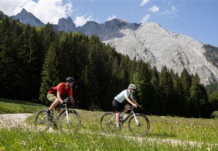
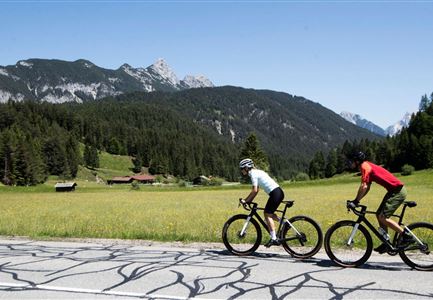
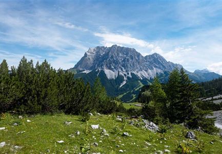
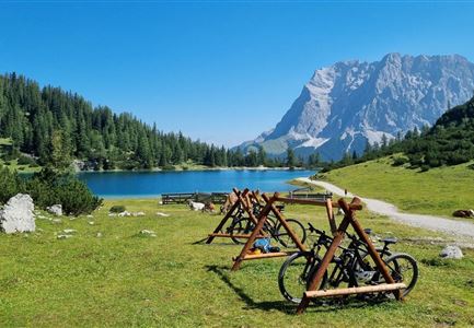
First you cycle slightly uphill to the valley station of the Ehrwalder Almbahn. From here, the route continues uphill on route no. 813 to the Ehrwalder Alm (1.5h from Ehrwald). Alternatively, you can use the gondola lift. From the Ehrwalder Alm, continue uphill along the main trail, in two hairpin bends to the highest point at 1,600m above sea level. Shortly after, at the prominent turnoff to the Seeben Alm, keep left in the direction of Leutasch (551). During a detour to the Tillfussalm or Gaistalalm you will be rewarded with an impressive view of the steeply sloping north walls of the Mieminger chain.

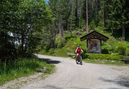
Continue on the main trail through the Gaistal, past the toll booth, to the Leutasch district of Klamm. Here you cycle over the bridge to Obern and orient yourself at the "Hotel Bergland". Now take the next road towards Leutasch Oberweidach (2h from Ehrwalder Alm). The path soon leads into the forest and again you cross a road, then you turn left into a forest

Read More...

Features & Characteristics

Similar Tour Suggestions

Symbolbild Biken

Cycling

Biketour No. 5049 Reith-Kaiserstandrunde

Length

6,20 km

Uphill

248 hm

Altitude

1327 hm

Difficulty

Hard

Gravelbiken am Oberen Achweg - Fahrt entlang des Flusses.jpg

Cycling

Biketour Arnspitzrunde

Length

33,10 km

Uphill

377 hm

Altitude

1220 hm

Difficulty

Medium

Gravelbiken in der Region Seefeld (5).jpg

Cycling

Radwanderroute: Scharnitz - Seefeld - Reith

Length

18,50 km

Uphill

320 hm

Downhill

140 hm

Altitude

1200 hm

Difficulty

Easy

Scharnitz - Wanderung Dorfrunde - Biker am Weg von Scharnitz nach Gießenbach (2).jpg

Cycling

Radwanderroute: Reith - Seefeld - Scharnitz

Length

18,50 km

Uphill

140 hm

Downhill

320 hm

Altitude

1200 hm

Difficulty

Easy

Gaistal

Cycling

Biketour Tillfussalm alpine hut

Length

9,60 km

Uphill

174 hm

Altitude

1358 hm

Difficulty

Easy

Bike-Tour-durchs-Karwendeltal-aufs-Karwendelhaus

Cycling

Bike Trail Tirol Etappe 07: Scharnitz-Achensee

Length

61,50 km

Uphill

1850 hm

Downhill

1880 hm

Altitude

1800 hm

Difficulty

Hard

Gaistal-Hochfeldernalm (c) Anna Rieder

Cycling

Biketour No. 552 Gaistal-Hochfeldern Alm

Length

11,20 km

Uphill

560 hm

Downhill

30 hm

Altitude

1732 hm

Difficulty

Hard

Gravelbiker auf der Aussichtsplattform Brunschkopf im Sommer - Seefeld

Cycling

Biketour No. 5068 Mösern-Brunschkopf

Length

4,50 km

Uphill

268 hm

Downhill

4 hm

Altitude

1510 hm

Difficulty

Medium