We use cookies for your personalized browsing experience, to personalize content and ads, to provide social media features, and to analyze traffic to our website. We also share information about your use of our website with our social media, advertising and analytics partners. Our partners may combine this information with other data that you have provided to them or that they have collected as part of your use of the Services. (incl. US providers)

Start Point

Mösern Information Office

End Point

Mösern Information Office

Difficulty

Medium

Total Distance

11,50 km

Descent Meters

300 m

Ascent Meters

300 m

Highest Point

1387 m

Total Time

01:30 h

Map & Elevation Profile

Start Point

Mösern Information Office

End Point

Mösern Information Office

Difficulty

Medium

Total Distance

11,50 km

Descent Meters

300 m

Ascent Meters

300 m

Highest Point

1387 m

Total Time

01:30 h

Cycling

Best Time

Jan

Feb

Mar

Apr

May

Jun

Jul

Aug

Sep

Oct

Nov

Dec

Mountainbike tour

Loop tour

"Short but nice" and above all family-friendly: The Brunschkopf tour!

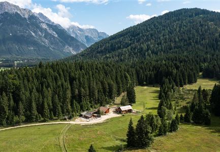
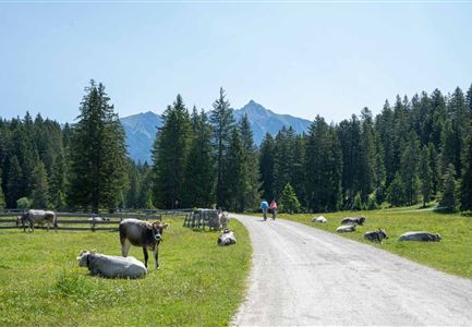
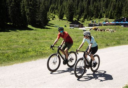
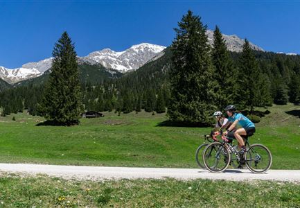
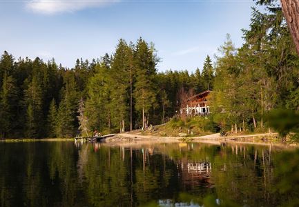
This moderately difficult route (No. 544 Mösern-Wildmoos) offers a lot of scenic variety: meadows, forests, mountains, breathtaking views of the Inn and Gaistal valleys, and opportunities for refreshments. With some luck, you may even see three lakes (two of which are aperiodic and not always visible).

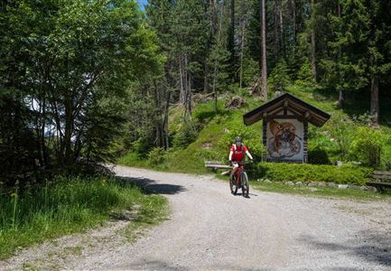
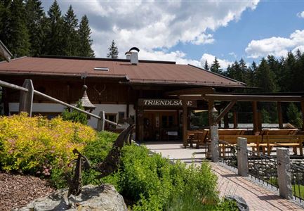
The loop starts directly at the Mösern Information Office and initially follows paved municipal roads to the Möserer See. The path is a bit steeper until you reach the lake, but after that, only short, moderately steep sections remain on a wide and well-maintained gravel road. The section between the picturesque Lottenseehütte and the rustic Wildmoosalm is partially paved, but otherwise, a wide forest path is available. From the Wildmoosalm, the route leads along the south side of the Brunschkopf through dense forest in the Wildmoos area back to the Möserer See and the starting point in the center of Mösern.

The entire loop is considered one of the safest in the region in terms of path conditions. As this is a very popular hiking and

Read More...

Features & Characteristics

Start Point

Mösern Information Office

End Point

Mösern Information Office

Loop tour

Yes

Similar Tour Suggestions

Seebensee mit Raeder im Vordergrund

Cycling

Biketour No. 551 Seebensee

Length

27,60 km

Duration

01:40 h

Uphill

561 hm

Downhill

557 hm

Altitude

1581 hm

Difficulty

Medium

Radfahrerinnen bei herbstlichem Wetter auf dem Weg zur Gaistalalm (1).jpg

Cycling

Biketour Gaistalalm alpine hut

Length

4,00 km

Duration

00:30 h

Uphill

136 hm

Downhill

30 hm

Altitude

1356 hm

Difficulty

Easy

Gravelbiker auf der Strasse zwischen Seefeld und Leutasch -Abfahrt

Cycling

Bike-connection No. 5052 Seefeld-Leutasch

Length

15,00 km

Duration

00:45 h

Uphill

271 hm

Altitude

1221 hm

Difficulty

Medium

Wildmoosalm im Sommer - Hütte mit Kuh.jpg

Cycling

Gravelbiketour Wildmoos

Length

20,00 km

Duration

03:15 h

Uphill

450 hm

Altitude

1510 hm

Difficulty

Medium

Leutascher Ache im Sommer mit Blick auf die Hohe Munde - Weidach - 1350x1080.jpg

Cycling

Biketour Arnspitzrunde

Length

33,10 km

Duration

03:30 h

Uphill

377 hm

Altitude

1220 hm

Difficulty

Medium

Kapelle unterhalb vom Karwendelhaus - Scharnitz

Cycling

Bike Trail Tirol Etappe 07: Scharnitz-Achensee

Length

61,50 km

Duration

06:00 h

Uphill

1850 hm

Downhill

1880 hm

Altitude

1800 hm

Difficulty

Hard

Muggenmoosalm bei Leutasch im Sommer - Drohnenaufnahme.jpg

Cycling

Biketour No. 5048 Muggenmoosalm

Length

14,80 km

Duration

01:45 h

Uphill

326 hm

Downhill

323 hm

Altitude

1370 hm

Difficulty

Medium

Gravelbiker auf dem Radweg durch das Leutaschtal im Sommer

Cycling

Biketour No. 537 through the Leutasch valley

Length

32,46 km

Duration

01:10 h

Uphill

200 hm

Downhill

205 hm

Altitude

1236 hm

Difficulty

Easy