Start Point
Valley Station Rosshütte
End Point
Seefeld Pedestrian Zone
Difficulty
Medium
Total Distance
21,50 km
Descent Meters
773 m
Ascent Meters
815 m
Highest Point
1616 m
Total Time
06:30 h
Hiking
Best Time
Jan
Feb
Mar
Apr
May
Jun
Jul
Aug
Sep
Oct
Nov
Dec
Circular hike
Hiking tour
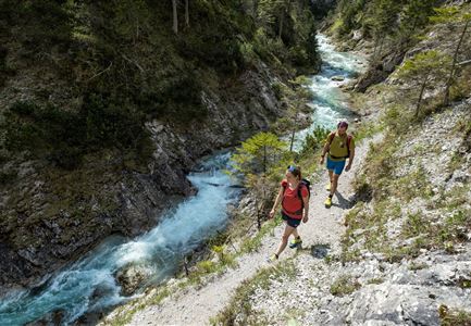
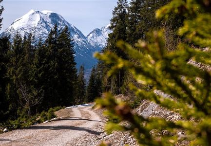
The tour starts at the valley station of the Rosshütte. From here, follow the Römerweg, then continue on the Hirnweg over the Ankerschlag to Gießenbach. Cross the road and the small stream to reach the Sattelsteig. This trail leads through beautiful forest sections and small clearings before finally reaching Leutasch. From there, follow the well-marked paths back to Seefeld’s pedestrian zone.
Alternative route:
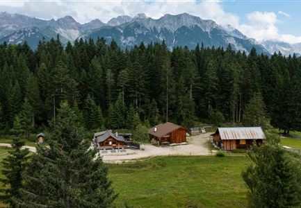
Another option is the route via the Bodenalm, where you can choose between the route from the Triendlsäge through the Drahnbach valley or the route via the spa hotel promenade and Heilbadstraße, past the waterfall. Behind the Bodenalm keep left and about 700 m before the Stundkapelle turn left onto the forest road. Now follow this path for a short stretch on the road through the Boden past the Gießenbach to the Sattelsteig. Remaining on the forest road, you go to the junction of the northern alpine path and follow this to the left uphill through the Sattelklamm gorge to the Hoher Sattel. In the field about 200 m after the hunting lodge, turn left to Hochfluder and follow the Schwarzweg slightly descending towards Weidach.
Features & Characteristics
Start Point
Valley Station Rosshütte
End Point
Seefeld Pedestrian Zone
Loop tour
Yes
