Start Point

Citizen and Tourism Service Reith

End Point

Citizen and Tourism Service Reith

Difficulty

Easy

Total Distance

4,60 km

Descent Meters

109 m

Ascent Meters

109 m

Highest Point

1128 m

Total Time

01:30 h

Map & Elevation Profile

Start Point

Citizen and Tourism Service Reith

End Point

Citizen and Tourism Service Reith

Difficulty

Easy

Total Distance

4,60 km

Descent Meters

109 m

Ascent Meters

109 m

Highest Point

1128 m

Total Time

01:30 h

Hiking

Best Time

Jan

Feb

Mar

Apr

May

Jun

Jul

Aug

Sep

Oct

Nov

Dec

Circular hike

Hiking tour

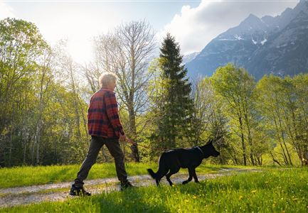
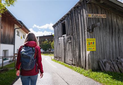
The hike starts at the Reith Information Office. From here, the route first leads right into Römerstraße, which runs through the village. Passing houses and gardens, the path continues gently through the town until it reaches the Kalktalweg turnoff on the left, just before the underpass.

The trail soon leaves the asphalt behind and continues on a gravel path. Following the railway tracks on the right, the route leads to the ÖBB Leithen train stop. Here, the path turns right, passing through the underpass, then follows Kobesbichlweg downhill until it reaches the main road.

After crossing the main road, the hike continues along Leithener Wiesenweg, which gradually turns into a gravel path. The forest road, running parallel to the highway, eventually brings the trail back into Reith.

The final stretch includes a short but steep climb: At the turnoff to Niederwiesenweg, the path heads right and uphill, passing through underpasses beneath both the highway and the railway tracks before reaching Lauserweg. The hike follows this path until it joins Römerstraße again, where the Reith Information Office – both the starting and ending point of this scenic loop – awaits on the right.

Features & Characteristics

Stamina

Technique

Start Point

Citizen and Tourism Service Reith

End Point

Citizen and Tourism Service Reith

Loop tour

Yes
Similar Tour Suggestions

Familie beim Wandern am Kaltwassersee - Seefeld (1) Kopie.jpg

Hiking

Stone Pine Trail Rosshütte Mountain Station

Length

662 m

Duration

00:15 h

Uphill

28 hm

Downhill

24 hm

Difficulty

Easy

Scharnitz - Wanderung Dorfrunde - Kirche in Scharnitz.jpg

Hiking

Scharnitz cultural hiking trail

Length

3,00 km

Duration

01:00 h

Uphill

53 hm

Altitude

1005 hm

Difficulty

Easy

Kulturwanderweg Reith im Sommer_Pfarrkirche Reith.jpg

Hiking

Cultural Hiking Trail Reith

Length

7,29 km

Duration

02:00 h

Uphill

140 hm

Altitude

1150 hm

Difficulty

Easy

Drohnenaufnahme Hämmermoosalm bei Sonnenuntergangsstimmung.jpg

Hiking

Hike to the Hämmermoosalm

Length

4,00 km

Duration

01:30 h

Uphill

175 hm

Altitude

1417 hm

Difficulty

Easy

Höhenweg Leutasch_Aussichtsplattform Höhenweg.jpg

Hiking

Circular hike to the viewing platform on the Höhenweg - Runst

Length

7,40 km

Duration

02:00 h

Uphill

128 hm

Altitude

1156 hm

Difficulty

Easy

Reith - Wanderung Frau Häusl Kapelle - Frau Häusl Kapelle mit Farn im Vordergrund.jpg

Hiking

On the rosary walking trail to the Frau Häusl chapel

Length

1,20 km

Duration

01:15 h

Uphill

100 hm

Altitude

1220 hm

Difficulty

Easy

kinder_bei_infotafel_in_der_geisterklamm.jpg

Hiking

Short circular trail at the Spirit Gorge

Length

500 m

Duration

00:15 h

Uphill

10 hm

Altitude

1027 hm

Difficulty

Easy

Scharnitz - Wanderung Dorfrunde - Weg durch den Wald mit blühenden Bäumen.jpg

Hiking

Wheelchair Hike Scharnitz–Gießenbach

Length

7,00 km

Duration

01:50 h

Uphill

40 hm

Altitude

1010 hm

Difficulty

Easy